La Concha Bay
A shell-shaped bay in San Sebastian closed by an island, with a promenade railing that has become the city's emblem.
Updated 21 October 2026
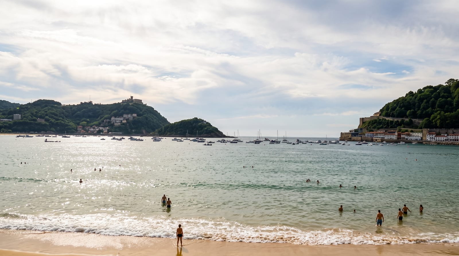
AI illustration
La Concha, the shell, curves for about a kilometre and a half between Monte Urgull and Monte Igueldo, with the island of Santa Clara sitting in the mouth of the bay and sheltering it, so the water stays calm and the tide runs a long way out over firm sand. The city grew around it after Queen Isabella II began coming for sea bathing in 1845 and the court followed, which is why the seafront is Belle Epoque in character. The white railing along the promenade, designed in the 1910s, is reproduced on souvenirs and in the city's branding. La Perla, a spa on the front, dates from the same period. Boats run to Santa Clara in summer, and the promenade continues around to Ondarreta beach. Monte Urgull was probably once an island, later joined to the land by sediment from the Urumea river.
Highlights
- The bay curve - a kilometre and a half of sand between two hills.
- The white railing - the promenade balustrade that became the city emblem.
- Santa Clara island - a wooded islet closing the bay, reached by summer boat.
- The Belle Epoque front - buildings from the royal bathing era.
When to go
May, June, September and October for the promenade without August crowds; the September film festival fills the city. The Basque coast is wet, and rain is likely in any month.
Before you go
The beach is packed through July and August, with the tide taking much of the usable sand at high water. San Sebastian is expensive and accommodation is scarce in summer and during the film festival. Rain is frequent.
Nearby
Monte Igueldo and Monte Urgull close either end; the Peine del Viento is beyond Ondarreta.
Key facts
Source: Wikidata, item Q2032658, read on 18 October 2026.
What to pack for La Concha Bay
Chosen from what this place is for. Tap a kit for the full checklist.
- Broken-in walking shoes or boots - Grip and ankle support matter more than looks; never hike in brand-new boots. Find on Amazon
- Layers + a waterproof shell - Mountain weather turns fast; a packable rain jacket saves the day. Find on Amazon
- Daypack with rain cover - 20-30 litres holds water, snacks, layers and a first-aid kit. Find on Amazon
- Offline maps + a power bank - Download the trail before you lose signal; carry backup charge. Find on Amazon
Some links on this page are Amazon affiliate links - if you buy through them we may earn a small commission at no extra cost to you.
All packing kitsPlan your trip
Where to start if La Concha Bay is going on the list.
Booking links on this page are affiliate links - if you book through them we may earn a small commission at no extra cost to you. It never changes what we write about a place.
Opening times, ticket prices and seasonal closures change - check the official source before you go: official site.