La Ruta Panorámica
A road of some forty linked stretches running the length of the mountain spine, from the east coast to the west, through the island nobody sees.
Updated 2 September 2026
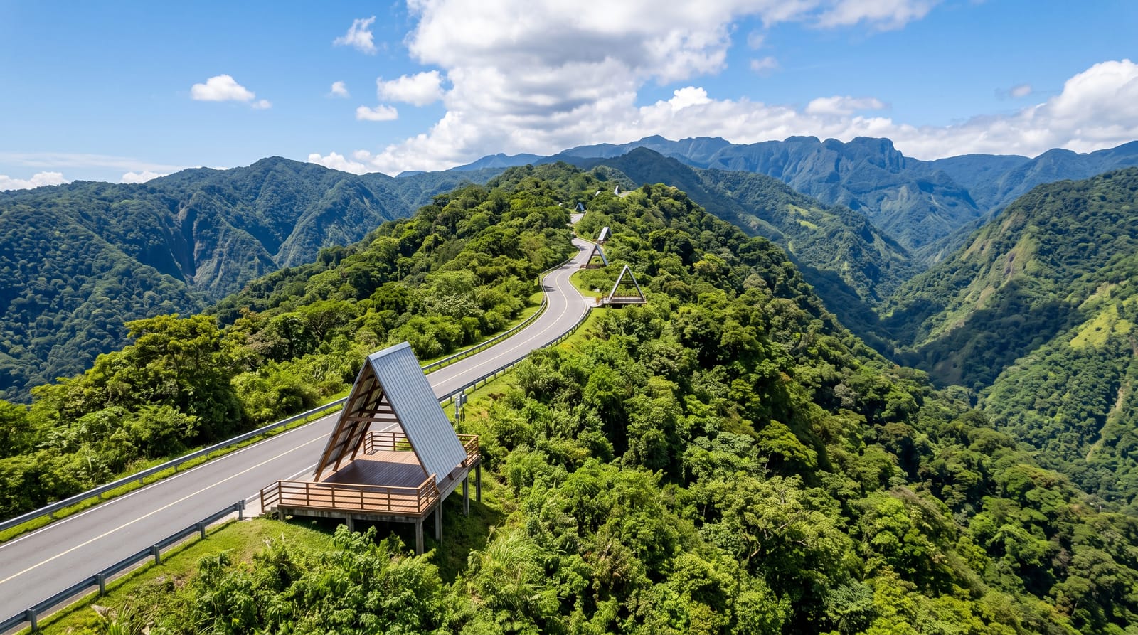
AI illustration
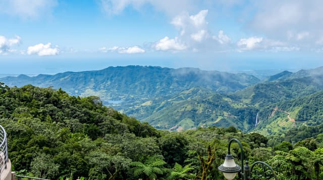
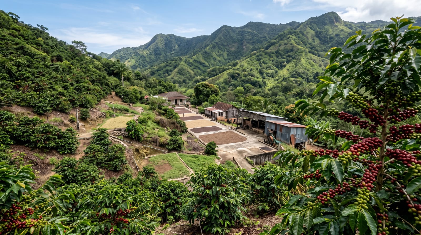
The Panoramic Route is not one road but a chain of about forty numbered mountain roads signposted end to end, running roughly two hundred and sixty-five kilometres along the top of the cordillera from Yabucoa on the east coast to Mayagüez on the west. It was laid out to open up the interior and it still does exactly that, passing coffee haciendas, forest reserves, roadside kiosks selling pinchos and coffee, and towns like Aibonito, Barranquitas and Adjuntas that most visitors never see. The driving is slow, the curves are constant, and at points the ridge is narrow enough to see down both sides at once. It takes two full days at minimum and rewards three.
The landscape
- The ridge sections - stretches where both slopes drop away at once.
- Mountain towns - Aibonito, Barranquitas, Adjuntas and Maricao.
- Roadside kiosks - coffee, pinchos and fruit along the whole route.
- The forest reserves - Carite, Toro Negro, Guilarte and Maricao on the way.
When to go
December to April is drier, which matters on mountain roads that fog in and wash out. The Aibonito flower festival is at the end of June. The interior is markedly cooler than the coast, and nights in the mountains genuinely need a jacket.
Things to know
Signage is inconsistent and the route is easy to lose; download offline maps because signal drops out repeatedly. Roads are narrow, potholed in places and shared with fast local drivers. Landslides close sections after heavy rain, sometimes for months. Accommodation along the route is sparse, so plan overnight stops in advance.
Nearby
Toro Negro and Cerro de Punta are on the route; the coffee haciendas lie just off it.
What to pack for La Ruta Panorámica
Chosen from what this place is for. Tap a kit for the full checklist.
- Broken-in walking shoes or boots - Grip and ankle support matter more than looks; never hike in brand-new boots. Find on Amazon
- Shelter suited to the place - Tent, tarp or hut booking - match it to the terrain and rules. Find on Amazon
- Layers + a waterproof shell - Mountain weather turns fast; a packable rain jacket saves the day. Find on Amazon
- A warm sleeping bag + mat - Rated a little colder than you expect the nights to be. Find on Amazon
Some links on this page are Amazon affiliate links - if you buy through them we may earn a small commission at no extra cost to you.
All packing kitsPlan your trip
Where to start if La Ruta Panorámica is going on the list.
Booking links on this page are affiliate links - if you book through them we may earn a small commission at no extra cost to you. It never changes what we write about a place.
Opening times, ticket prices and seasonal closures change - check the official source before you go: official site.