The Lycian Way
Turkey's first long-distance footpath - some 760 km of waymarked coast and mountain from Oludeniz to Antalya, threading ancient ruins, empty beaches and Taurus cliffs.
Updated 7 August 2026
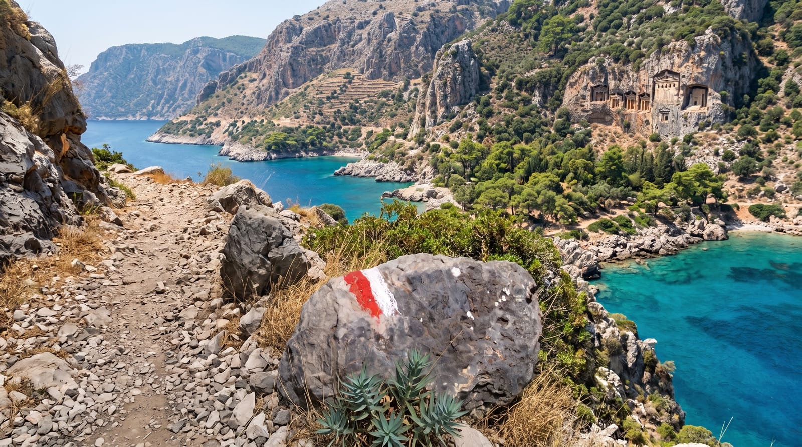
AI illustration
The Lycian Way threads some 760 kilometres of Turkey's southwestern shore in its extended modern form - from the hills above Oludeniz to the outskirts of Antalya - and it was the country's first waymarked long-distance trail, plotted and painted red-and-white in 1999 along the mule paths and old roads of ancient Lycia. Few trails anywhere pack this density: rock-cut tombs above turquoise bays, the sunken ruins around Kekova, the long sands of Patara, cedar forest on the Taurus shoulders and the natural gas flames of the Chimaera burning from bare rock above Cirali. Most walkers take it in sections - village pensions and campsites string the route, and buses shortcut the dull stretches - while the classic month-long thru-hike remains one of the Mediterranean's great walking journeys, ruins and swimming coves spaced like rewards.
What you'll find
- The Lycian tombs - rock-cut temple facades above the trail's bays.
- Kekova's shore - sunken ruins beneath clear water on the middle sections.
- Patara's dunes - the trail dropping to kilometres of empty sand.
- The Chimaera flames - gas seeps burning from open rock above Cirali.
When to go
April to May and September to October are the walking seasons - wildflowers or warm seas. High summer is dangerously hot on the exposed stretches, and winter brings rain with snow on the high passes.
Good to know
This is real trekking - rocky underfoot, steep gradients and sparse water on some stages; proper boots and a guidebook or route app are not optional. Waymarking is decent but faded in places, and accommodation gaps on remote sections need a tent or careful planning.
Nearby
Oludeniz, Saklikent Gorge and the ancient cities of Xanthos and Patara on or near the route.
Key facts
Source: Wikidata, item Q1731039, read on 18 October 2026.
What to pack for The Lycian Way
Chosen from what this place is for. Tap a kit for the full checklist.
- Broken-in walking shoes or boots - Grip and ankle support matter more than looks; never hike in brand-new boots. Find on Amazon
- Reef-safe sunscreen - High SPF that will not bleach the coral you are swimming over. Find on Amazon
- Warm base layers - Merino or synthetic against the skin - never cotton, which chills when damp. Find on Amazon
- Loose, light, long clothing - Covering up beats bare skin in the desert - and locals dress this way for a reason. Find on Amazon
Some links on this page are Amazon affiliate links - if you buy through them we may earn a small commission at no extra cost to you.
All packing kitsPlan your trip
Where to start if The Lycian Way is going on the list.
Booking links on this page are affiliate links - if you book through them we may earn a small commission at no extra cost to you. It never changes what we write about a place.
Opening times, ticket prices and seasonal closures change - check the official source before you go: official site.