Toro Negro Forest
The high spine of the island, a cool cloud forest reserve holding Puerto Rico's highest peak and its tallest waterfall.
Updated 22 October 2026
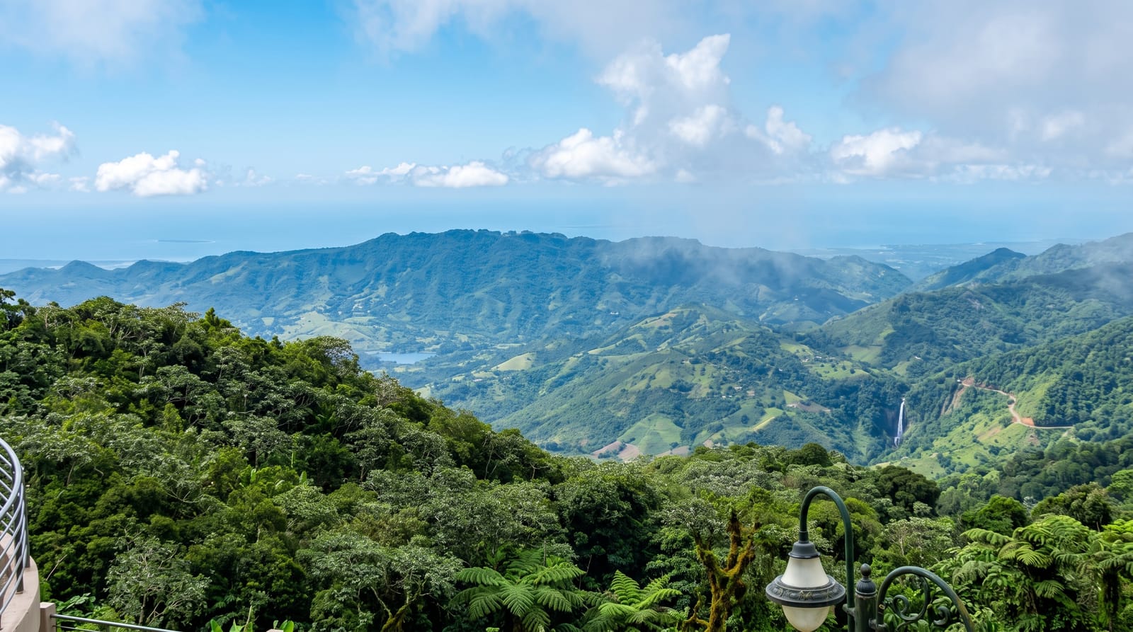
AI illustration
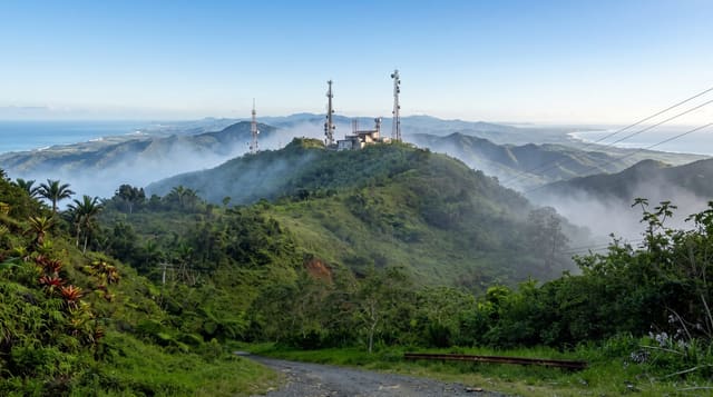
Toro Negro straddles the crest of the Cordillera Central and contains the highest ground on the island, including Cerro de Punta at just over thirteen hundred metres, from which on a clear day you can see both coasts at once and, occasionally, the shape of the Dominican Republic on the horizon. The forest here is cooler and wetter than anywhere else in Puerto Rico, with tree ferns, palms and mosses, and temperatures that can drop enough at night to make islanders complain about cold. Doña Juana falls drop beside the road, and trails run to observation towers and along the ridge. It is far less visited than El Yunque, which means the trails are quiet and the birdsong is uninterrupted.
History
In 1876 King Alfonso XII issued the first proclamation for forest reserves in Puerto Rico, and the land here was coffee plantation until reforestation began in the 1930s. The Puerto Rico Reconstruction Administration acquired the first 2,733 cuerdas in 1934, the forest was long part of the Caribbean National Forest, and on 21 May 1962 it was transferred to the Government of Puerto Rico (Wikipedia, Toro Negro State Forest).
What you'll find
- Cerro de Punta - the island's highest point, with both coasts visible on a clear day.
- Doña Juana falls - the roadside waterfall in the forest.
- The cloud forest - tree ferns and mosses on the high ridge.
- The Ruta Panorámica - the mountain road running the length of the range.
When to go
December to April is drier, though the cloud forest is wet by definition and rain is likely in any month; mornings offer the best chance of a clear view from the summit before cloud builds. It is genuinely cool up here, so bring a layer.
Before you go
Cloud sits on the summit much of the time and the two-coast view is a matter of luck. Trails and facilities have suffered storm damage over the years and sections have been closed for long periods, so check current status. The access road to Cerro de Punta is extremely steep and narrow. There are no services in the reserve.
Nearby
Jayuya and the coffee haciendas are north; Ponce lies down on the southern coast.
Key facts
Source: Wikidata, item Q3728732, read on 18 October 2026.
What to pack for Toro Negro Forest
Chosen from what this place is for. Tap a kit for the full checklist.
- Broken-in walking shoes or boots - Grip and ankle support matter more than looks; never hike in brand-new boots. Find on Amazon
- Layers + a waterproof shell - Mountain weather turns fast; a packable rain jacket saves the day. Find on Amazon
- Daypack with rain cover - 20-30 litres holds water, snacks, layers and a first-aid kit. Find on Amazon
- Offline maps + a power bank - Download the trail before you lose signal; carry backup charge. Find on Amazon
Some links on this page are Amazon affiliate links - if you buy through them we may earn a small commission at no extra cost to you.
All packing kitsPlan your trip
Where to start if Toro Negro Forest is going on the list.
Booking links on this page are affiliate links - if you book through them we may earn a small commission at no extra cost to you. It never changes what we write about a place.
Opening times, ticket prices and seasonal closures change - check the official source before you go: official site.