Cerro de Punta
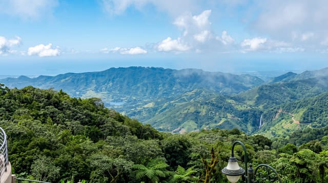
The island's highest point at 1,338 metres, in cloud forest in the central cordillera, with both coasts visible on a clear morning.
Updated 2 September 2026
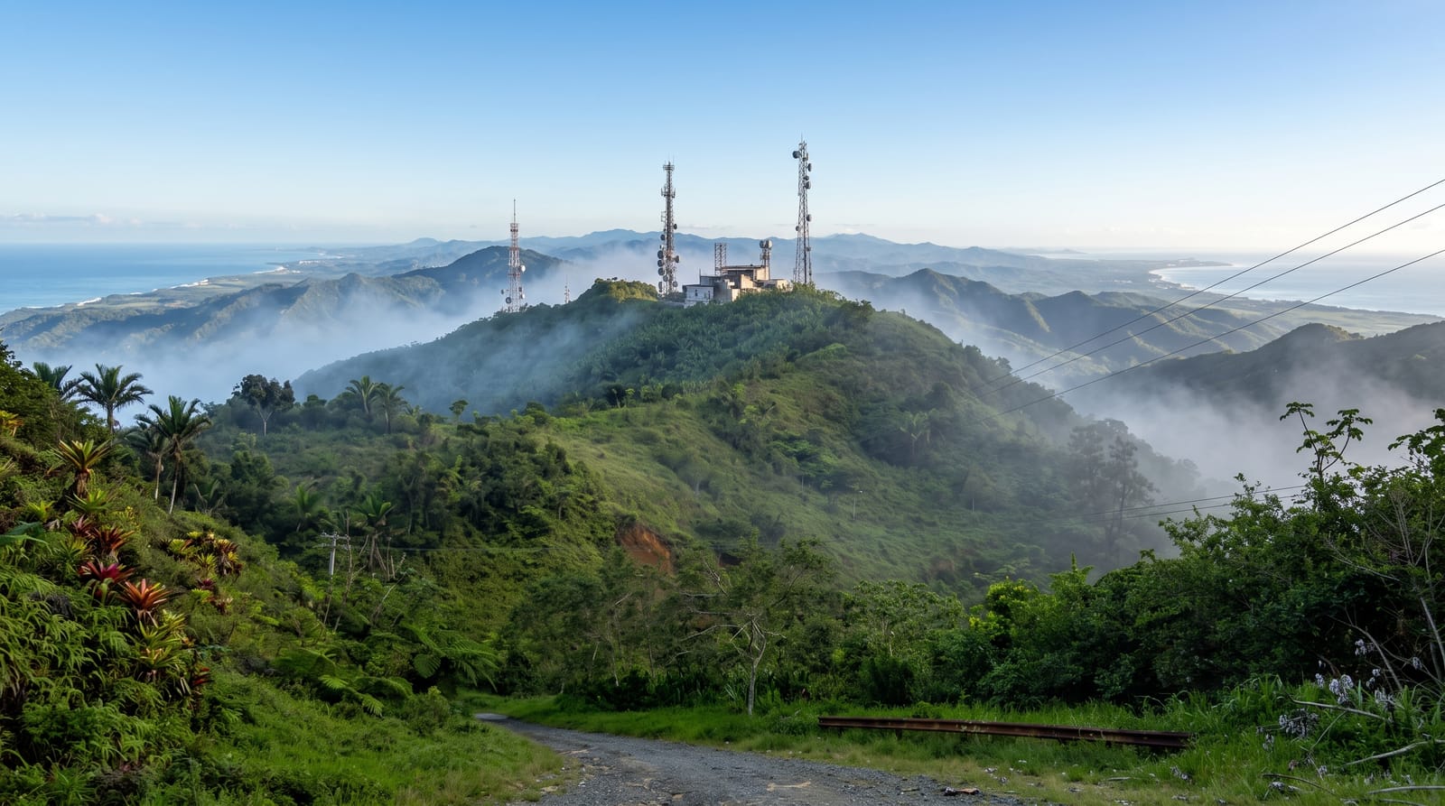
AI illustration
Cerro de Punta rises to one thousand three hundred and thirty-eight metres in the Cordillera Central, the highest point on the island, and it sits in a band of dwarf and cloud forest that feels nothing like the coast an hour away: cool, wet, hung with bromeliads and mosses, with sierra palms and stunted trees shaped by the wind. On a clear early morning both the Atlantic and the Caribbean are visible from the summit at the same time, which is the reason to make the effort at dawn rather than later. A very steep paved service road climbs the last stretch to the antennas on top, walkable in about half an hour, and the Ruta Panorámica passes the turning.
What you'll find
- The summit view - both coasts at once on a clear early morning.
- Cloud forest - bromeliads, mosses and sierra palms near the top.
- The Toro Negro forest - trails and waterfalls on the same ridge.
- The Ruta Panorámica - the mountain road that reaches the turning.
When to go
December to April is the driest and clearest, and early morning is essential since cloud usually covers the summit from mid-morning onward. It is cold and windy up here by island standards, so bring a layer.
Before you go
The final access road is extremely steep and narrow with a poor surface, and most drivers are better off parking at the bottom and walking. Cloud wins more often than not, so a clear view is luck. The summit itself is occupied by communication towers, which is not what the photographs suggest.
Nearby
Toro Negro forest surrounds it; Jayuya and the Taíno petroglyph sites are below.
Key facts
Source: Wikidata, item Q2714342, read on 18 October 2026.
What to pack for Cerro de Punta
Chosen from what this place is for. Tap a kit for the full checklist.
- Broken-in walking shoes or boots - Grip and ankle support matter more than looks; never hike in brand-new boots. Find on Amazon
- Layers for big temperature swings - Warm sun by day, near-freezing at night, even near the equator. Find on Amazon
- Layers + a waterproof shell - Mountain weather turns fast; a packable rain jacket saves the day. Find on Amazon
- Extra-strong sun protection - Thin air means fierce UV; hat, sunglasses and high-SPF sunscreen. Find on Amazon
Some links on this page are Amazon affiliate links - if you buy through them we may earn a small commission at no extra cost to you.
All packing kitsPlan your trip
Where to start if Cerro de Punta is going on the list.
Booking links on this page are affiliate links - if you book through them we may earn a small commission at no extra cost to you. It never changes what we write about a place.
Opening times, ticket prices and seasonal closures change - check the official source before you go: official site.