Mount Lamington
A forested stratovolcano in Oro Province that was not recognised as active until it erupted catastrophically in 1951.
Updated 1 September 2026
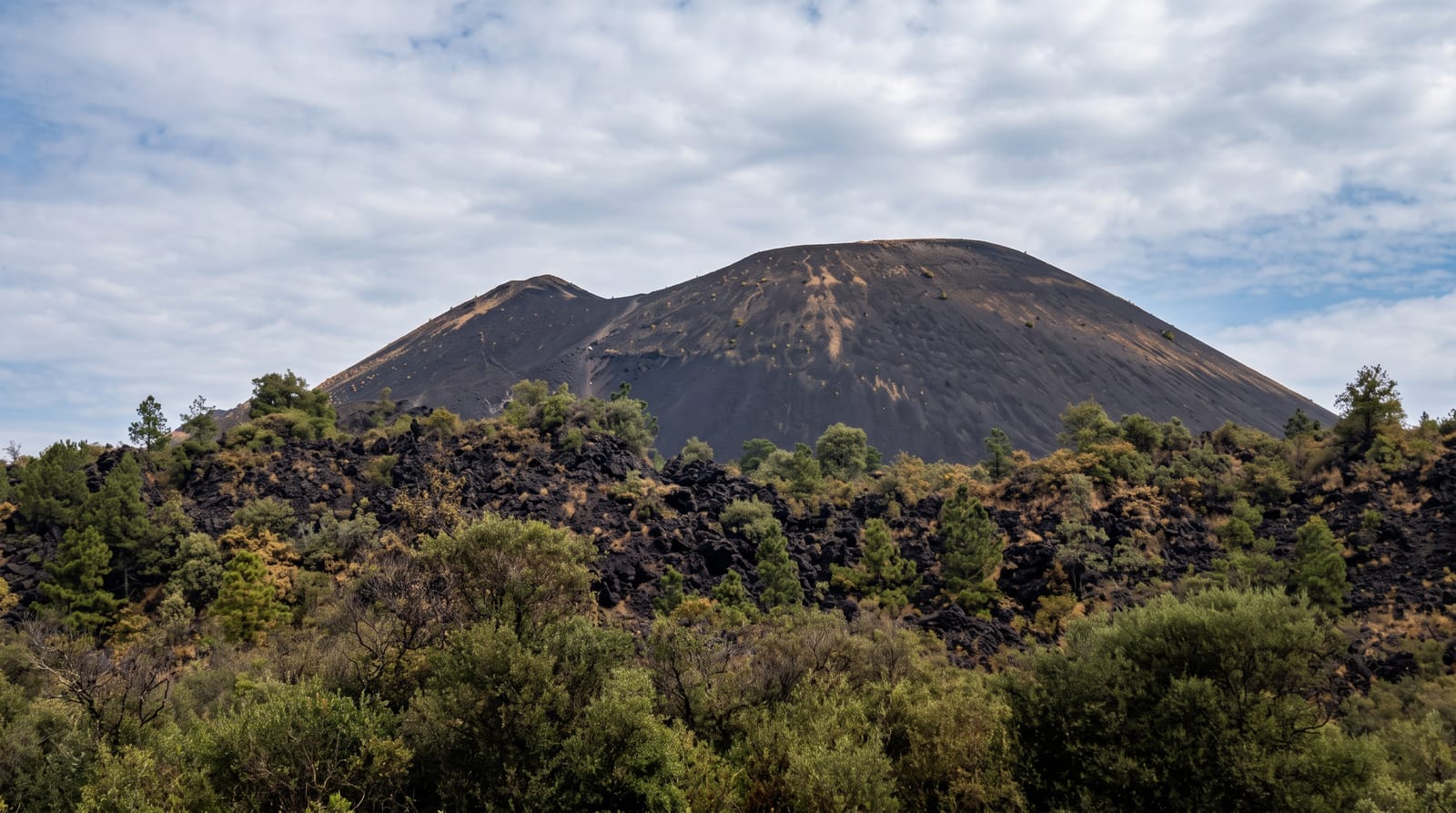
Lamington rises to around 1,680 metres above the Popondetta plain in Oro Province, forested and unremarkable in appearance, and it was not known to be a volcano at all until January 1951, when it erupted with a lateral blast and pyroclastic flows that devastated the surrounding district; the event is one of the defining studies in volcanology of this type and the volcano has been monitored since. The crater holds a lava dome grown after the eruption. The forest has regrown on the flanks and villages farm them. Climbing is possible when the volcano is quiet, taking two days from the villages with guides, through gardens and then regrown forest to the crater rim.
What's there
- The crater and dome - the summit and the dome grown since 1951.
- Regrown forest - the vegetation recovered on the flanks.
- The Popondetta plain - the country below the mountain.
- The climb - the two-day route through gardens and forest.
When to go
May to October in the drier season for the climb; the wet season makes the route difficult. Current volcanic status should be checked, since activity closes access. Guides and landowner arrangements are needed.
Things to know
The volcano is monitored and access closes when activity increases. The climb is long, hot and steep with camping on the mountain. Guides and landowner permission are required and arranged locally. There is no infrastructure.
Nearby
Popondetta lies below; the Kokoda Track ends northeast of the mountain.
Key facts
Source: Wikidata, item Q1367889, read on 18 October 2026.
What to pack for Mount Lamington
Chosen from what this place is for. Tap a kit for the full checklist.
- Broken-in walking shoes or boots - Grip and ankle support matter more than looks; never hike in brand-new boots. Find on Amazon
- Shelter suited to the place - Tent, tarp or hut booking - match it to the terrain and rules. Find on Amazon
- Layers + a waterproof shell - Mountain weather turns fast; a packable rain jacket saves the day. Find on Amazon
- A warm sleeping bag + mat - Rated a little colder than you expect the nights to be. Find on Amazon
Some links on this page are Amazon affiliate links - if you buy through them we may earn a small commission at no extra cost to you.
All packing kitsPlan your trip
Where to start if Mount Lamington is going on the list.
Booking links on this page are affiliate links - if you book through them we may earn a small commission at no extra cost to you. It never changes what we write about a place.
Opening times, ticket prices and seasonal closures change - check the official source before you go: official site.