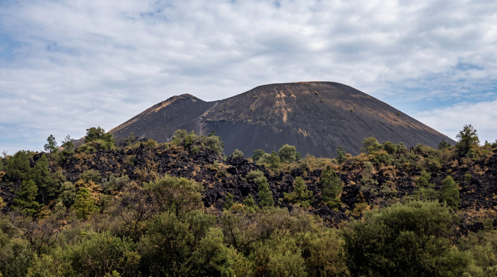
Mount Balbi
The highest point of Bougainville, a volcano with crater lakes and steaming vents, climbed from the villages below.
Updated 1 September 2026
Balbi rises to 2,715 metres in northern Bougainville, the highest point of the island and of the Solomons chain, a volcanic massif with several craters at the summit holding small lakes and with active fumaroles and sulphur deposits venting on the upper slopes. The lower flanks are rainforest and gardens, giving way to moss forest and then to open ground near the top, and the climb takes two to three days from the villages with camping and guides, who hold the knowledge of the route. Bougainville has an endemic bird list including the Bougainville honeyeater and thicketbird. Access to the island is by air or ship to Buka and then road south.
The landscape
- The summit craters - the crater lakes on the volcano's top.
- Fumaroles - the steaming vents and sulphur on the upper slopes.
- Moss forest - the wet upper forest below the summit.
- Endemic birds - the Bougainville species in the forest.
When to go
May to October in the drier season for the climb; the mountain is wet in any month and cloud covers the summit most days. Climbs need arranging weeks ahead with guides and landowners.
Things to know
The climb is a multi-day expedition with camping, guides and landowner agreement, not a day walk. Rain, mud and leeches are constant. There is no rescue capability. Getting to Bougainville and then to the trailhead takes several days of connections.
Nearby
Buka lies north across the passage; Arawa is south.
Key facts
Source: Wikidata, item Q1298202, read on 18 October 2026.
What to pack for Mount Balbi
Chosen from what this place is for. Tap a kit for the full checklist.
- Broken-in walking shoes or boots - Grip and ankle support matter more than looks; never hike in brand-new boots. Find on Amazon
- Strong insect repellent - DEET or picaridin; the jungle is where bites and disease risk are highest. Find on Amazon
- Shelter suited to the place - Tent, tarp or hut booking - match it to the terrain and rules. Find on Amazon
- Layers + a waterproof shell - Mountain weather turns fast; a packable rain jacket saves the day. Find on Amazon
Some links on this page are Amazon affiliate links - if you buy through them we may earn a small commission at no extra cost to you.
All packing kitsPlan your trip
Where to start if Mount Balbi is going on the list.
Booking links on this page are affiliate links - if you book through them we may earn a small commission at no extra cost to you. It never changes what we write about a place.
Opening times, ticket prices and seasonal closures change - check the official source before you go: official site.