Sognefjellet Mountain Road
Northern Europe's highest mountain pass road, crossing at 1,434 metres between the Sognefjord and Jotunheimen.
Updated 4 September 2026

AI illustration
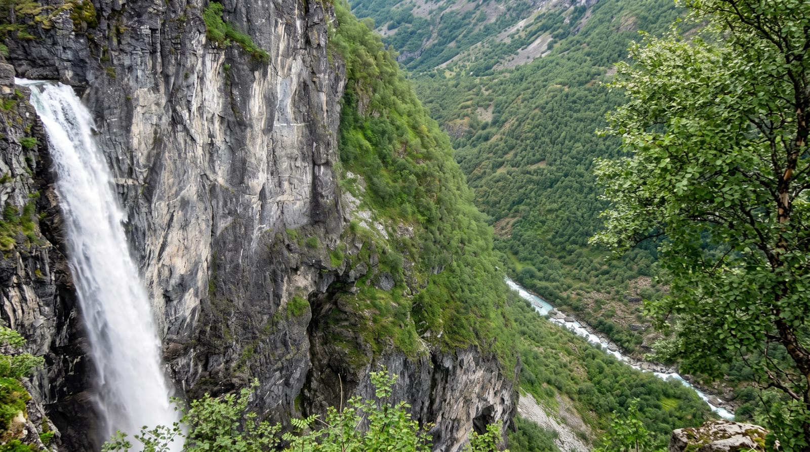
The Sognefjell road runs 108 kilometres between Skjolden at the head of the Sognefjord and Lom in Gudbrandsdalen, climbing to 1,434 metres at its highest point, which makes it the highest mountain pass road in northern Europe. It follows the line of an old drove route across the mountains, upgraded into a road in the 1930s using labour employed during the Depression. The top section runs through a bare landscape of rock, snow patches and small lakes with the Hurrungane peaks close to the south, and rest stops designed as part of the Norwegian Scenic Routes programme sit along it. The road closes with the first heavy snow, usually from late October to May, and can shut in summer storms.
What you'll find
- The high pass - a crossing at 1,434 metres through bare mountain terrain.
- The Hurrungane peaks - the sharp Jotunheimen summits close to the road.
- The scenic route stops - designed rest areas along the crossing.
- The snow walls - cut drifts standing beside the road in early summer.
When to go
June to September, the reliable open season; the road usually opens in May and closes with autumn snow. Early summer gives snow walls along the roadside. Fog and sleet occur at the top in any month.
Good to know
The road is narrow in sections with tight bends and is not suited to large vehicles. It closes without much notice in bad weather, including in summer. There is no fuel on the high section and phone coverage is patchy.
Nearby
Lom stave church is at the eastern end; Skjolden, the Lustrafjord and Turtagro lie west and south.
Key facts
Source: Wikidata, item Q1427977, read on 18 October 2026.
What to pack for Sognefjellet Mountain Road
Chosen from what this place is for. Tap a kit for the full checklist.
- Warm base layers - Merino or synthetic against the skin - never cotton, which chills when damp. Find on Amazon
- Comfortable walking shoes - Sightseeing means kilometres of pavement and cobbles daily. Find on Amazon
- An insulated + windproof jacket - A down or synthetic layer under a hard shell handles most cold. Find on Amazon
- A slim anti-theft daypack - Zips that close properly; keep it in front in crowds and on transit. Find on Amazon
Some links on this page are Amazon affiliate links - if you buy through them we may earn a small commission at no extra cost to you.
All packing kitsPlan your trip
Where to start if Sognefjellet Mountain Road is going on the list.
Booking links on this page are affiliate links - if you book through them we may earn a small commission at no extra cost to you. It never changes what we write about a place.
Opening times, ticket prices and seasonal closures change - check the official source before you go: official site.