Vettisfossen
Norway's tallest unregulated waterfall, a 275-metre free fall in a protected valley reached only on foot.
Updated 4 September 2026
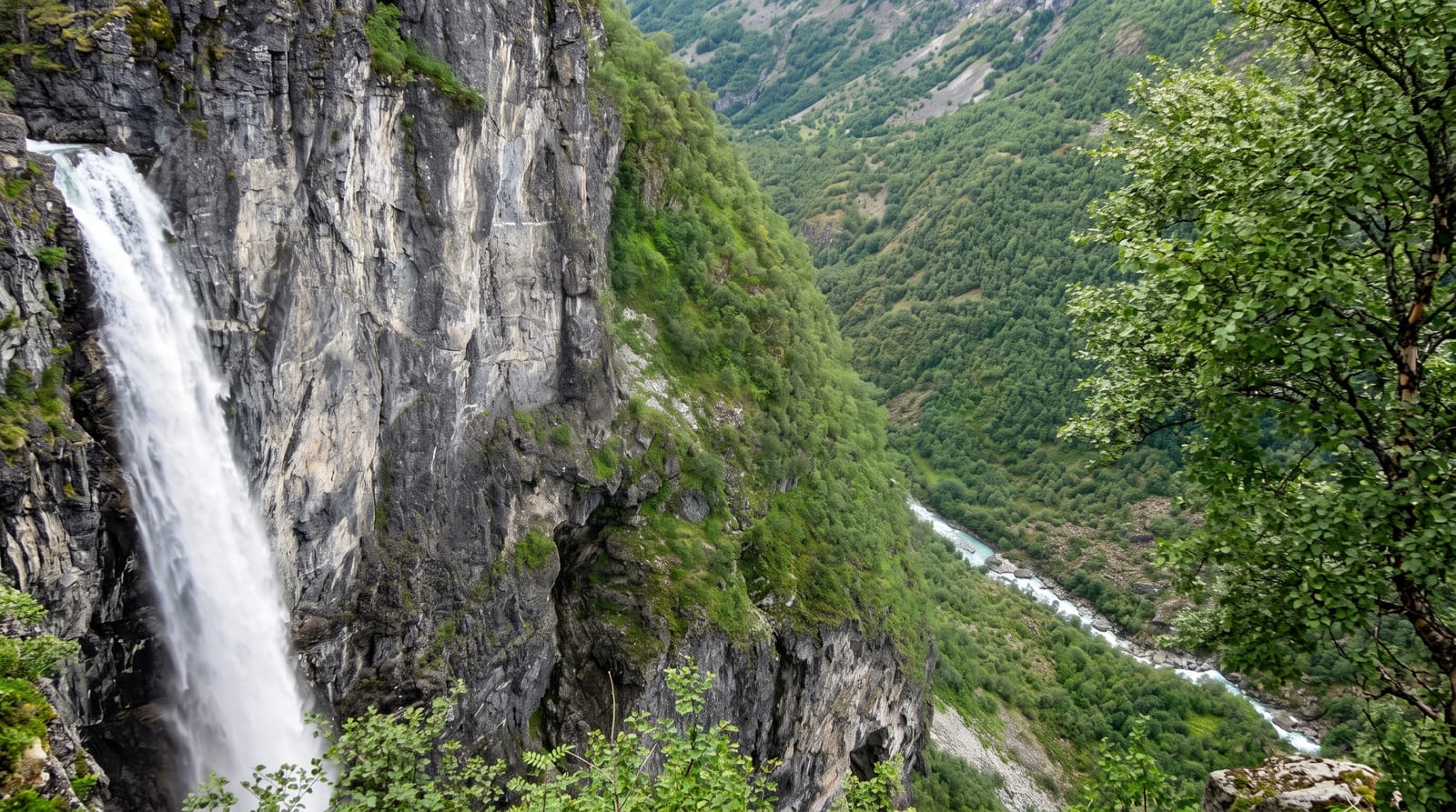
AI illustration
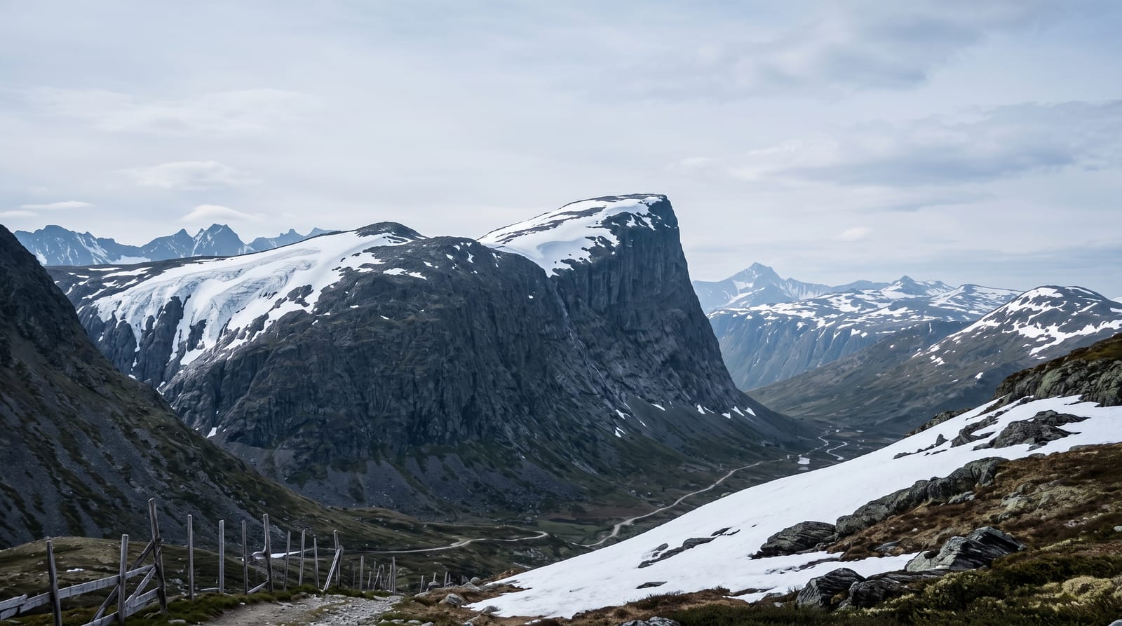
Vettisfossen drops 275 metres in a single unbroken fall into the Utladalen valley, and because the river is not dammed anywhere upstream it is the tallest free-falling waterfall in Norway that runs at natural volume all year. It was protected by royal decree in 1924, one of the earliest conservation acts in the country. There is no road: the walk in from Hjelle takes about two hours along a track through a steep-sided protected valley, past the old farm at Vetti which now serves as a lodge, then a final climb to a viewpoint at the top or a path to the base. The valley is a landscape protection area within the Jotunheimen fringe, with old farms and paths that predate any road.
Highlights
- The 275-metre free fall - an unbroken, unregulated drop.
- Utladalen - a narrow protected valley with steep walls.
- Vetti farm - an old mountain farm on the route, now a lodge.
- The viewpoints - paths to both the base and the top of the fall.
When to go
June to September, when the path is clear and the lodge open; flow is highest with the June snowmelt. Autumn brings colour to the valley. Winter access is not maintained.
Before you go
The walk in and out is four hours minimum before any detours, on a track that is rough in places with steep sections near the fall. There is no vehicle access at all. Spray soaks the lower viewpoint in high water, and the upper path has unfenced drops.
Nearby
Ovre Ardal lies at the valley mouth; Turtagro, Hurrungane and the Sognefjell road are north.
Key facts
Source: Wikidata, item Q38437, read on 18 October 2026.
What to pack for Vettisfossen
Chosen from what this place is for. Tap a kit for the full checklist.
- Broken-in walking shoes or boots - Grip and ankle support matter more than looks; never hike in brand-new boots. Find on Amazon
- Layers + a waterproof shell - Mountain weather turns fast; a packable rain jacket saves the day. Find on Amazon
- Daypack with rain cover - 20-30 litres holds water, snacks, layers and a first-aid kit. Find on Amazon
- Offline maps + a power bank - Download the trail before you lose signal; carry backup charge. Find on Amazon
Some links on this page are Amazon affiliate links - if you buy through them we may earn a small commission at no extra cost to you.
All packing kitsPlan your trip
Where to start if Vettisfossen is going on the list.
Booking links on this page are affiliate links - if you book through them we may earn a small commission at no extra cost to you. It never changes what we write about a place.
Opening times, ticket prices and seasonal closures change - check the official source before you go: official site.