Crown Range Road
The highest sealed road in the country at 1,076 metres, with a switchback climb that some drivers refuse twice.
Updated 12 October 2026
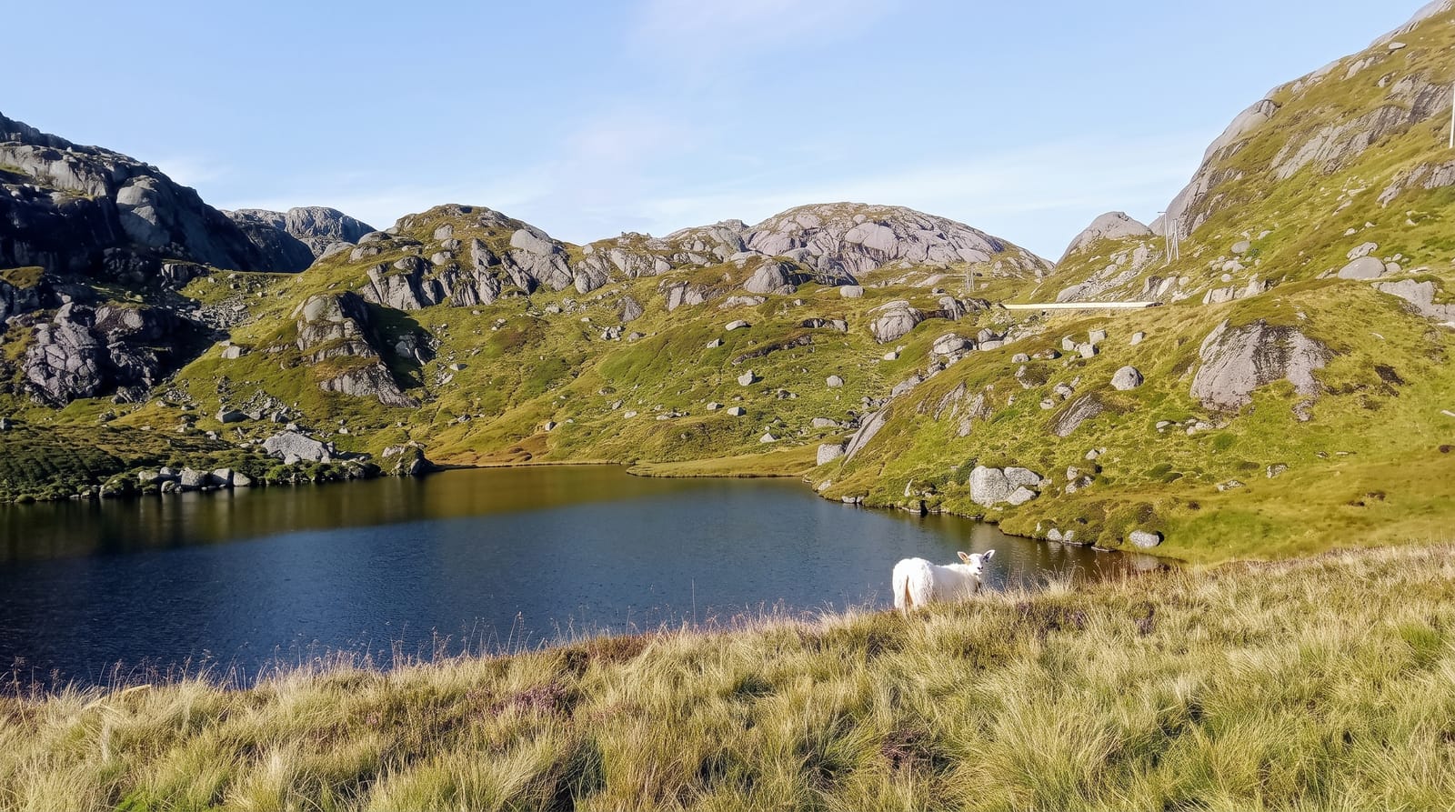
The Crown Range Road climbs to 1,076 metres between the Wakatipu and Cardrona valleys, which makes it the highest sealed public road in New Zealand and the direct route between Queenstown and Wanaka - about an hour, against roughly ninety minutes round through Cromwell. The southern end is the part people talk about: a set of tight switchbacks climbing out of the Wakatipu basin with a lookout partway up giving Arrowtown, the basin and the Remarkables. The summit is open tussock, cold, and often the coldest place on the local forecast. In winter it carries snow and ice, chain requirements are common and it closes outright in bad weather; the Cromwell route is the alternative. Some rental agreements restrict it in winter. Along the way are the Cardrona Hotel and the bra fence, and in ski season it carries heavy traffic to the Cardrona and Treble Cone fields.
What to look for
- The switchbacks - the tight climb out of the Wakatipu basin.
- The summit - 1,076 metres of open tussock, the highest sealed road.
- The lookout - Arrowtown and the basin from partway up.
- The Cardrona valley - the descent on the Wanaka side.
When to go
October to April for easy driving. In winter check conditions before setting out - chains are frequently required and the road closes in snow.
Good to know
The switchbacks are steep and tight; nervous drivers and large campervans find them hard work. Winter conditions are serious and rental agreements sometimes exclude the road. There are no services on the summit.
Nearby
Cardrona Hotel is on the northern side; Arrowtown and Queenstown are west.
Key facts
Source: Wikidata, item Q137672624, read on 18 October 2026.
What to pack for Crown Range Road
Chosen from what this place is for. Tap a kit for the full checklist.
- Warm base layers - Merino or synthetic against the skin - never cotton, which chills when damp. Find on Amazon
- Comfortable walking shoes - Sightseeing means kilometres of pavement and cobbles daily. Find on Amazon
- An insulated + windproof jacket - A down or synthetic layer under a hard shell handles most cold. Find on Amazon
- A slim anti-theft daypack - Zips that close properly; keep it in front in crowds and on transit. Find on Amazon
Some links on this page are Amazon affiliate links - if you buy through them we may earn a small commission at no extra cost to you.
All packing kitsPlan your trip
Where to start if Crown Range Road is going on the list.
Booking links on this page are affiliate links - if you book through them we may earn a small commission at no extra cost to you. It never changes what we write about a place.
Opening times, ticket prices and seasonal closures change - check the official source before you go: official site.