Lysevegen
Twenty-seven hairpin bends climbing nine hundred metres out of the Lysefjord from Lysebotn.
Updated 4 September 2026
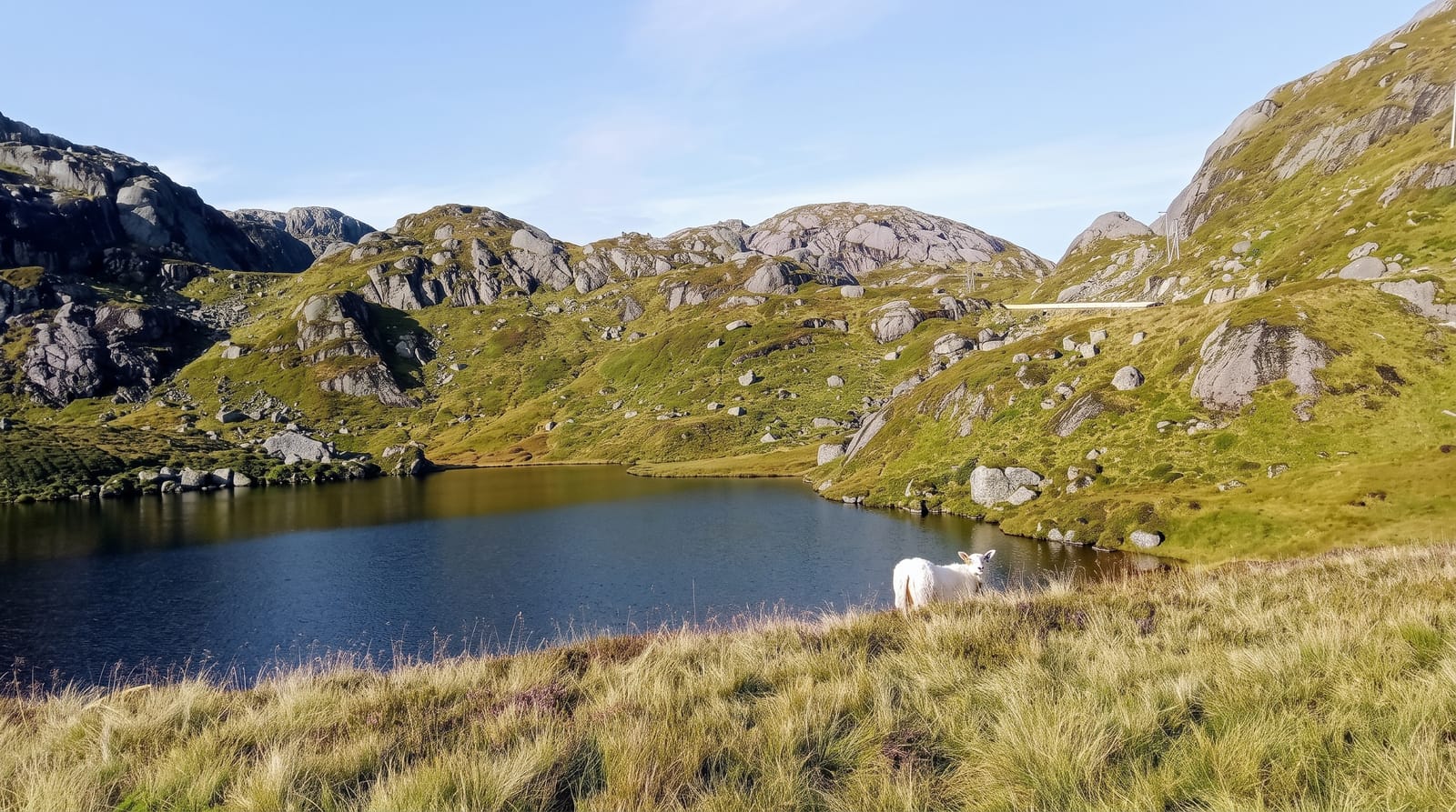
AI illustration
Lysebotn sits at the head of the Lysefjord with mountains on all sides, and the only road out climbs the wall behind it in twenty-seven hairpin bends, rising about nine hundred metres in a few kilometres and passing through a spiralling tunnel inside the rock on the way. The road was built in the 1970s for the hydropower development at Lysebotn and opened to traffic afterwards. From the top the view runs back down the fjord toward Kjerag and Preikestolen. The usual arrangement is to arrive by ferry along the fjord and drive out over the top, or the reverse. The road closes for winter, generally from November to May, and Lysebotn is then reachable only by boat.
The main sights
- The twenty-seven hairpins - a nine-hundred-metre climb from the fjord.
- The spiral tunnel - a helical section cut inside the mountain.
- The fjord view - the Lysefjord seen from the top of the climb.
- Lysebotn - the small settlement at the head of the fjord.
When to go
June to September, when the road is open and the fjord ferries run; opening depends on snow clearance and the road shuts for winter. Traffic is heaviest in July when Kjerag is busiest.
Practical notes
The road is narrow with very tight bends and heavy summer traffic including buses, and passing can be difficult. Brakes overheat on the descent. Lysebotn has minimal facilities and fills with Kjerag walkers' vehicles.
Nearby
Kjerag and the Kjeragbolten boulder are above; Preikestolen and Stavanger lie down the fjord.
What to pack for Lysevegen
Chosen from what this place is for. Tap a kit for the full checklist.
- Warm base layers - Merino or synthetic against the skin - never cotton, which chills when damp. Find on Amazon
- Comfortable walking shoes - Sightseeing means kilometres of pavement and cobbles daily. Find on Amazon
- An insulated + windproof jacket - A down or synthetic layer under a hard shell handles most cold. Find on Amazon
- A slim anti-theft daypack - Zips that close properly; keep it in front in crowds and on transit. Find on Amazon
Some links on this page are Amazon affiliate links - if you buy through them we may earn a small commission at no extra cost to you.
All packing kitsPlan your trip
Where to start if Lysevegen is going on the list.
Booking links on this page are affiliate links - if you book through them we may earn a small commission at no extra cost to you. It never changes what we write about a place.
Opening times, ticket prices and seasonal closures change - check the official source before you go: official site.