Route des Grandes Alpes
About seven hundred kilometres from Lake Geneva to the Mediterranean, over roughly twenty high passes.
Updated 4 September 2026
AI illustration
The route was conceived before the first war by the Touring Club de France to link the Alps end to end, and it runs roughly seven hundred kilometres from Lake Geneva to the Mediterranean over about twenty passes, several above two thousand metres: the Iseran at 2,764 metres is the highest paved pass in the Alps, and the Galibier, Izoard, Bonette and Col de la Cayolle follow. Much of it is Tour de France ground and cyclists ride it in numbers each summer. It ends at Menton on the coast, so the landscape shifts from glacier and pasture to lavender and olive over a few days of driving.
What's there
- The Iseran - the highest paved pass in the Alps at 2,764 metres.
- The Tour climbs - Galibier, Izoard and the Bonette loop.
- The landscape shift - glaciers to olive groves along one route.
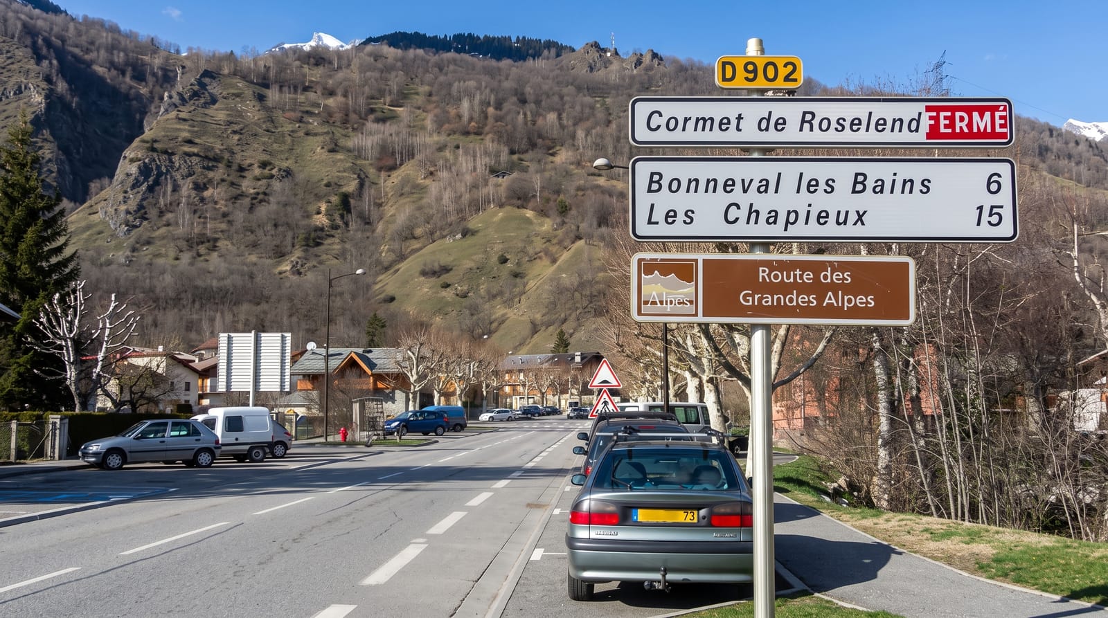
- The mountain villages - Bonneval, Saint-Veran and the high hamlets.
When to go
Late June to September; most high passes are closed by snow from October to late June, and opening dates vary by year. July and August bring heavy cyclist and motorcycle traffic.
Practical notes
Pass opening dates are weather-dependent and published late, so early-season plans can fail. Roads are narrow with hairpins and heavy summer traffic. Fuel and services on the high sections are sparse.
Nearby
The Vanoise and Ecrins parks lie along the route; Menton is the southern end.
Key facts
Source: Wikidata, item Q1471539, read on 18 October 2026.
What to pack for Route des Grandes Alpes
Chosen from what this place is for. Tap a kit for the full checklist.
- Padded shorts - The one thing that makes a full day in the saddle bearable. Find on Amazon
- Warm base layers - Merino or synthetic against the skin - never cotton, which chills when damp. Find on Amazon
- Comfortable walking shoes - Sightseeing means kilometres of pavement and cobbles daily. Find on Amazon
- Helmet - Bring your own if you have a good one; rentals vary wildly. Find on Amazon
Some links on this page are Amazon affiliate links - if you buy through them we may earn a small commission at no extra cost to you.
All packing kitsPlan your trip
Where to start if Route des Grandes Alpes is going on the list.
Booking links on this page are affiliate links - if you book through them we may earn a small commission at no extra cost to you. It never changes what we write about a place.
Opening times, ticket prices and seasonal closures change - check the official source before you go: official site.