Nigardsbreen
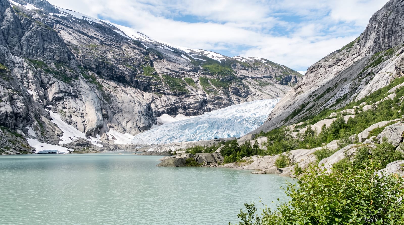
A dramatic blue glacier arm you can walk up to and, with a guide, onto - reached across a meltwater lake by boat in the Jostedalen valley.
Updated 16 October 2026
AI illustration
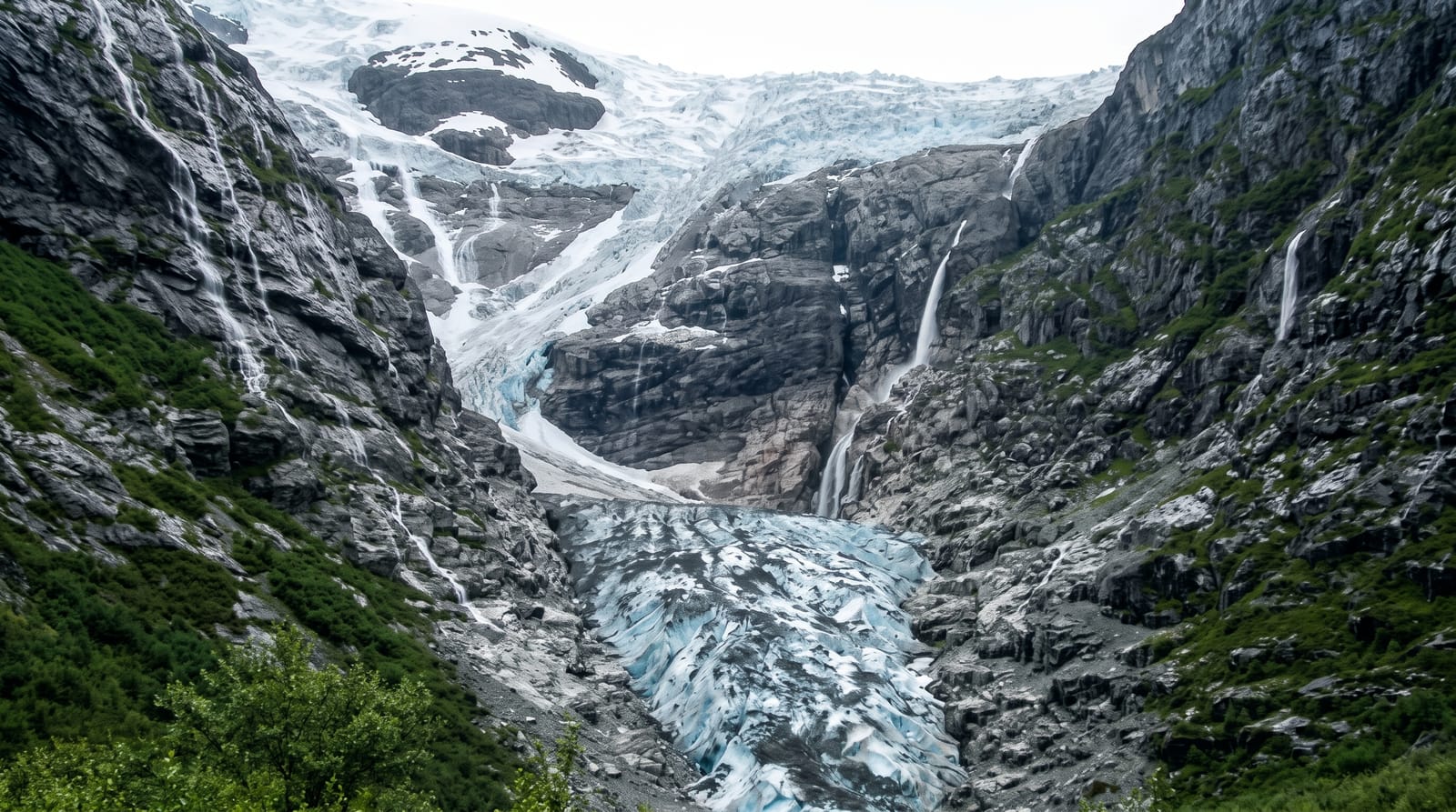
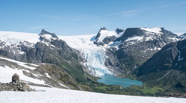
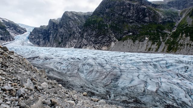
Nigardsbreen is a spectacular blue arm of the Jostedalsbreen ice cap reaching down the Jostedalen valley to a milky lake. A small boat ferries visitors across the lake to a trail beneath the ice, and guided groups rope up to walk onto the glacier itself, crampons crunching on ancient blue ice.
Background
The glacier sits in Luster Municipality, some 30 kilometres north of Gaupne, just west of the Jostedøla river. Its name, the Nigard glacier, records a disaster: in the cold first half of the 18th century the ice pushed forward about 4 kilometres between 1700 and 1748, burying nine farms, ni gårde in Danish. By 1748 it covered about 48 square kilometres. The Breheimsenteret museum stands 11 kilometres to the south in the village of Jostedal, and besides the boat across Nigardsbrevatnet a bus also takes visitors to the glacier.
Source: Wikipedia, "Nigardsbreen"
What you'll find
- The blue ice tongue - the vivid blue glacier reaching down the valley.
- The lake boat - the little ferry across the meltwater lake to the trailhead.
- Guided ice walks - roped trips onto the glacier with a guide.
- The glacier centre - the visitor centre on the changing ice.
When to go
Summer, when the boat runs and guided walks are offered; the warm months are the only sensible season on the ice. Book guided walks ahead in peak weeks.
What to expect
Reaching the ice involves a boat, a walk and, to go onto the glacier, a paid guided trip with equipment - it is not a drive-up view. The glacier is retreating, so it changes year on year. It is deep in a side valley, so it takes real driving to reach.
Nearby
The Jostedalen valley and the Sognefjord frame it; Lom and Jotunheimen lie over the mountains.
Key facts
Source: Wikidata, item Q1781997, read on 18 October 2026.
What to pack for Nigardsbreen
Chosen from what this place is for. Tap a kit for the full checklist.
- Broken-in walking shoes or boots - Grip and ankle support matter more than looks; never hike in brand-new boots. Find on Amazon
- Warm base layers - Merino or synthetic against the skin - never cotton, which chills when damp. Find on Amazon
- Layers + a waterproof shell - Mountain weather turns fast; a packable rain jacket saves the day. Find on Amazon
- An insulated + windproof jacket - A down or synthetic layer under a hard shell handles most cold. Find on Amazon
Some links on this page are Amazon affiliate links - if you buy through them we may earn a small commission at no extra cost to you.
All packing kitsPlan your trip
Where to start if Nigardsbreen is going on the list.
Booking links on this page are affiliate links - if you book through them we may earn a small commission at no extra cost to you. It never changes what we write about a place.
Opening times, ticket prices and seasonal closures change - check the official source before you go: official site.