Kjenndalsbreen
A glacier tongue at the head of Lovatnet, reachable by a short walk from a road that ends at the ice.
Updated 4 September 2026
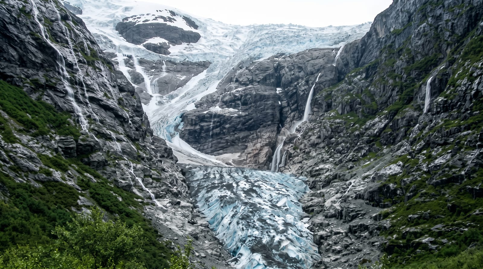
AI illustration
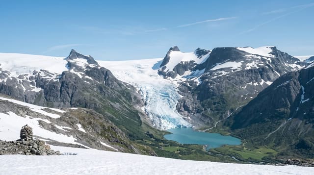
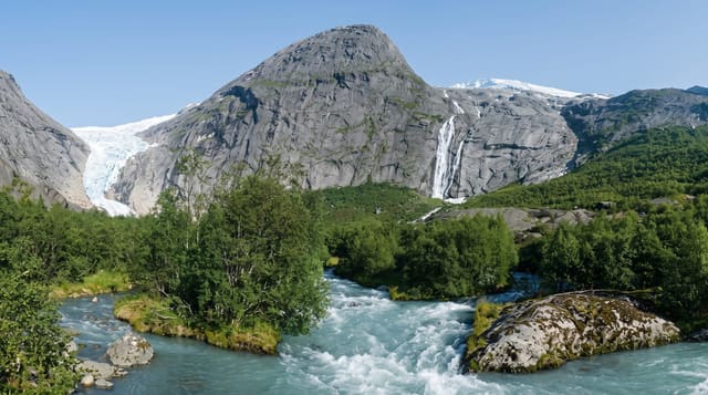
Kjenndalsbreen descends from the Jostedalsbreen ice cap into the valley at the head of Lovatnet, and a toll road runs along the lake to a car park below it, from which a marked path of about twenty to thirty minutes reaches a viewpoint at the glacier's foot beside a meltwater river and waterfall. The ice front is blue where it has calved, streaked with dark bands of rock debris, and the amphitheatre around it is bare and recently uncovered, showing how far the glacier has pulled back within living memory. A cafe operates at the car park in season, and boat trips run up Lovatnet from Sande to connect with the walk. The valley holds snow late and the path can be wet.
The landscape
- The ice front - a blue calving face streaked with rock debris.
- The meltwater river - the outflow and waterfall below the glacier.
- The bare amphitheatre - ground uncovered by recent glacier retreat.
- The approach walk - a marked path over moraine from the car park.
When to go
June to September, when the toll road is open and the path clear of snow; earlier the valley is often still blocked. Clear weather matters, as low cloud hides the front entirely.
Practical notes
Going onto or under the ice is dangerous and prohibited; blocks fall and the front is unstable. The toll road is narrow, with a fee and limited parking. The glacier is well back from where older photographs show it, and the walk is longer than some guides state.
Nearby
Lovatnet runs the length of the valley below; Briksdalsbreen and the Loen Skylift are nearby.
Key facts
Source: Wikidata, item Q3219709, read on 18 October 2026.
What to pack for Kjenndalsbreen
Chosen from what this place is for. Tap a kit for the full checklist.
- Broken-in walking shoes or boots - Grip and ankle support matter more than looks; never hike in brand-new boots. Find on Amazon
- Warm base layers - Merino or synthetic against the skin - never cotton, which chills when damp. Find on Amazon
- Layers + a waterproof shell - Mountain weather turns fast; a packable rain jacket saves the day. Find on Amazon
- An insulated + windproof jacket - A down or synthetic layer under a hard shell handles most cold. Find on Amazon
Some links on this page are Amazon affiliate links - if you buy through them we may earn a small commission at no extra cost to you.
All packing kitsPlan your trip
Where to start if Kjenndalsbreen is going on the list.
Booking links on this page are affiliate links - if you book through them we may earn a small commission at no extra cost to you. It never changes what we write about a place.
Opening times, ticket prices and seasonal closures change - check the official source before you go: official site.