Santo Antão
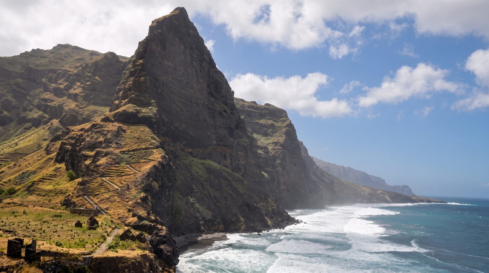
A hiker's dream of green ravines - the most spectacularly beautiful island of Cape Verde, a dramatic world of soaring peaks, plunging valleys terraced with crops and ancient cobbled paths winding through lush, vertiginous scenery.
Updated 19 October 2026
AI illustration
Santo Antao, the northwesternmost and most spectacular island of Cape Verde, is excellent for hikers and lovers of dramatic scenery, a rugged world of soaring volcanic peaks, deep plunging valleys and knife-edge ridges. In stark contrast to the arid beach islands, its lush, well-watered northern side is a vertiginous green landscape of ravines, or ribeiras, intricately terraced with sugar cane, banana and coffee, and threaded by ancient cobbled paths that once linked its villages. Walking these vertigo-inducing trails, from cloud-wreathed heights down to the coast, is among the finest hiking experiences in the Atlantic.
History
Diogo Afonso found the island in 1461 or 1462, together with São Vicente and São Nicolau, and settlement began in the first half of the 16th century around Ribeira Grande, the main town, which in 1732 became the seat of the island's municipality; Ponta do Sol, Pombas and Porto Novo grew up in the 19th century (Wikipedia, Santo Antão, Cape Verde).
Highlights
- The cobbled trails - the ancient paths through the ribeiras.
- The terraced valleys - the lush green cultivated ravines.
- The Cova crater - the crater-floor farms and rim viewpoints.
- The coastal villages - the settlements clinging to the cliffs.
When to go
September to June, for the best hiking weather, with the landscape greenest after any rains; the island is reached by a short, sometimes choppy ferry from Sao Vicente. The trails range from gentle to seriously vertiginous, and a local guide adds safety, insight and access to the finest routes.
Good to know
Santo Antao is all about hiking and dramatic scenery rather than beaches or resorts, and some of its trails are vertiginous, hugging sheer cliffs, so a head for heights and reasonable fitness help; facilities are simple and the ferry can be rough.
Nearby
The island of Sao Vicente and its town of Mindelo are across the channel.
Key facts
Source: Wikidata, item Q112232, read on 18 October 2026.
What to pack for Santo Antão
Chosen from what this place is for. Tap a kit for the full checklist.
- Broken-in walking shoes or boots - Grip and ankle support matter more than looks; never hike in brand-new boots. Find on Amazon
- Reef-safe sunscreen - High SPF that will not bleach the coral you are swimming over. Find on Amazon
- Loose, light, long clothing - Covering up beats bare skin in the desert - and locals dress this way for a reason. Find on Amazon
- Layers + a waterproof shell - Mountain weather turns fast; a packable rain jacket saves the day. Find on Amazon
Some links on this page are Amazon affiliate links - if you buy through them we may earn a small commission at no extra cost to you.
All packing kitsPlan your trip
Where to start if Santo Antão is going on the list.
Booking links on this page are affiliate links - if you book through them we may earn a small commission at no extra cost to you. It never changes what we write about a place.
Opening times, ticket prices and seasonal closures change - check the official source before you go: official site.