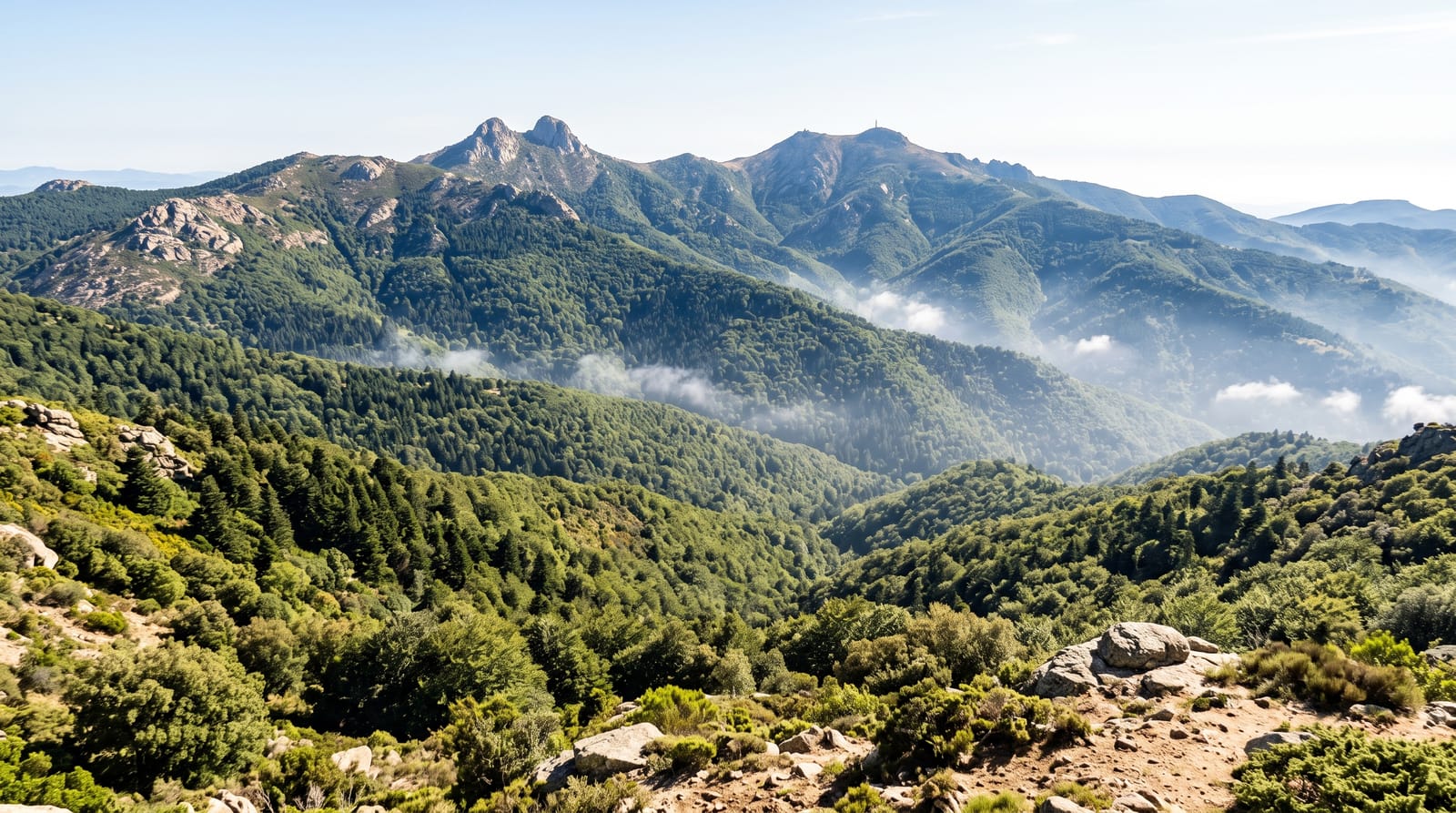
Peñas Blancas Massif
A wall of white cliffs hung with waterfalls in the northern cloud forest, the wettest and least visited highland in Nicaragua.
Updated 31 August 2026
The Peñas Blancas massif rises to around 1,745 metres at the eastern edge of the northern highlands, a plateau ending in pale cliffs several hundred metres high down which waterfalls drop in ribbons after rain. It is part of the Bosawás biosphere buffer and carries genuine cloud forest, wet and mossy, with quetzals, bellbirds, howler monkeys and a strong amphibian list. Because it catches the moisture coming off the Caribbean lowlands it is among the wettest places in the country, which keeps the forest intact and the visitor numbers low. Community guides from the villages below run walks to the cliff base, to waterfalls and up onto the plateau, and simple lodging is arranged with families.
What you'll find
- The white cliffs - the massif wall rising above the lowland forest.
- Ribbon waterfalls - drops down the cliff face after rain.
- Cloud forest - mossy wet woodland on the plateau.
- Quetzals and bellbirds - the highland birds of the reserve.
When to go
December to April is the least wet, though rain falls in most months and is what makes the place. Waterfalls are strongest from the end of the rains into January. Quetzal breeding runs from March.
Practical notes
It rains constantly and the trails are deep mud; boots matter. Access roads from Jinotega are rough and slow. Accommodation is basic family lodging with no hot water. Guides are compulsory and Spanish is needed. Leeches and insects are common.
Nearby
Jinotega lies west; Bosawás extends north and east.
What to pack for Peñas Blancas Massif
Chosen from what this place is for. Tap a kit for the full checklist.
- Broken-in walking shoes or boots - Grip and ankle support matter more than looks; never hike in brand-new boots. Find on Amazon
- Layers + a waterproof shell - Mountain weather turns fast; a packable rain jacket saves the day. Find on Amazon
- Daypack with rain cover - 20-30 litres holds water, snacks, layers and a first-aid kit. Find on Amazon
- Offline maps + a power bank - Download the trail before you lose signal; carry backup charge. Find on Amazon
Some links on this page are Amazon affiliate links - if you buy through them we may earn a small commission at no extra cost to you.
All packing kitsPlan your trip
Where to start if Peñas Blancas Massif is going on the list.
Booking links on this page are affiliate links - if you book through them we may earn a small commission at no extra cost to you. It never changes what we write about a place.
Opening times, ticket prices and seasonal closures change - check the official source before you go: official site.