Adrar des Ifoghas
A granite massif in Mali's far northeast, eroded into domes and boulder fields.
Updated 3 September 2026
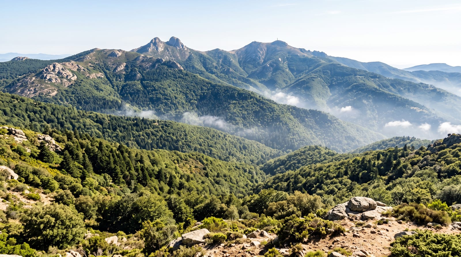
The Adrar des Ifoghas is a low granite massif covering a large area of Mali's far northeast and extending into Algeria, weathered over an immense span into rounded domes, tors and fields of boulders separated by sandy valleys, with pools that hold water long after the rains. It is Tuareg country, grazed rather than settled, and rock engravings and paintings of cattle and hunters occur through the valleys.
What's there
- The granite domes - rounded tors and boulder fields across the massif.
- The gueltas - the rock pools that hold water into the dry season.
- The rock art - engravings and paintings of cattle and hunters in the valleys.
- The Tuareg country - grazing land rather than settled ground.
When to go
November to February is the cool season and the only practical window. March to May is extremely hot. The rains are brief and fall around August.
Good to know
This is remote desert country with no infrastructure, fuel or water supply; travel requires a proper expedition with local guides. Rock art sites are unmarked. Reaching the region at all requires arrangements made well in advance.
Nearby
Essouk-Tadmakka is nearby, and Kidal is at the massif's edge.
Key facts
Source: Wikidata, item Q366665, read on 18 October 2026.
What to pack for Adrar des Ifoghas
Chosen from what this place is for. Tap a kit for the full checklist.
- Broken-in walking shoes or boots - Grip and ankle support matter more than looks; never hike in brand-new boots. Find on Amazon
- Loose, light, long clothing - Covering up beats bare skin in the desert - and locals dress this way for a reason. Find on Amazon
- Shelter suited to the place - Tent, tarp or hut booking - match it to the terrain and rules. Find on Amazon
- Layers + a waterproof shell - Mountain weather turns fast; a packable rain jacket saves the day. Find on Amazon
Some links on this page are Amazon affiliate links - if you buy through them we may earn a small commission at no extra cost to you.
All packing kitsPlan your trip
Where to start if Adrar des Ifoghas is going on the list.
Booking links on this page are affiliate links - if you book through them we may earn a small commission at no extra cost to you. It never changes what we write about a place.
Opening times, ticket prices and seasonal closures change - check the official source before you go: official site.