Montagne des Français
A limestone massif of dry forest, caves and old fortifications with the best overview of Diego Suarez bay.
Updated 21 October 2026
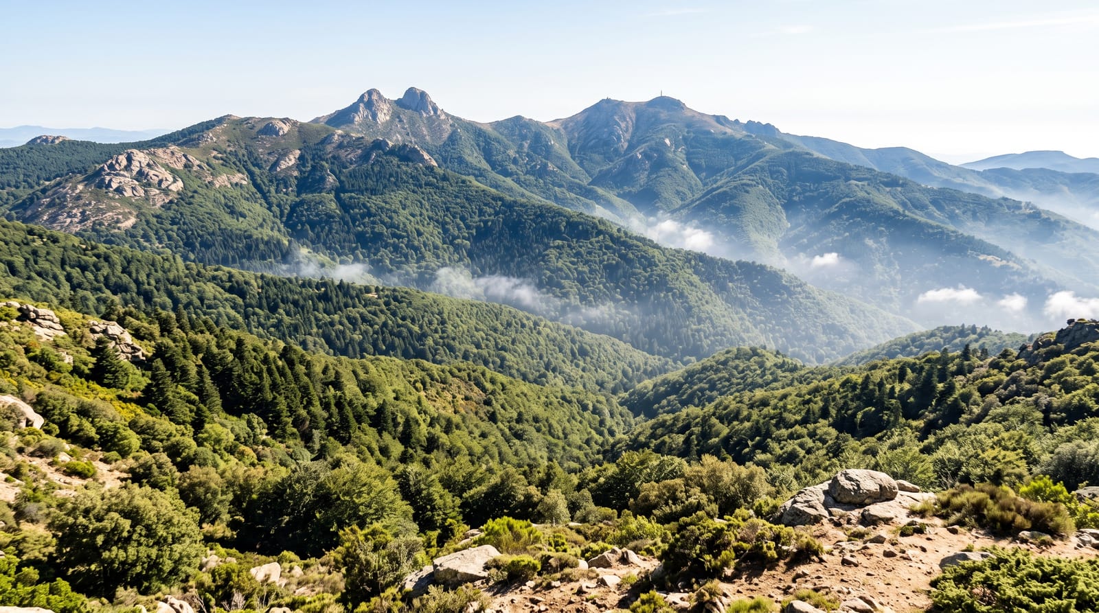
Montagne des Français rises to around 425 metres immediately east of Diego Suarez, a block of limestone covered in dry deciduous forest with baobabs, pachypodiums and euphorbias growing straight out of the rock. Trails climb through caves and small tsingy formations to viewpoints over one of the largest natural harbours in the world, with the bay, the Sugarloaf islet and the town spread out below. The massif carries the remains of nineteenth-century fortifications and later military structures, half-swallowed by vegetation. Crowned lemurs and a good list of reptiles live in the reserve, and the walking is short and steep rather than long. It is the standard half-day outing from town and can be combined with Ramena.
The landscape
- The bay panorama - Diego Suarez harbour and the Sugarloaf from above.
- Dry forest botany - baobabs and pachypodiums rooted in bare limestone.
- Caves and small tsingy - hollows and blades in the rock.
- Overgrown fortifications - old military structures in the scrub.
When to go
April to November for dry trails and clearer air. Early morning avoids the heat, which is severe on exposed limestone by midday. Views are best in the morning before haze builds.
Good to know
The climb is steep and rocky with poor footing on limestone. There is little shade and no water on the route. Trails are lightly marked and a guide is genuinely useful. The military ruins are fragmentary and unexplained on site.
Nearby
Ramena and the Emerald Sea are north; Diego Suarez is west.
Key facts
Source: Wikidata, item Q6904031, read on 18 October 2026.
What to pack for Montagne des Français
Chosen from what this place is for. Tap a kit for the full checklist.
- Broken-in walking shoes or boots - Grip and ankle support matter more than looks; never hike in brand-new boots. Find on Amazon
- Head torch + spare batteries - Hands-free light is essential; caves are truly dark. Find on Amazon
- Binoculars - The single best wildlife tool - even a compact pair transforms a sighting. Find on Amazon
- Layers + a waterproof shell - Mountain weather turns fast; a packable rain jacket saves the day. Find on Amazon
Some links on this page are Amazon affiliate links - if you buy through them we may earn a small commission at no extra cost to you.
All packing kitsPlan your trip
Where to start if Montagne des Français is going on the list.
Booking links on this page are affiliate links - if you book through them we may earn a small commission at no extra cost to you. It never changes what we write about a place.
Opening times, ticket prices and seasonal closures change - check the official source before you go: official site.