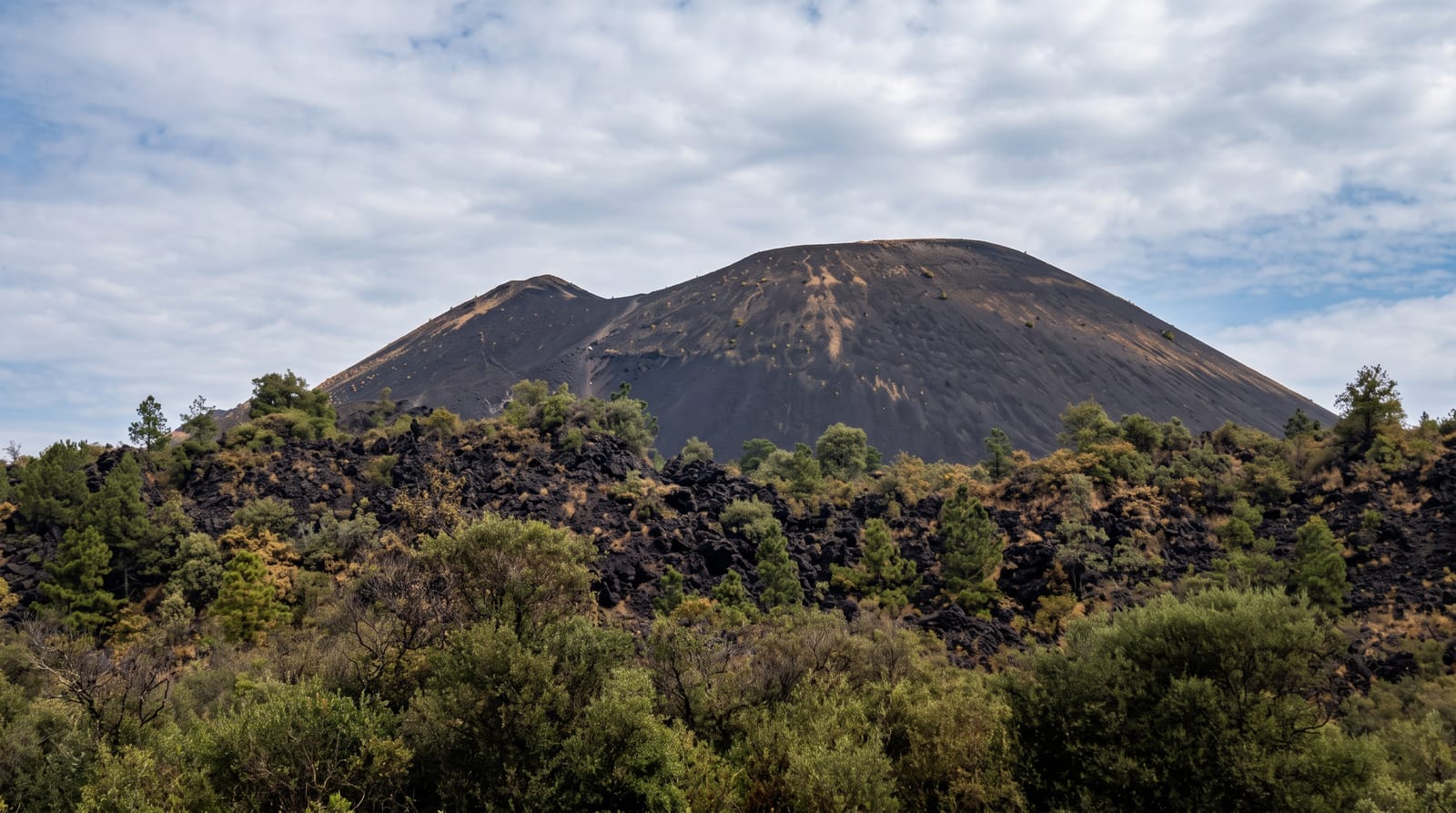
Cosigüina Volcano
A crater lake in a decapitated cone at Nicaragua's northwestern tip, looking across the Gulf of Fonseca to two countries.
Updated 31 August 2026
Cosigüina blew itself apart in January 1835 in one of the largest eruptions recorded in the Americas, heard as far as Jamaica and Bogotá and darkening the sky for days, and what it left is a truncated cone with a crater around two kilometres across holding a green sulphurous lake several hundred metres below the rim. The reserve around it protects dry tropical forest with scarlet macaws, which have a stronghold here. The climb takes two to three hours through forest and scrub to the rim, and from the top the Gulf of Fonseca opens out with the coasts of Honduras and El Salvador across the water. It is remote, at the far northwestern tip of the country, and sees few visitors.
What's there
- The crater lake - green water far below the rim of the blown-out cone.
- The Gulf of Fonseca - three coastlines visible across the water.
- Scarlet macaws - one of the country's main populations in the dry forest.
- Dry tropical forest - the reserve vegetation on the approach.
When to go
December to April for the trail and clear views across the gulf. Mornings are cooler and clearer. The rainy season makes the approach roads difficult and the trail slippery.
What to expect
Getting to the trailhead is a long rough drive from Chinandega. The climb is hot with limited shade. Haze often obscures the gulf view. Facilities are none and a local guide is needed to find the route. Macaw sightings need luck and early starts.
Nearby
Potosí is the access village; Chinandega lies southeast.
What to pack for Cosigüina Volcano
Chosen from what this place is for. Tap a kit for the full checklist.
- Broken-in walking shoes or boots - Grip and ankle support matter more than looks; never hike in brand-new boots. Find on Amazon
- Strong insect repellent - DEET or picaridin; the jungle is where bites and disease risk are highest. Find on Amazon
- Layers + a waterproof shell - Mountain weather turns fast; a packable rain jacket saves the day. Find on Amazon
- Long, light, quick-dry clothing - Covers skin from insects and sun without cooking you in the humidity. Find on Amazon
Some links on this page are Amazon affiliate links - if you buy through them we may earn a small commission at no extra cost to you.
All packing kitsPlan your trip
Where to start if Cosigüina Volcano is going on the list.
Booking links on this page are affiliate links - if you book through them we may earn a small commission at no extra cost to you. It never changes what we write about a place.
Opening times, ticket prices and seasonal closures change - check the official source before you go: official site.