Belham Valley
A valley filled by volcanic mudflows, its golf course and houses under the deposit.
Updated 3 September 2026
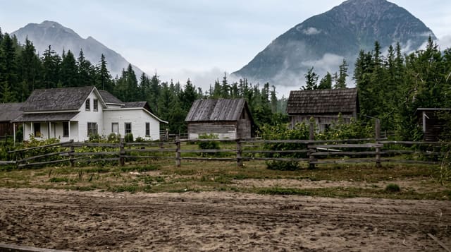
The Belham valley runs down the western side of Montserrat from the volcano to the sea, and lahars, volcanic mudflows carrying ash and rock down after rain, have filled it repeatedly since the eruption began. The valley floor rose by many metres. A golf course, a bridge and houses are under the deposit, with roofs showing through in places, and the road across is regraded whenever a new flow comes down.
What's there
- The filled valley floor - ground raised many metres by mudflow deposit.
- The buried structures - roofs and walls showing through the fill.
- The crossing - a road regraded after each new flow.
- The lahar path - the route material takes off the mountain after rain.
When to go
December to April is the dry season and flows are less likely. The valley must not be crossed during or after heavy rain. Access follows the current hazard level.
Things to know
Lahars come down this valley with little warning after rain and the crossing is genuinely dangerous at those times. Access depends on the hazard level in force, which changes. Follow local direction rather than a map.
Nearby
Woodlands is north, and Garibaldi Hill overlooks the valley.
What to pack for Belham Valley
Chosen from what this place is for. Tap a kit for the full checklist.
- Broken-in walking shoes or boots - Grip and ankle support matter more than looks; never hike in brand-new boots. Find on Amazon
- Layers + a waterproof shell - Mountain weather turns fast; a packable rain jacket saves the day. Find on Amazon
- Daypack with rain cover - 20-30 litres holds water, snacks, layers and a first-aid kit. Find on Amazon
- Offline maps + a power bank - Download the trail before you lose signal; carry backup charge. Find on Amazon
Some links on this page are Amazon affiliate links - if you buy through them we may earn a small commission at no extra cost to you.
All packing kitsPlan your trip
Where to start if Belham Valley is going on the list.
Booking links on this page are affiliate links - if you book through them we may earn a small commission at no extra cost to you. It never changes what we write about a place.
Opening times, ticket prices and seasonal closures change - check the official source before you go: official site.