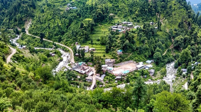
Bella Coola Valley
A valley reached by a road that drops 1,500 metres in an unpaved series of switchbacks called the Hill.
Updated 4 September 2026

AI illustration
Highway 20 crosses the Chilcotin plateau and then has to get down to sea level, which it does on the Hill: about a twenty kilometre unpaved descent with grades to eighteen per cent and switchbacks, built by local residents in 1953 after the province said it could not be done. The valley below holds the Bella Coola River, one of the highest concentrations of grizzly bears in North America, which gather in autumn for the salmon; viewing is done from platforms and drift boats with licensed operators. Alexander Mackenzie reached the Pacific here in 1793, and a rock records it. The Nuxalk Nation has lived in the valley for thousands of years.
Highlights
- The Hill - an unpaved 1,500-metre descent built by residents in 1953.
- The grizzly gathering - bears on the river during the autumn salmon run.
- The Mackenzie rock - where the first crossing of North America reached the sea.
- The Nuxalk community - the nation whose territory the valley is.
When to go
August to October for bears and salmon; the valley is wet and quiet the rest of the year. The Hill is passable year-round in good conditions but is serious in snow or rain.
Things to know
The Hill frightens many drivers and is not suitable for large RVs or trailers. The drive from Williams Lake is a full day. Bear viewing requires a licensed operator and books out in September.
Nearby
Tweedsmuir park adjoins; Chilko Lake lies southeast.
What to pack for Bella Coola Valley
Chosen from what this place is for. Tap a kit for the full checklist.
- Broken-in walking shoes or boots - Grip and ankle support matter more than looks; never hike in brand-new boots. Find on Amazon
- Travel rod + reel - A packable multi-piece rod fits in a case and covers most holiday fishing. Find on Amazon
- Warm base layers - Merino or synthetic against the skin - never cotton, which chills when damp. Find on Amazon
- Layers + a waterproof shell - Mountain weather turns fast; a packable rain jacket saves the day. Find on Amazon
Some links on this page are Amazon affiliate links - if you buy through them we may earn a small commission at no extra cost to you.
All packing kitsPlan your trip
Where to start if Bella Coola Valley is going on the list.
Booking links on this page are affiliate links - if you book through them we may earn a small commission at no extra cost to you. It never changes what we write about a place.
Opening times, ticket prices and seasonal closures change - check the official source before you go: official site.