Chilko Lake
The largest high-elevation freshwater lake in Canada, turquoise, and reached by hours of gravel road.
Updated 19 October 2026

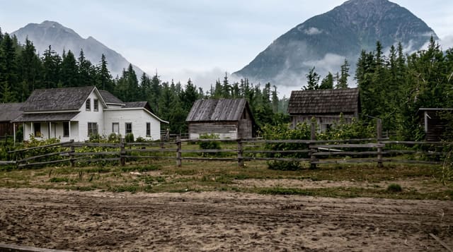
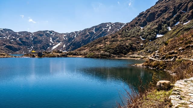
AI illustration
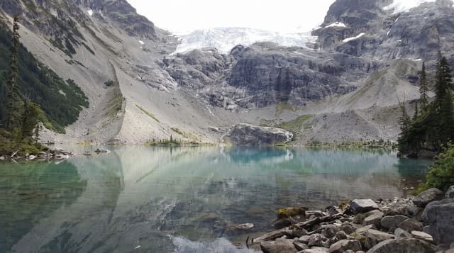
Chilko Lake lies at about eleven hundred and seventy metres against the eastern wall of the Coast Mountains, roughly sixty-five kilometres long and the largest natural high-elevation freshwater lake in Canada. The colour is glacial, a hard turquoise, and the water is cold enough that swimming is a brief business. Ts'yl-os Provincial Park protects it, co-managed with the Xeni Gwet'in, whose name for the mountain above gives the park its title. The Chilko River pouring out of the lake carries one of the largest sockeye runs on the Fraser system and draws grizzlies in late summer, and the river below is well known for whitewater.
History
The Xeni Gwet'in, a Tsilhqot'in people, live around the lake, and the country near it, above all the Brittany Triangle between the Chilko and Taseko rivers, holds some of the last of the wild horse herds that were once numerous in the Chilcotin. In the 1950s the lake and river were passed over as a hydropower source for Alcan because of the salmon, later plans to divert the Taseko Lakes into it were dropped once both lakes became a provincial park, and on 11 March 2019 the province, working with the Tsilhqot'in National Government, officially renamed it Tŝilhqox Biny (Wikipedia, Chilko Lake).
The landscape
- The turquoise water - a glacial lake sixty-five kilometres long.
- The Coast Mountain wall - peaks rising directly from the western shore.
- The sockeye run and bears - grizzlies working the Chilko River in autumn.
- The Xeni Gwet'in country - a park co-managed with the local First Nation.
When to go
July to September; roads are difficult and services closed outside that. Bears concentrate on the river in late August and September. Winter access is essentially impossible for visitors.
What to expect
The drive is several hours of rough gravel with no fuel or services for long stretches, and a spare tyre matters. There is no cell coverage. Accommodation is limited to a few lodges that book ahead.
Nearby
Farwell Canyon lies east; Bella Coola is northwest over the mountains.
Key facts
Source: Wikidata, item Q316421, read on 18 October 2026.
What to pack for Chilko Lake
Chosen from what this place is for. Tap a kit for the full checklist.
- Broken-in walking shoes or boots - Grip and ankle support matter more than looks; never hike in brand-new boots. Find on Amazon
- Reef-safe sunscreen - High SPF that will not bleach the coral you are swimming over. Find on Amazon
- Quick-dry clothing - Board shorts or synthetics that shrug off spray and dry fast. Find on Amazon
- Layers + a waterproof shell - Mountain weather turns fast; a packable rain jacket saves the day. Find on Amazon
Some links on this page are Amazon affiliate links - if you buy through them we may earn a small commission at no extra cost to you.
All packing kitsPlan your trip
Where to start if Chilko Lake is going on the list.
Booking links on this page are affiliate links - if you book through them we may earn a small commission at no extra cost to you. It never changes what we write about a place.
Opening times, ticket prices and seasonal closures change - check the official source before you go: official site.