Mont Benara
Mayotte's rooftop ridge - a 660-metre forest summit walked through lemur territory and giant baobab country for double-lagoon views.
Updated 7 August 2026
AI illustration
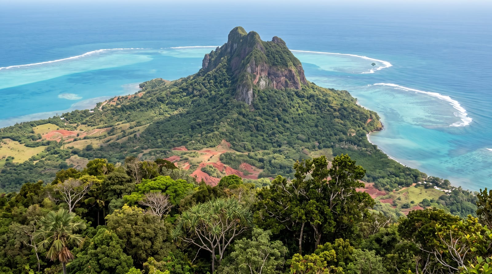
Grande-Terre's spine peaks at Mont Benara, 660 metres of forest ridge that carries the island's best walking: paths climb through dry woodland where makis - Mayotte's brown lemurs, brought from Madagascar long ago - crash the canopy in vocal troops, past padza badlands glowing red where erosion stripped the laterite, to a summit ridge whose clearings frame the lagoon on both coasts at once, reef lines drawn white around the whole island. The mountain is modest by neighbouring-island standards and generous in return: half a day, real forest, guaranteed geography.
What you'll find
- The maki troops - brown lemurs working the canopy overhead.
- The double-lagoon summit - both coasts' turquoise from the ridge.
- The padza badlands - red laterite moonscapes en route.
- The dry forest - baobabs and kapoks on the lower flanks.
When to go
May to October keeps the trails dry and the summit views haze-light; mornings are lemur-active and cool. The wet season turns paths to red soap.
Things to know
Trails are informally marked - a local guide or good GPS track saves wandering, and the final ridge is steep in bursts. Carry all water. Lemurs are wild: no feeding, however photogenic the begging gets at village edges.
Nearby
The Combani hills' ylang country, Mamoudzou and the southern beaches.
What to pack for Mont Benara
Chosen from what this place is for. Tap a kit for the full checklist.
- Broken-in walking shoes or boots - Grip and ankle support matter more than looks; never hike in brand-new boots. Find on Amazon
- Reef-safe sunscreen - High SPF that will not bleach the coral you are swimming over. Find on Amazon
- Binoculars - The single best wildlife tool - even a compact pair transforms a sighting. Find on Amazon
- Layers for big temperature swings - Warm sun by day, near-freezing at night, even near the equator. Find on Amazon
Some links on this page are Amazon affiliate links - if you buy through them we may earn a small commission at no extra cost to you.
All packing kitsPlan your trip
Where to start if Mont Benara is going on the list.
Booking links on this page are affiliate links - if you book through them we may earn a small commission at no extra cost to you. It never changes what we write about a place.
Opening times, ticket prices and seasonal closures change - check the official source before you go: official site.