Route de la Trace
A winding rainforest road laid out by Jesuits, climbing north from Fort-de-France.
Updated 2 September 2026
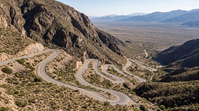
The Route de la Trace climbs from Fort-de-France through the rainforest to Morne-Rouge, following a line cut by Jesuits in the eighteenth century, and the road twists constantly beneath tree ferns, bamboo and canopy that closes overhead in stretches. It passes the Balata church and botanical garden, runs beneath the Pitons du Carbet and reaches the Deux-Choux junction where trails go off into the forest. It is the drive people remember from the island.
What's there
- The rainforest tunnel - canopy closing over the road in long stretches.
- The Jesuit line - the eighteenth-century route the modern road follows.
- The Pitons view - the Carbet peaks rising above the road on clear stretches.
- The trailheads - forest walks leaving the road at Deux-Choux and elsewhere.
When to go
December to April is drier with more clear views. Rain and mist sit on the road much of the year. Mornings are clearest before cloud builds.
Before you go
The road is narrow, steep and constantly winding, which is hard work and unpleasant for anyone prone to car sickness. Cloud closes the views most afternoons. Landslips close sections after heavy rain.
Nearby
Jardin de Balata is on the route, and the Pitons du Carbet rise beside it.
What to pack for Route de la Trace
Chosen from what this place is for. Tap a kit for the full checklist.
- Broken-in walking shoes or boots - Grip and ankle support matter more than looks; never hike in brand-new boots. Find on Amazon
- Strong insect repellent - DEET or picaridin; the jungle is where bites and disease risk are highest. Find on Amazon
- Layers + a waterproof shell - Mountain weather turns fast; a packable rain jacket saves the day. Find on Amazon
- Long, light, quick-dry clothing - Covers skin from insects and sun without cooking you in the humidity. Find on Amazon
Some links on this page are Amazon affiliate links - if you buy through them we may earn a small commission at no extra cost to you.
All packing kitsPlan your trip
Where to start if Route de la Trace is going on the list.
Booking links on this page are affiliate links - if you book through them we may earn a small commission at no extra cost to you. It never changes what we write about a place.
Opening times, ticket prices and seasonal closures change - check the official source before you go: official site.