Ruta de los Siete Lagos
A hundred-kilometre drive between Villa La Angostura and San Martín de los Andes, threading past lake after lake in Andean forest.
Updated 4 September 2026
AI illustration
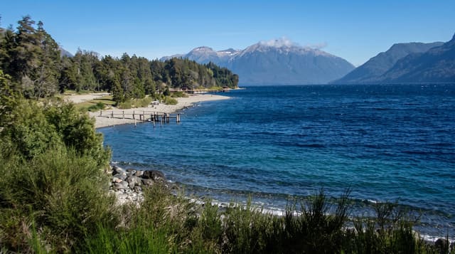
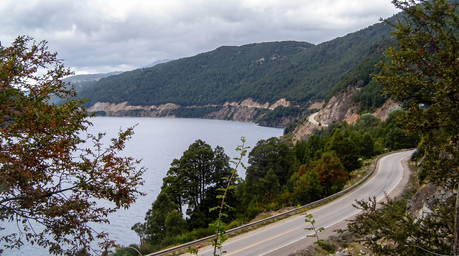
The Ruta de los Siete Lagos runs about a hundred and ten kilometres through Nahuel Huapi and Lanín national parks, and its name understates the case: more than seven lakes are visible from the road or its short side tracks, among them Correntoso, Espejo, Escondido, Villarino, Falkner, Machónico and Lácar, each set in southern beech forest with mountains behind. Viewpoints are frequent and signposted, some with short trails to beaches or waterfalls such as Cascada Vullignanco. The whole route is now paved, which has made it accessible to any vehicle and correspondingly busy in January. Cyclists ride it over two or three days, camping at lakeside sites along the way.
Highlights
- The lakes - Espejo, Correntoso, Falkner, Villarino and others from the road.
- The viewpoints - signposted miradors with short trails to shores and falls.
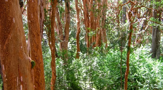
- The beech forest - dense southern forest of coihue and lenga along the route.
- The lakeside campsites - places to stop, swim and stay along the way.
When to go
November to April for the best weather and open campsites; January is busiest. Autumn in April brings colour to the beech woods. Winter driving is possible but snow and ice close sections at times.
Before you go
In peak summer the viewpoints are crowded and parking is tight. The road is winding with blind bends and cyclists, so it takes longer than the distance suggests. Weather can close in and hide the lakes entirely for a day.
Nearby
Villa La Angostura anchors the south; San Martín de los Andes the north.
Key facts
Source: Wikidata, item Q2522982, read on 18 October 2026.
What to pack for Ruta de los Siete Lagos
Chosen from what this place is for. Tap a kit for the full checklist.
- Reef-safe sunscreen - High SPF that will not bleach the coral you are swimming over. Find on Amazon
- Padded shorts - The one thing that makes a full day in the saddle bearable. Find on Amazon
- Warm base layers - Merino or synthetic against the skin - never cotton, which chills when damp. Find on Amazon
- Comfortable walking shoes - Sightseeing means kilometres of pavement and cobbles daily. Find on Amazon
Some links on this page are Amazon affiliate links - if you buy through them we may earn a small commission at no extra cost to you.
All packing kitsPlan your trip
Where to start if Ruta de los Siete Lagos is going on the list.
Booking links on this page are affiliate links - if you book through them we may earn a small commission at no extra cost to you. It never changes what we write about a place.
Opening times, ticket prices and seasonal closures change - check the official source before you go: official site.