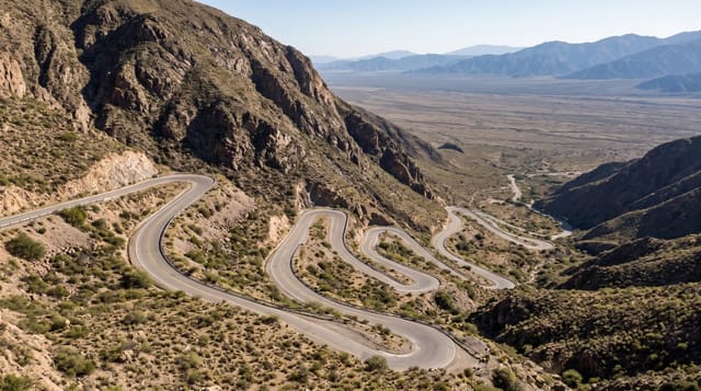
Route de la Traversee
The road across the rainforest spine of Basse-Terre, giving access to waterfalls and forest trails.
Updated 2 September 2026
The Route de la Traversée crosses the mountainous spine of Basse-Terre through the heart of the national park, climbing from the eastern coast through increasingly dense rainforest to a col at around six hundred metres and dropping to the west. Almost everything worth stopping for on this side of the island is off it: the Cascade aux Écrevisses, the Maison de la Forêt, the Parc des Mamelles and the trails up the two Mamelle peaks.
Highlights
- The rainforest - dense forest closing over the road along the climb.
- The Cascade aux Ecrevisses - the roadside waterfall on the eastern side.
- The Maison de la Foret - the park interpretation centre and trailhead.
- The Mamelle peaks - the two summits climbed from the col.
When to go
December to April is the driest, though it rains on this road in any month. Mornings are clearest. Landslides close it periodically.
Good to know
It rains here constantly and the forest is often in cloud. The road is narrow and winding with heavy traffic at weekends. Landslides close sections after storms.
Nearby
Cascade aux Ecrevisses is on the route, and Parc des Mamelles is at the col.
What to pack for Route de la Traversee
Chosen from what this place is for. Tap a kit for the full checklist.
- Broken-in walking shoes or boots - Grip and ankle support matter more than looks; never hike in brand-new boots. Find on Amazon
- Strong insect repellent - DEET or picaridin; the jungle is where bites and disease risk are highest. Find on Amazon
- Layers + a waterproof shell - Mountain weather turns fast; a packable rain jacket saves the day. Find on Amazon
- Long, light, quick-dry clothing - Covers skin from insects and sun without cooking you in the humidity. Find on Amazon
Some links on this page are Amazon affiliate links - if you buy through them we may earn a small commission at no extra cost to you.
All packing kitsPlan your trip
Where to start if Route de la Traversee is going on the list.
Booking links on this page are affiliate links - if you book through them we may earn a small commission at no extra cost to you. It never changes what we write about a place.
Opening times, ticket prices and seasonal closures change - check the official source before you go: official site.