Great Alpine Road
Australia's highest year-round sealed road, crossing the Victorian Alps from the Murray plains to the Gippsland coast.
Updated 4 September 2026
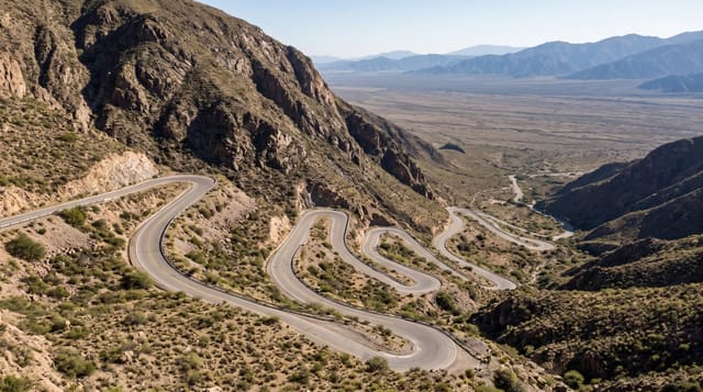
AI illustration
The Great Alpine Road runs about three hundred kilometres from Wangaratta on the northern plains, up the Ovens Valley through Bright and Harrietville, over Mount Hotham at around 1,840 metres, and down through Omeo to Bairnsdale and the Gippsland Lakes. It is the highest year-round sealed road in Australia, climbing from farmland and vineyards through tall mountain ash and snow gum forest to a ridge that runs above the treeline with drops on both sides. In winter the Hotham section requires wheel chains to be carried and the resort charges entry. Autumn colour in Bright and Harrietville, spring wildflowers on the tops and summer walking are the main draws.
What's there
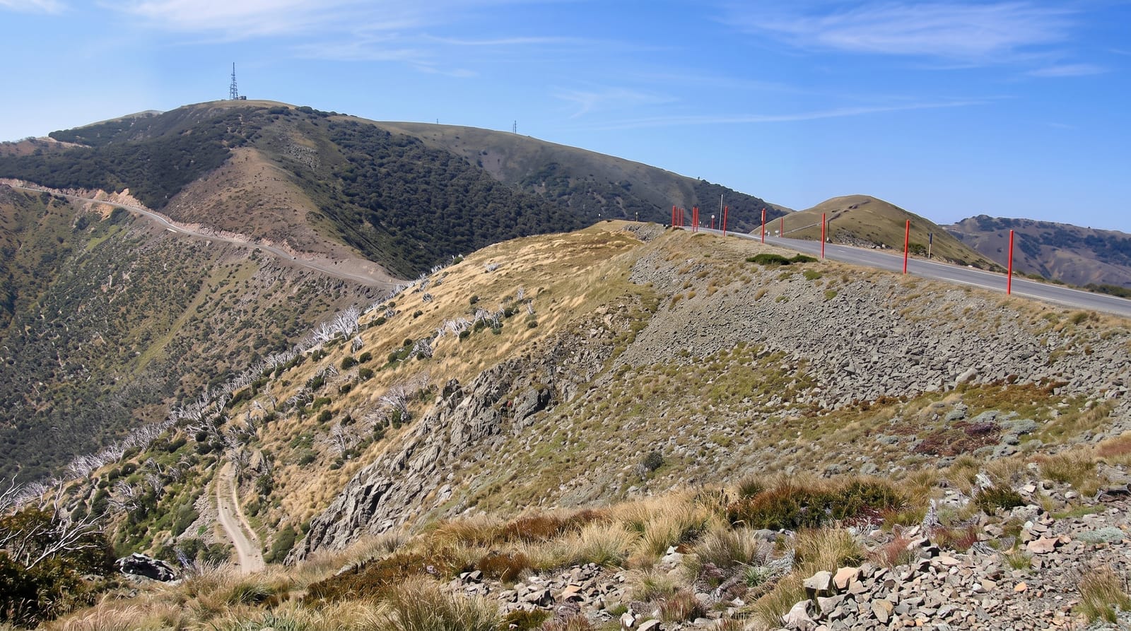
- The Hotham ridge - the road running along a high alpine spine above the treeline.
- The Ovens Valley - vineyards, orchards and deciduous colour around Bright.
- The snow gums - twisted alpine trees, many still bearing fire scars.
- The descent to Omeo - the drop into high plains cattle country.
When to go
November to April for driving without snow gear; the alpine section is often snow-covered from June to September, when chains must be carried and resort entry fees apply. Autumn colour peaks in Bright in late April and May.
Things to know
The alpine section is winding, with long stretches of no phone coverage and fuel far apart. Fog and snow can close it at short notice. Fire has repeatedly burnt the snow gum forest along the route, and the damage is visible.
Nearby
Bright and Mount Buffalo lie on the northern side; the Gippsland Lakes at the southern end.
What to pack for Great Alpine Road
Chosen from what this place is for. Tap a kit for the full checklist.
- Warm base layers - Merino or synthetic against the skin - never cotton, which chills when damp. Find on Amazon
- Comfortable walking shoes - Sightseeing means kilometres of pavement and cobbles daily. Find on Amazon
- An insulated + windproof jacket - A down or synthetic layer under a hard shell handles most cold. Find on Amazon
- A slim anti-theft daypack - Zips that close properly; keep it in front in crowds and on transit. Find on Amazon
Some links on this page are Amazon affiliate links - if you buy through them we may earn a small commission at no extra cost to you.
All packing kitsPlan your trip
Where to start if Great Alpine Road is going on the list.
Booking links on this page are affiliate links - if you book through them we may earn a small commission at no extra cost to you. It never changes what we write about a place.
Opening times, ticket prices and seasonal closures change - check the official source before you go: official site.