Alpine National Park
Victoria's largest park, covering the state's highest peaks, snow plains and the northern end of the Australian Alps Walking Track.
Updated 21 October 2026
AI illustration
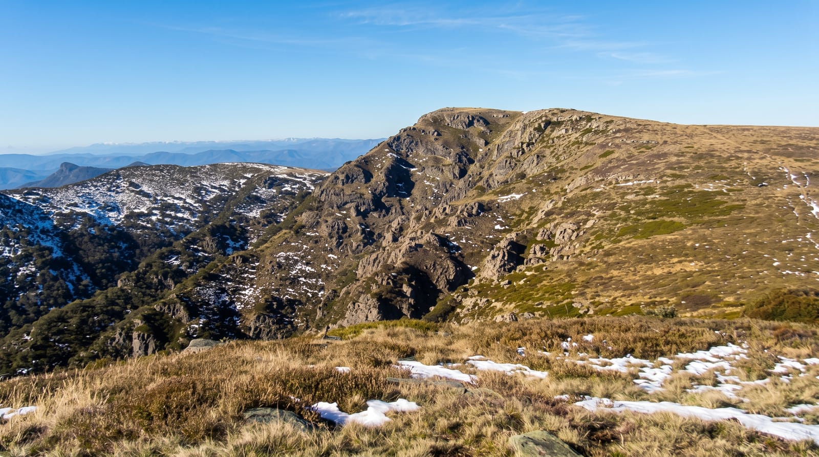
The Alpine National Park covers around six thousand square kilometres of the Victorian high country, taking in Mount Bogong at 1,986 metres, the state's highest, along with the Bogong High Plains, the Bluff, Mount Feathertop and the razorback ridges between them. It protects snow gum woodland, alpine herbfields, sphagnum bogs and the mountain cattlemen's huts that survive from a grazing era that ended in 2005. The Australian Alps Walking Track crosses it on the way from Walhalla to Canberra, and shorter classics include the Razorback to Feathertop and the circuit around Mount Bogong. Bushfires in 2003, 2006 and 2020 burnt large areas and killed much of the old snow gum forest.
Highlights
- Mount Bogong - Victoria's highest peak and its steep approach ridges.
- The Bogong High Plains - open snow plains, herbfields and cattlemen's huts.
- The Razorback - the ridge walk to Mount Feathertop.
- The fire-scarred snow gums - dead and regenerating forest across the tops.
When to go
December to March for walking, when the snow has gone and the wildflowers are out; June to September the high country is under snow and used for ski touring. Weather changes fast at altitude and snow can fall in any month.
Good to know
Many access roads are unsealed and closed seasonally, some from June to November. There is no phone coverage across most of the park. Exposure on the ridges is serious in summer storms. Fire damage to the snow gum forests is extensive and confronting.
Nearby
Falls Creek and Hotham are within the park; Bright and Omeo are the main base towns.
Key facts
Source: Wikidata, item Q1291186, read on 18 October 2026.
What to pack for Alpine National Park
Chosen from what this place is for. Tap a kit for the full checklist.
- Broken-in walking shoes or boots - Grip and ankle support matter more than looks; never hike in brand-new boots. Find on Amazon
- Binoculars - The single best wildlife tool - even a compact pair transforms a sighting. Find on Amazon
- Warm base layers - Merino or synthetic against the skin - never cotton, which chills when damp. Find on Amazon
- Shelter suited to the place - Tent, tarp or hut booking - match it to the terrain and rules. Find on Amazon
Some links on this page are Amazon affiliate links - if you buy through them we may earn a small commission at no extra cost to you.
All packing kitsPlan your trip
Where to start if Alpine National Park is going on the list.
Booking links on this page are affiliate links - if you book through them we may earn a small commission at no extra cost to you. It never changes what we write about a place.
Opening times, ticket prices and seasonal closures change - check the official source before you go: official site.