Route des Laves
A coastal road crossing black lava flows from successive eruptions of Piton de la Fournaise.
Updated 2 September 2026
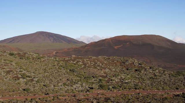
The southeastern coast road crosses the Grand Brûlé, the open flank down which Piton de la Fournaise sends its lava to the sea, and the tarmac has been cut and rebuilt repeatedly as flows have come across it. Dates are marked at the edge of each flow, so the drive passes 1977, 1986, 2004, 2007 and later eruptions in sequence, from bare black rock to older flows already being colonised by ferns and pioneer plants.
The landscape
- The dated flows - markers at each lava field showing the year it came down.
- The bare rock - recent flows still black and unvegetated.
- The colonisation - older flows being taken back by ferns and pioneer species.
- The sea entry points - where lava reached the coast and built new land.
When to go
Year round; the road is open except during eruptions reaching the coast, when it closes. Mornings are clearest. Eruptions draw very large crowds to the area.
Good to know
The road closes without notice when an eruption threatens it. Walking on the flows is on sharp lava that destroys footwear and cuts badly on a fall. There is no shade anywhere on the Grand Brule.
Nearby
Notre-Dame-des-Laves is north, and Anse des Cascades is beyond it.
Key facts
Source: Wikidata, item Q3444071, read on 18 October 2026.
What to pack for Route des Laves
Chosen from what this place is for. Tap a kit for the full checklist.
- Broken-in walking shoes or boots - Grip and ankle support matter more than looks; never hike in brand-new boots. Find on Amazon
- Layers + a waterproof shell - Mountain weather turns fast; a packable rain jacket saves the day. Find on Amazon
- Daypack with rain cover - 20-30 litres holds water, snacks, layers and a first-aid kit. Find on Amazon
- Offline maps + a power bank - Download the trail before you lose signal; carry backup charge. Find on Amazon
Some links on this page are Amazon affiliate links - if you buy through them we may earn a small commission at no extra cost to you.
All packing kitsPlan your trip
Where to start if Route des Laves is going on the list.
Booking links on this page are affiliate links - if you book through them we may earn a small commission at no extra cost to you. It never changes what we write about a place.
Opening times, ticket prices and seasonal closures change - check the official source before you go: official site.