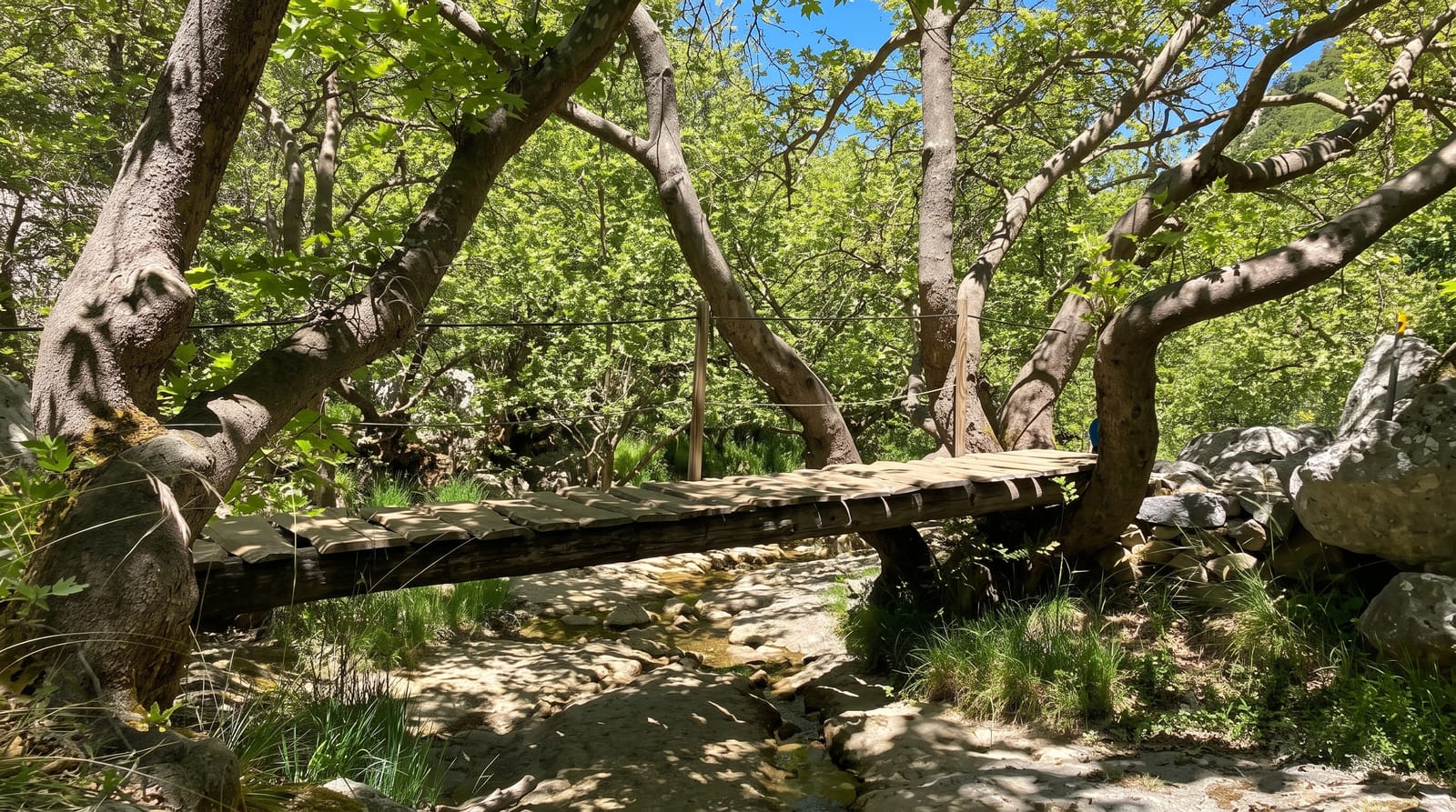
Trace des Jésuites
A rainforest trail across the central heights, following an eighteenth-century Jesuit route.
Updated 2 September 2026
The Trace des Jésuites runs for around six kilometres through rainforest between the Route de la Trace at Deux-Choux and the road towards Gros-Morne, following a line the Jesuits used to move between their estates. The forest is tall and wet, with tree ferns, mahogany and heliconia, and the trail crosses several streams. It takes three to four hours and is one of the more popular walks on the island, which means a fair amount of company at weekends.
What's there
- The rainforest - tall wet woodland with tree ferns and heliconia throughout.
- The Jesuit line - the route the order used between its estates.
- The stream crossings - several watercourses along the six kilometres.
- The forest floor - dense understorey and epiphytes along the whole route.
When to go
December to April is drier and the trail is less of a mudslide. Rain makes crossings difficult and the path treacherous. Weekends are busy.
Good to know
The trail is muddy in almost all conditions and boots are essential. It is a point-to-point route, so transport must be arranged at both ends. Stream crossings become dangerous after rain.
Nearby
The Route de la Trace runs to the western end, and Fonds-Saint-Denis is west.
What to pack for Trace des Jésuites
Chosen from what this place is for. Tap a kit for the full checklist.
- Broken-in walking shoes or boots - Grip and ankle support matter more than looks; never hike in brand-new boots. Find on Amazon
- Strong insect repellent - DEET or picaridin; the jungle is where bites and disease risk are highest. Find on Amazon
- Layers + a waterproof shell - Mountain weather turns fast; a packable rain jacket saves the day. Find on Amazon
- Long, light, quick-dry clothing - Covers skin from insects and sun without cooking you in the humidity. Find on Amazon
Some links on this page are Amazon affiliate links - if you buy through them we may earn a small commission at no extra cost to you.
All packing kitsPlan your trip
Where to start if Trace des Jésuites is going on the list.
Booking links on this page are affiliate links - if you book through them we may earn a small commission at no extra cost to you. It never changes what we write about a place.
Opening times, ticket prices and seasonal closures change - check the official source before you go: official site.