Sianok Canyon
A green fault valley at Bukittinggi on the Sumatran Fault, with a Japanese wartime tunnel system in its wall.
Updated 12 October 2026
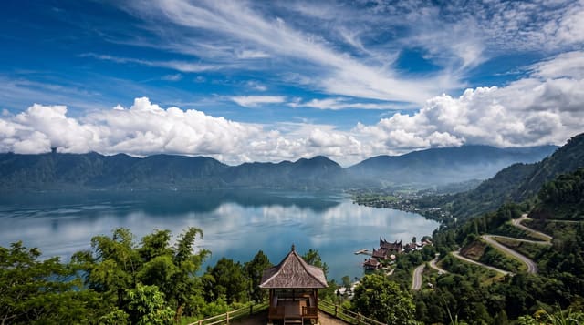
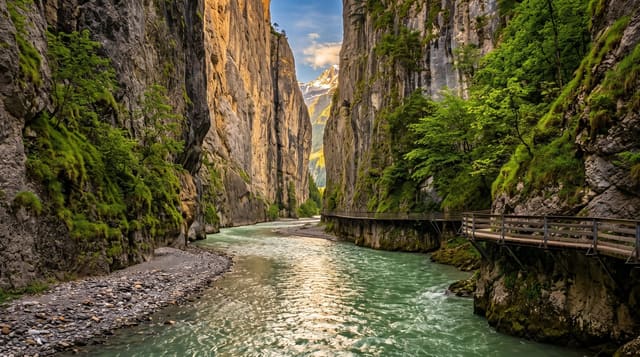
Ngarai Sianok runs for about fifteen kilometres past Bukittinggi, a valley a hundred metres or so deep with near-vertical walls and a flat green floor of paddy and river, and it is not a river-cut gorge - it is a rift on the Sumatran Fault, the strike-slip system that runs the length of the island and takes up the oblique component of the subduction offshore, so the valley is a tectonic feature you can stand on the edge of. Cut into the wall below the town are the Lubang Jepang, some 1.4 kilometres of tunnels dug by forced Indonesian labour under Japanese occupation from 1942 as a bunker and store, now partly open with the ammunition rooms, kitchens and ambush points shown. Bukittinggi above is the Minangkabau highland town with its clock tower and market.
What you'll find
- A tectonic rift valley - the Sumatran Fault opened in the ground, not river-cut.
- The Japanese tunnels - about 1.4 kilometres dug by forced labour from 1942.
- A green valley floor - paddy and river a hundred metres below the town.
- Bukittinggi above - the Minangkabau town on the rim.
When to go
All year; mornings before the cloud. Half a day.
Good to know
The tunnels are dim, damp and were dug by forced labour, many of whom died - the guides say so. Paths down into the canyon are steep. Viewpoints in town are crowded with vendors.
Nearby
Bukittinggi, Lake Maninjau and the Harau valley are all close.
Key facts
Source: Wikidata, item Q3869594, read on 18 October 2026.
What to pack for Sianok Canyon
Chosen from what this place is for. Tap a kit for the full checklist.
- Broken-in walking shoes or boots - Grip and ankle support matter more than looks; never hike in brand-new boots. Find on Amazon
- Layers + a waterproof shell - Mountain weather turns fast; a packable rain jacket saves the day. Find on Amazon
- Daypack with rain cover - 20-30 litres holds water, snacks, layers and a first-aid kit. Find on Amazon
- Offline maps + a power bank - Download the trail before you lose signal; carry backup charge. Find on Amazon
Some links on this page are Amazon affiliate links - if you buy through them we may earn a small commission at no extra cost to you.
All packing kitsPlan your trip
Where to start if Sianok Canyon is going on the list.
Booking links on this page are affiliate links - if you book through them we may earn a small commission at no extra cost to you. It never changes what we write about a place.
Opening times, ticket prices and seasonal closures change - check the official source before you go: official site.