Pangong Tso
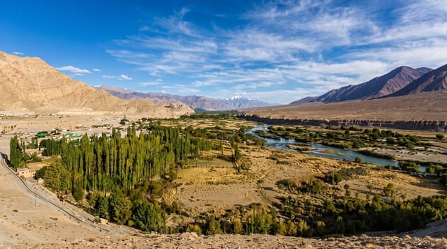
A long salt lake at over four thousand metres in eastern Ladakh, held between bare brown ridges with almost no vegetation.
Updated 19 October 2026

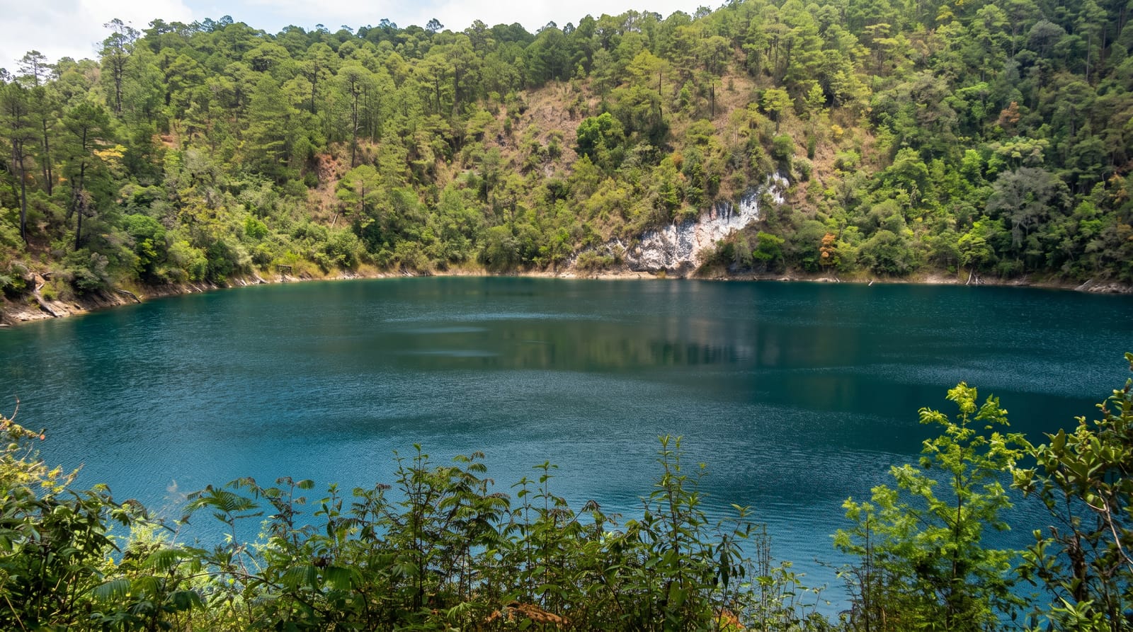
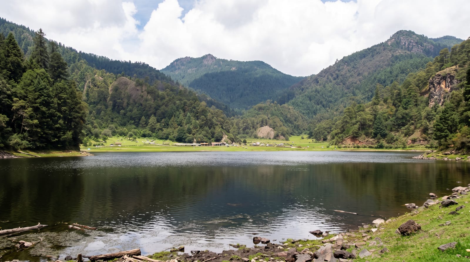
AI illustration
Pangong Tso is a long, narrow lake at over four thousand metres in eastern Ladakh, held between bare brown ridges with almost no vegetation on its shores. The water is intensely blue and changes through the day, turning turquoise in flat light and deep indigo when clouds pass, and although its water is saline, the lake freezes over in winter. The drive from Leh crosses the Chang La pass and takes most of a morning through empty high desert. The lake runs east for well over a hundred kilometres, with most of its length lying outside India. Camps and guesthouses cluster at Spangmik and neighbouring villages along the accessible western shore.
History
Historically the name Pangong Tso applied only to the westernmost of the lake's five sub-lakes, in Ladakh, and the whole group is called Tsomo Nganglha Ringpo in Tibetan. The Government of Ladakh gives the meaning of Pangong Tso as "high grassland lake", while other sources read Pangong as "hollow" (Wikipedia, Pangong Tso).
What's there
- The changing colour of the water - blue to turquoise to grey as the light shifts.
- Bare ridges around the shore - treeless brown and ochre slopes dropping straight into the lake.
- The Chang La crossing - the high pass on the road in from Leh.
- The Spangmik shoreline - the village strip where most of the camps and viewpoints sit.
When to go
The road is usually open from May to September; snow closes the passes for much of the rest of the year. Light is best early and late, when the ridges take on colour and the wind drops. Middays are harsh and often windy. Spend at least two nights acclimatising in Leh before coming up, and carry the required inner line permit.
What to expect
The altitude is serious, and people who drive straight up from Leh without acclimatising often spend the night with a headache and no sleep. Accommodation is tented camps with limited water and power, and the shoreline has become crowded and littered in places, with generators and photo props at the popular spots. It is cold and windy even in summer.
Nearby
The Nubra valley and its dunes lie north over another high pass.
Key facts
Source: Wikidata, item Q1032254, read on 18 October 2026.
What to pack for Pangong Tso
Chosen from what this place is for. Tap a kit for the full checklist.
- Reef-safe sunscreen - High SPF that will not bleach the coral you are swimming over. Find on Amazon
- Warm base layers - Merino or synthetic against the skin - never cotton, which chills when damp. Find on Amazon
- Loose, light, long clothing - Covering up beats bare skin in the desert - and locals dress this way for a reason. Find on Amazon
- Layers for big temperature swings - Warm sun by day, near-freezing at night, even near the equator. Find on Amazon
Some links on this page are Amazon affiliate links - if you buy through them we may earn a small commission at no extra cost to you.
All packing kitsPlan your trip
Where to start if Pangong Tso is going on the list.
Booking links on this page are affiliate links - if you book through them we may earn a small commission at no extra cost to you. It never changes what we write about a place.
Opening times, ticket prices and seasonal closures change - check the official source before you go: official site.