Khardung La
The pass north of Leh into Nubra, long signed as the highest motorable road in the world.
Updated 19 October 2026
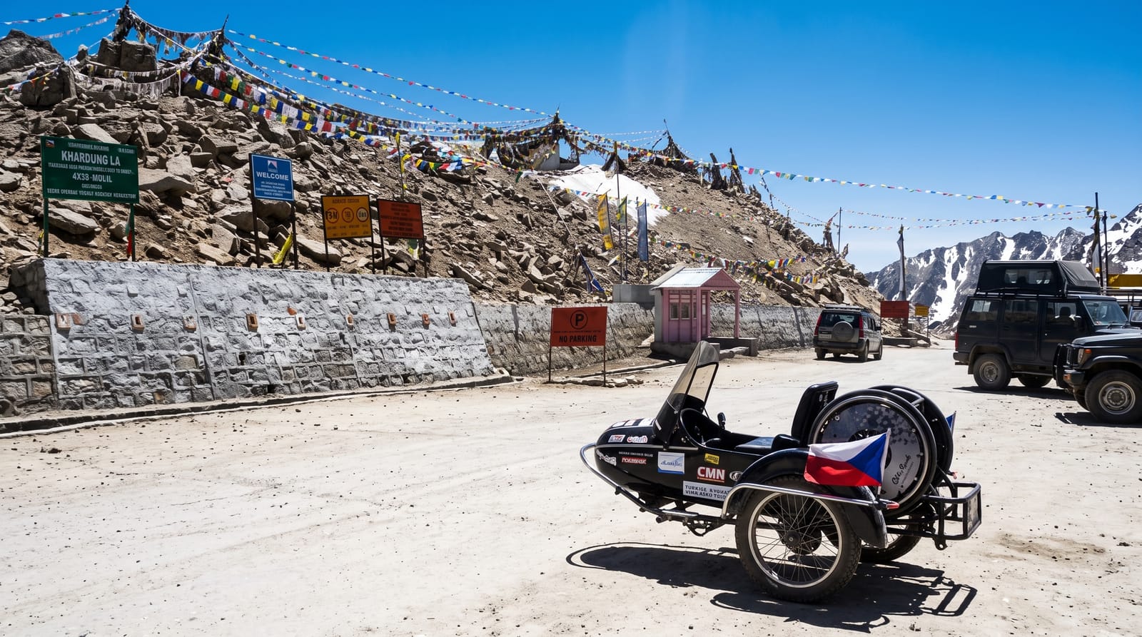
AI illustration
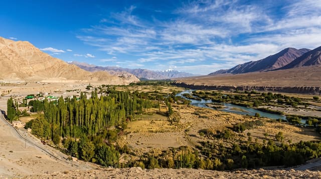
Khardung La carries the road from Leh over the Ladakh range into the Shyok and Nubra valleys, and a sign at the top has for decades claimed it as the highest motorable pass in the world at 18,380 feet. Surveys put the actual height nearer 5,360 metres, and several other passes in Ladakh are higher, so the claim is disputed; it remains the best-known of them and the standard first crossing for motorcyclists riding to Nubra. The road is maintained by the Border Roads Organisation and climbs steeply from Leh in about forty kilometres, with snow and ice on the top for much of the year.
History
The pass lies on the old caravan route from Leh to Kashgar in Central Asia, used every year by some 10,000 horses and camels, and a small population of Bactrian camels can still be seen at Hunder north of the pass. The motorable road over it was built in 1976 by the Border Roads Organisation (Wikipedia, Khardung La).
What you'll find
- The summit sign - the long-standing claim to be the highest motorable pass.
- The climb from Leh - a steep ascent of some forty kilometres.
- The Nubra descent - the drop north toward the Shyok valley.
- The motorcyclists - riders making the crossing as a rite of passage.
When to go
May to October, when the pass is reliably open; snow closes or delays it outside that and even in summer it can shut at short notice. Mornings are the standard crossing time before weather builds.
Good to know
The height claim is contested and the sign overstates it. Altitude sickness is common and lingering at the top is discouraged; the advice is to move through, not linger. An Inner Line Permit is required.
Nearby
Leh lies south; the Nubra valley is north.
Key facts
Source: Wikidata, item Q866388, read on 18 October 2026.
What to pack for Khardung La
Chosen from what this place is for. Tap a kit for the full checklist.
- Broken-in walking shoes or boots - Grip and ankle support matter more than looks; never hike in brand-new boots. Find on Amazon
- Warm base layers - Merino or synthetic against the skin - never cotton, which chills when damp. Find on Amazon
- Comfortable walking shoes - Sightseeing means kilometres of pavement and cobbles daily. Find on Amazon
- Layers + a waterproof shell - Mountain weather turns fast; a packable rain jacket saves the day. Find on Amazon
Some links on this page are Amazon affiliate links - if you buy through them we may earn a small commission at no extra cost to you.
All packing kitsPlan your trip
Where to start if Khardung La is going on the list.
Booking links on this page are affiliate links - if you book through them we may earn a small commission at no extra cost to you. It never changes what we write about a place.
Opening times, ticket prices and seasonal closures change - check the official source before you go: official site.