Mabaruma
A hilltop regional capital in Guyana's far northwest, surrounded by rainforest and reached mainly by air or boat.
Updated 19 October 2026
Mabaruma is the administrative centre of Guyana's northwest, built on a low ridge above rainforest and swamp after the old capital at Morawhanna was abandoned to flooding. It is a small place of government buildings, a market and scattered housing along the ridge road, with Warrau and Arawak communities in the surrounding area. Fruit grows well here and the region supplies much of the country's coconut and citrus. It is the base for Shell Beach and the northwest rivers.
History
Mabaruma was once a large estate owned by the Broomes family, which produced cocoa, before the government bought part of the land for its offices. It replaced Morawhanna as the regional capital after the old town was judged at risk from flooding, and it became a town in 2016, joined by the surrounding villages of Hosororo and Kumaka (Wikipedia, Mabaruma).
What's there
- The ridge setting - the town strung along a low hill above the forest.
- The market - regional produce, particularly fruit from the surrounding farms.
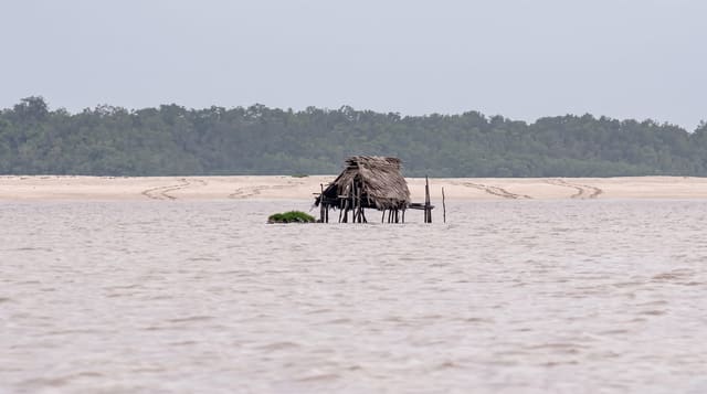
- The rainforest - dense wet forest running away in every direction.
- The river routes - boat access to the Waini, Barima and the coast.
When to go
September to April is drier and easier for travel. The wet seasons from May to August and November to January bring heavy rain. Flights are weather dependent.
Before you go
Access is by air or a long combination of boat and road; there is no direct road from Georgetown. Accommodation is basic and limited. Facilities in town are minimal.
Nearby
Hosororo falls are nearby, and Shell Beach is on the coast north.
Key facts
Source: Wikidata, item Q597458, read on 18 October 2026.
What to pack for Mabaruma
Chosen from what this place is for. Tap a kit for the full checklist.
- Strong insect repellent - DEET or picaridin; the jungle is where bites and disease risk are highest. Find on Amazon
- Comfortable walking shoes - Sightseeing means kilometres of pavement and cobbles daily. Find on Amazon
- Long, light, quick-dry clothing - Covers skin from insects and sun without cooking you in the humidity. Find on Amazon
- A slim anti-theft daypack - Zips that close properly; keep it in front in crowds and on transit. Find on Amazon
Some links on this page are Amazon affiliate links - if you buy through them we may earn a small commission at no extra cost to you.
All packing kitsPlan your trip
Where to start if Mabaruma is going on the list.
Booking links on this page are affiliate links - if you book through them we may earn a small commission at no extra cost to you. It never changes what we write about a place.
Opening times, ticket prices and seasonal closures change - check the official source before you go: official site.