Mount Psiloritis
The highest mountain in Crete at 2,456 metres, with a summit chapel, a high plateau of shepherds' huts and the Ideon cave.
Updated 21 October 2026
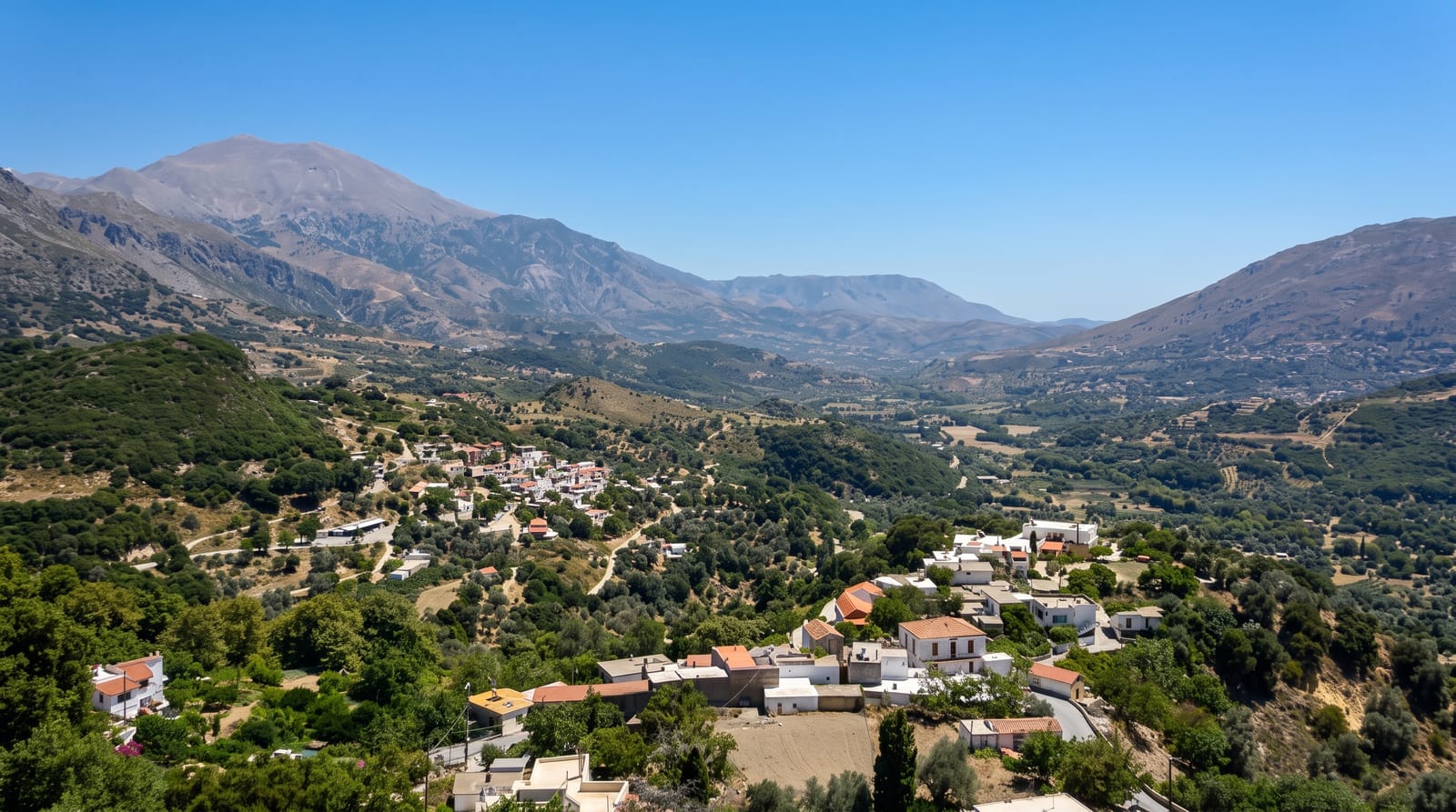
AI illustration
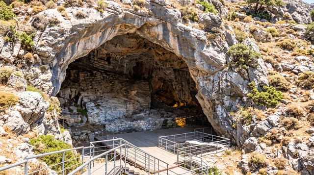
Psiloritis, also called Mount Ida, rises to 2,456 metres and carries a small chapel of the Holy Cross on its summit, the highest building on Crete. The standard ascent starts from the Nida plateau at about 1,400 metres, a wide grassy basin ringed by stone mitata, the round shepherds' huts used for cheese-making, and takes three to four hours up on a marked path over limestone, with the whole island visible from the top on a clear day, sea to sea. On the plateau's edge opens the Ideon Andron, the cave where one tradition says Zeus was raised, excavated to reveal bronze shields and votives of the eighth and seventh centuries BC. The mountain is part of the Psiloritis UNESCO Global Geopark.
What you'll find
- The summit chapel - Timios Stavros at 2,456 metres, Crete's high point.
- The Nida plateau - a grassy basin with stone shepherds' huts.
- The Ideon cave - the cult cave associated with the raising of Zeus.
- The sea-to-sea view - both coasts of Crete from the summit on clear days.
When to go
May to October; snow covers the summit from November into spring and the route then needs winter equipment. Start at dawn in summer, as the limestone offers no shade and afternoons build cloud.
What to expect
The ascent is long, rocky and entirely exposed, with no water on the route and no facilities beyond a seasonal taverna at Nida. The path is marked but the terrain is monotonous limestone. The Ideon cave itself is a large empty chamber; the finds are in Heraklion.
Nearby
Anogia lies below on the northern side; Zaros and Kamares are on the southern flank.
Key facts
Source: Wikidata, item Q83659, read on 18 October 2026.
What to pack for Mount Psiloritis
Chosen from what this place is for. Tap a kit for the full checklist.
- Broken-in walking shoes or boots - Grip and ankle support matter more than looks; never hike in brand-new boots. Find on Amazon
- Head torch + spare batteries - Hands-free light is essential; caves are truly dark. Find on Amazon
- Warm base layers - Merino or synthetic against the skin - never cotton, which chills when damp. Find on Amazon
- Layers for big temperature swings - Warm sun by day, near-freezing at night, even near the equator. Find on Amazon
Some links on this page are Amazon affiliate links - if you buy through them we may earn a small commission at no extra cost to you.
All packing kitsPlan your trip
Where to start if Mount Psiloritis is going on the list.
Booking links on this page are affiliate links - if you book through them we may earn a small commission at no extra cost to you. It never changes what we write about a place.
Opening times, ticket prices and seasonal closures change - check the official source before you go: official site.