Ben Nevis
Britain's roof at 1,345 m - the long stony Mountain Track, a summit plateau of observatory ruins and cloud, and the great climbing cliffs of the north face.
Updated 7 August 2026

AI illustration
Ben Nevis is the highest mountain in Britain - 1,345 m by the Ordnance Survey's 2016 re-measurement - a hulking collapsed volcano whose whaleback bulk above Fort William hides its best face: the north side drops in a mile-long wall of ridges and gullies, some of the tallest cliffs in the country and a shrine of Scottish mountaineering in both summer rock and winter ice. Most of the 100,000-plus who climb it each year take the Mountain Track from Glen Nevis, a relentless engineered stone staircase of about 17 km round trip and 1,300 m of ascent, typically seven to nine hours. The summit plateau carries the ruins of the Victorian weather observatory, staffed year-round from 1883 to 1904, whose records still inform how grim the top can be - the summit spends most days in cloud, and snow lingers in the gullies deep into summer.
Highlights
- The summit plateau - observatory ruins, trig point and cairns at Britain's highest ground.
- The north face - the mile of cliffs best seen from the CIC hut approach.
- The Mountain Track - the engineered stone staircase from Glen Nevis.
- Glen Nevis - waterfalls and gorge scenery framing the start.
When to go
June to September for the least snow and longest days; even then pack for winter above 1,000 m. Outside high summer the plateau is serious mountain terrain requiring navigation skills.
Things to know
This is a long, punishing walk, not a stroll - 1,300 m of ascent on ankle-testing stone, with weather that swings from t-shirt to storm in an hour. The summit is in cloud more often than not, so banking on a view is optimism. In poor visibility the plateau's cliff edges make accurate compass work genuinely safety-critical.
Nearby
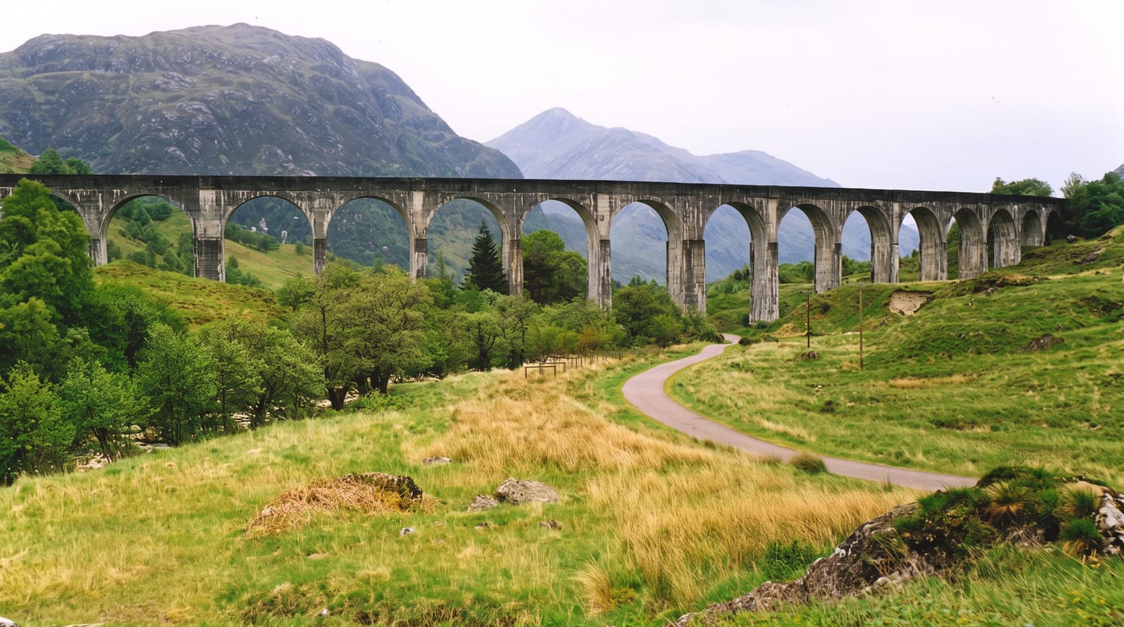
Fort William's outdoor-capital services, Glen Coe down the road and the Glenfinnan railway country west.
Key facts
Source: Wikidata, item Q104674, read on 18 October 2026.
What to pack for Ben Nevis
Chosen from what this place is for. Tap a kit for the full checklist.
- Broken-in walking shoes or boots - Grip and ankle support matter more than looks; never hike in brand-new boots. Find on Amazon
- Spare batteries + cards - Cold and long shoots drain power; never run out at the good light. Find on Amazon
- Warm base layers - Merino or synthetic against the skin - never cotton, which chills when damp. Find on Amazon
- Layers for big temperature swings - Warm sun by day, near-freezing at night, even near the equator. Find on Amazon
Some links on this page are Amazon affiliate links - if you buy through them we may earn a small commission at no extra cost to you.
All packing kitsPlan your trip
Where to start if Ben Nevis is going on the list.
Booking links on this page are affiliate links - if you book through them we may earn a small commission at no extra cost to you. It never changes what we write about a place.
Opening times, ticket prices and seasonal closures change - check the official source before you go: official site.