Askja
A remote highland caldera holding a deep lake and a warm crater pool, reached by tracks open only in high summer.
Updated 30 August 2026

AI illustration
UNESCO World Heritage
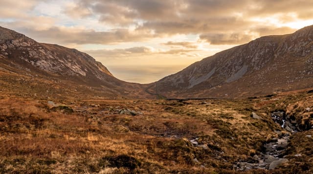
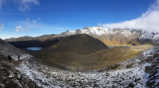
Askja is a caldera set inside the Dyngjufjoll mountains in the empty interior north of Vatnajokull, surrounded by tens of kilometres of black ash and lava in every direction. Inside it lies Oskjuvatn, a very deep lake formed after a major eruption in 1875, and beside it Viti, a smaller explosion crater holding milky blue-green geothermal water. The drive in crosses unbridged rivers and pumice desert, and the final approach is a walk of about 2.5 km over lava and old snowfields. Bathing in Viti has been restricted at times because the crater walls are unstable, so check the current situation locally rather than assuming you can swim.
The landscape
- Oskjuvatn - the dark caldera lake, still ice-covered into summer in some years.
- Viti - the smaller crater below the rim with pale blue-green water.
- The ash desert - the approach across pumice and lava with no vegetation at all.
- Drekagil - the gorge and hut at the road end, the usual base for the walk in.
When to go
The tracks usually open in July and close with the first serious snow in September, and the exact dates vary each year. Go on a clear day; in cloud the caldera is a grey bowl with nothing visible. Start early, because the driving alone takes several hours each way from Myvatn or Egilsstadir.
What to expect
This is a long, rough day. The highland tracks demand a high-clearance 4x4 and river-crossing experience, and there is no fuel, phone signal or help for hours in any direction. The final walk crosses snow patches into September. Viti is often closed to bathers, and the lake is bleak rather than pretty in poor light.
Nearby
Myvatn and the Herdubreid massif lie to the north, and the tracks continue into the interior.
Key facts
Source: Wikidata, item Q211665, read on 18 October 2026.
What to pack for Askja
Chosen from what this place is for. Tap a kit for the full checklist.
- Broken-in walking shoes or boots - Grip and ankle support matter more than looks; never hike in brand-new boots. Find on Amazon
- Warm base layers - Merino or synthetic against the skin - never cotton, which chills when damp. Find on Amazon
- Loose, light, long clothing - Covering up beats bare skin in the desert - and locals dress this way for a reason. Find on Amazon
- Layers for big temperature swings - Warm sun by day, near-freezing at night, even near the equator. Find on Amazon
Some links on this page are Amazon affiliate links - if you buy through them we may earn a small commission at no extra cost to you.
All packing kitsPlan your trip
Where to start if Askja is going on the list.
Booking links on this page are affiliate links - if you book through them we may earn a small commission at no extra cost to you. It never changes what we write about a place.
Opening times, ticket prices and seasonal closures change - check the official source before you go: official site.