Mourne Mountains
A compact granite range in County Down crossed by a 35-kilometre drystone wall, rising from the sea to Slieve Donard at 850 metres.
Updated 4 September 2026
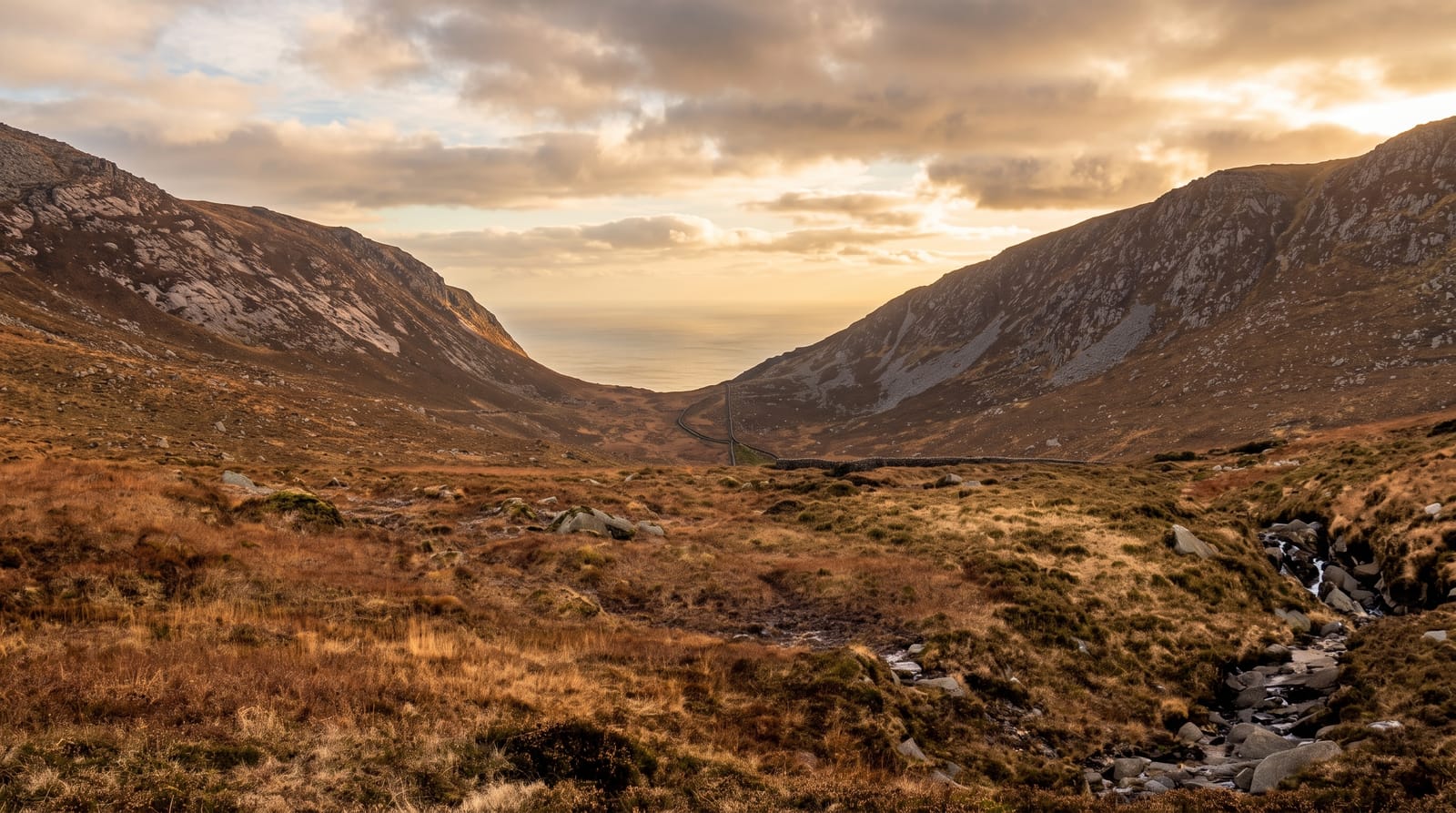
AI illustration
The Mournes are granite pushed up as a cluster of intrusions, and they are remarkably compact - about a dozen summits over 600 metres packed into an area you can cross on foot in a day. Slieve Donard, the highest at 850 metres, rises almost directly from the sea at Newcastle, so the ascent starts near zero and the summit view runs from Belfast Lough to the Isle of Man on clear days. The defining human feature is the Mourne Wall, a drystone granite wall about 35 kilometres long built between 1904 and 1922 to enclose the water catchment for Belfast; it runs straight over fifteen summits and doubles as a navigation handrail in poor visibility. Silent Valley holds the reservoir it protects, with landscaped grounds and an easy lakeside walk for those not climbing.
Highlights
- Slieve Donard - the highest summit, climbed from sea level at Newcastle.
- The Mourne Wall - a drystone wall running straight over fifteen peaks.
- The Silent Valley reservoir - a dammed lake with easy walking grounds.
- Hare's Gap and the Brandy Pad - an old track between the high peaks.
When to go
April to October for the hills. May and June are driest and give the longest daylight. Autumn brings clearer air and better summit views. Winter turns the tops icy and the wall offers little shelter. Weekends see heavy traffic on the Donard path from Newcastle.
Things to know
The Donard climb is relentless, about 850 metres of ascent with no flat sections, and the lower path through Donard Forest is badly eroded and often a stream. Cloud sits on the summits frequently and the view is a coin toss. Parking in Newcastle is tight and charged. Weather changes fast on exposed granite with no natural shelter.
Nearby
The County Down coast runs south to Carlingford Lough, and Belfast is 90 minutes north.
Key facts
Source: Wikidata, item Q1478931, read on 18 October 2026.
What to pack for Mourne Mountains
Chosen from what this place is for. Tap a kit for the full checklist.
- Broken-in walking shoes or boots - Grip and ankle support matter more than looks; never hike in brand-new boots. Find on Amazon
- Layers for big temperature swings - Warm sun by day, near-freezing at night, even near the equator. Find on Amazon
- Layers + a waterproof shell - Mountain weather turns fast; a packable rain jacket saves the day. Find on Amazon
- Extra-strong sun protection - Thin air means fierce UV; hat, sunglasses and high-SPF sunscreen. Find on Amazon
Some links on this page are Amazon affiliate links - if you buy through them we may earn a small commission at no extra cost to you.
All packing kitsPlan your trip
Where to start if Mourne Mountains is going on the list.
Booking links on this page are affiliate links - if you book through them we may earn a small commission at no extra cost to you. It never changes what we write about a place.
Opening times, ticket prices and seasonal closures change - check the official source before you go: official site.