Corinth Canal
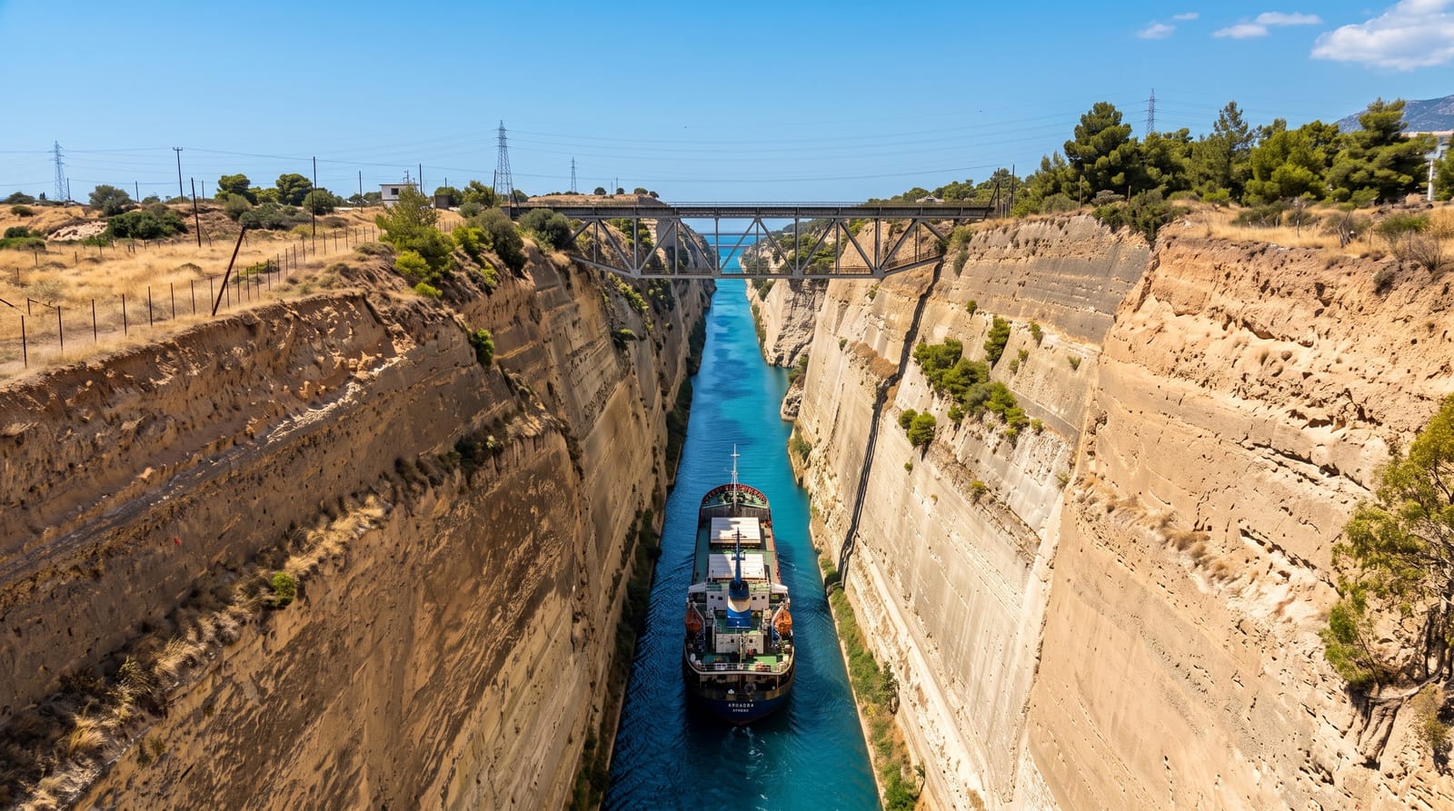
A six-kilometre cut through solid rock with walls up to ninety metres high and water barely wide enough for a small ship.
Updated 19 October 2026
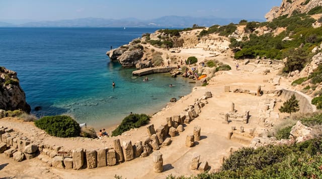
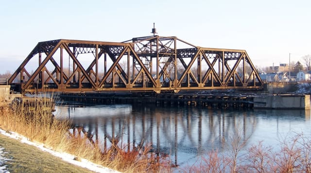
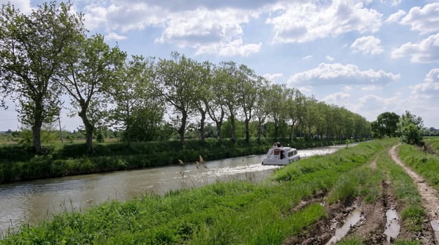
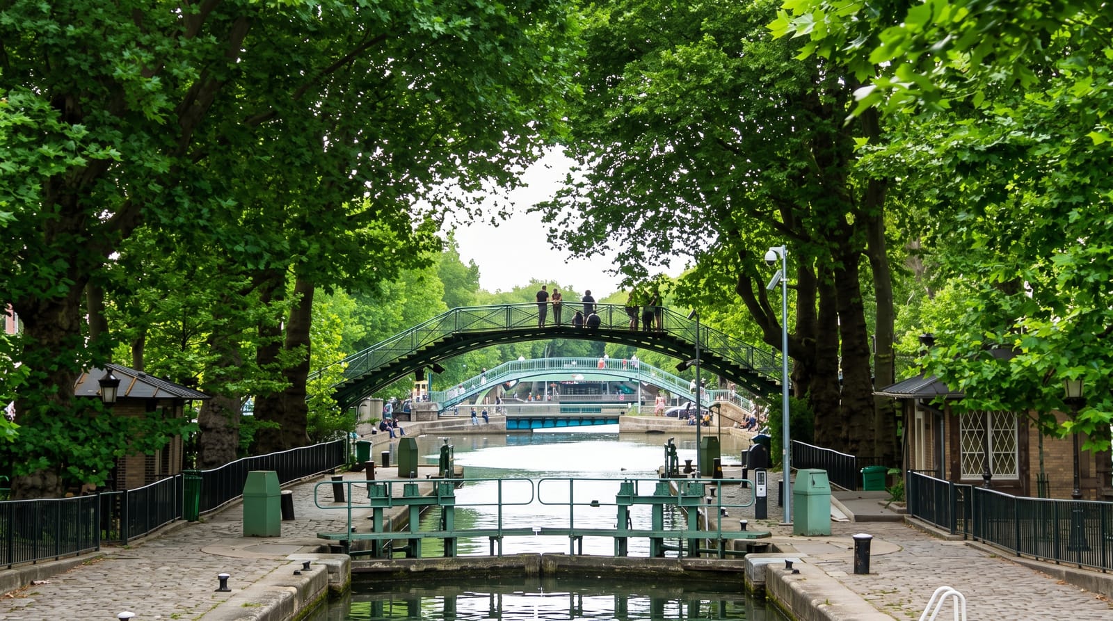
AI illustration
Nero began digging here in AD 67 with six thousand labourers and a golden pickaxe, and abandoned the attempt within months; the modern canal was finally cut between 1881 and 1893, separating the Peloponnese from mainland Greece. It runs 6.4 kilometres, is only about 21 metres wide at water level and up to 90 metres deep at the rock face, which is why it takes vessels no larger than small cruise ships and cargo boats, towed through by tug. Standing on the road bridge at Isthmia the effect is startling: a knife-cut through pale rock with a ribbon of green water far below. Two submersible bridges at either end sink beneath the water to let ships pass. Landslides have closed the canal for long repair periods in recent years, so traffic can be sparse.
History
The tyrant Periander proposed a canal in the 7th century BC but built the Diolkos, a paved road for hauling ships across the isthmus, instead; Demetrius Poliorcetes later dropped a plan when his surveyors feared floods, and Plutarch and Suetonius say Julius Caesar considered it before his murder. Nero began digging in 67 AD with 6,000 Judean prisoners of war, cutting trenches 40 to 50 metres wide from both sides, but the work stopped soon after his death, and the modern canal was completed in 1893, separating the Peloponnese from the mainland (Wikipedia, Corinth Canal).
What you'll find
- The main road bridge - the classic view down the length of the cut.
- The submersible bridges - road decks that sink under the water for shipping.
- The rock walls - near-vertical sides rising up to ninety metres.
- Ships under tow - vessels being pulled through the narrow channel.
When to go
Any time; morning light reaches down into the cut better than afternoon. Shipping is irregular, so seeing a vessel pass is luck rather than schedule.
Good to know
It is a viewpoint from a road bridge with traffic behind you, seen in twenty minutes. Bungee jumping and a small cafe make up the facilities. If no ship is passing, the canal is simply a very impressive ditch.
Nearby
Ancient Corinth and Acrocorinth lie a short drive west; Athens is an hour east.
Key facts
Source: Wikidata, item Q182873, read on 18 October 2026.
What to pack for Corinth Canal
Chosen from what this place is for. Tap a kit for the full checklist.
- Comfortable walking shoes - Sightseeing means kilometres of pavement and cobbles daily. Find on Amazon
- A slim anti-theft daypack - Zips that close properly; keep it in front in crowds and on transit. Find on Amazon
- A refillable water bottle - Many cities have public fountains; save money and plastic. Find on Amazon
- A light layer + compact umbrella - For museum air-con and a sudden shower. Find on Amazon
Some links on this page are Amazon affiliate links - if you buy through them we may earn a small commission at no extra cost to you.
All packing kitsPlan your trip
Where to start if Corinth Canal is going on the list.
Booking links on this page are affiliate links - if you book through them we may earn a small commission at no extra cost to you. It never changes what we write about a place.
Opening times, ticket prices and seasonal closures change - check the official source before you go: official site.