Kahler Asten
A bare upland summit with a weather station that has recorded the region's lowest temperatures since 1918.
Updated 21 October 2026
AI illustration
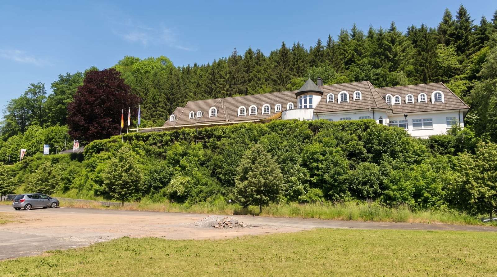
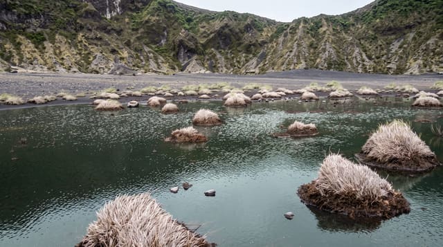
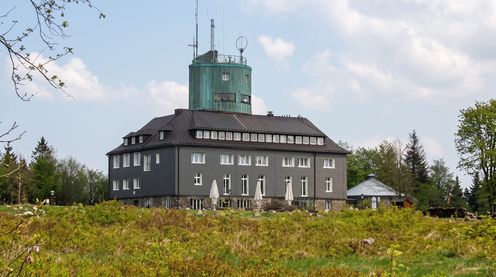
The Kahler Asten reaches 841 metres in the Rothaargebirge and is among the highest points in North Rhine-Westphalia. Its name means bare Asten: the top is heath and bog rather than forest, kept open historically by grazing and burning and now maintained as a nature reserve for its upland plants. A weather station has operated here since 1918 and the summit is regularly the coldest and snowiest place named in German forecasts, which has made the name familiar nationally. An observation tower opened in 1895 stands beside it, and the weather station is housed in it. Winterberg below is one of Germany's main winter sports centres with a bobsleigh track.
What's there
- The bare summit - heath and bog kept open by grazing and burning below the natural tree line.
- The weather station - operating since 1918 and quoted in national forecasts.
- The Astenturm - an observation tower of 1895 with views over the Sauerland.
- The upland reserve - protected moorland plants on the plateau.
When to go
May to October for walking and the moorland flora; December to March for snow, when Winterberg's lifts operate. The summit is exposed and often in cloud.
Good to know
The summit is developed with a road, car park and buildings. Cloud and wind are frequent. The reserve restricts walking to marked paths.
Nearby
Winterberg lies below; the Atta cave is west.
Key facts
Source: Wikidata, item Q561875, read on 18 October 2026.
What to pack for Kahler Asten
Chosen from what this place is for. Tap a kit for the full checklist.
- Broken-in walking shoes or boots - Grip and ankle support matter more than looks; never hike in brand-new boots. Find on Amazon
- Head torch + spare batteries - Hands-free light is essential; caves are truly dark. Find on Amazon
- Warm base layers - Merino or synthetic against the skin - never cotton, which chills when damp. Find on Amazon
- Layers for big temperature swings - Warm sun by day, near-freezing at night, even near the equator. Find on Amazon
Some links on this page are Amazon affiliate links - if you buy through them we may earn a small commission at no extra cost to you.
All packing kitsPlan your trip
Where to start if Kahler Asten is going on the list.
Booking links on this page are affiliate links - if you book through them we may earn a small commission at no extra cost to you. It never changes what we write about a place.
Opening times, ticket prices and seasonal closures change - check the official source before you go: official site.