Mont Ventoux
An isolated limestone mass rising to 1,909 metres over Provence, its bare white summit visible from half the Rhone valley.
Updated 19 October 2026
AI illustration
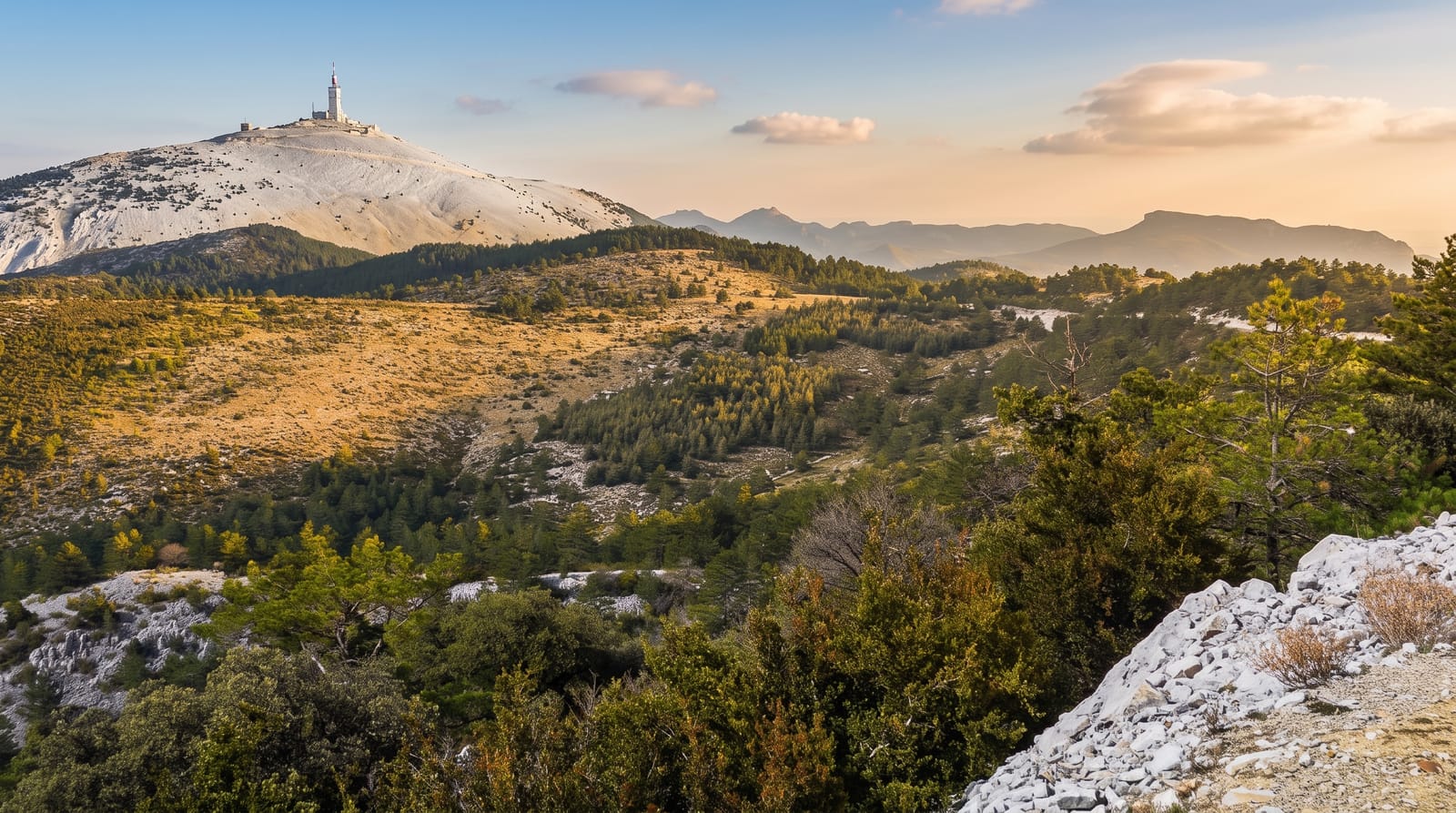
Mont Ventoux stands alone, which is why it looks so much bigger than 1,909 metres. There is no range around it, only the Vaucluse plain and vineyards, and then this pale hulk with a tower on top. The last few hundred metres are bare limestone scree, stripped when the slopes were cut over for timber and charcoal in earlier centuries and never fully recovered, and from a distance that white ground reads convincingly as snow in the middle of August. Replanting from the nineteenth century put cedar and pine back on the lower flanks. The mistral hits the summit hard enough to make standing upright a problem, and the name is not a coincidence.
History
In the 10th century the mountain was called both Mons Ventosus and Mons Ventorius, and the mistral has driven winds at the summit up to 320 km/h. People probably climbed it in prehistory, but the first recorded ascent was by the philosopher Jean Buridan before 1334, on his way to the papal court at Avignon, to make weather observations, and on 26 April 1336 Petrarch wrote his famous, perhaps fictional, account of climbing it with his brother. A chapel of the Holy Cross was built on the top in the 15th century, a weather station was built on the summit in 1882 with a carriage road planned in 1879, a hill climb for cars and motorcycles was run on its roads from 1902 to 1976, and a 50-metre telecommunications mast went up in the 1960s (Wikipedia, Mont Ventoux).
The landscape
- The white summit - bare limestone scree that reads as snow from the plain below.
- The Bedoin climb - twenty-one kilometres of road that cyclists treat as a test piece.
- The cedar forest - nineteenth-century plantings on the southern flank.
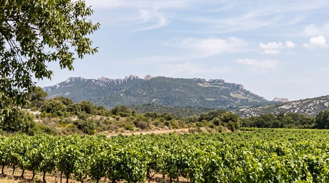
- The plain below - the Rhone valley, the Dentelles de Montmirail and the Vaucluse.
When to go
The summit road usually opens once the snow clears, generally in spring, and closes again with the first heavy falls. June to October is dependable. Go early: haze builds through the day and so does the wind. Expect the top to be ten or more degrees colder than Carpentras, whatever the forecast says down there.
Practical notes
The summit is a car park with masts, a weather station and a kiosk, not a wild place. On summer weekends the road is a slow line of cars overtaking cyclists on blind bends. Wind closes it outright at times. The long view is often lost in haze, and the cycling ascent has almost no shade on the Bedoin side.
Nearby
Sault and its lavender fields lie east; the Dentelles de Montmirail are just west.
Key facts
Source: Wikidata, item Q209064, read on 18 October 2026.
What to pack for Mont Ventoux
Chosen from what this place is for. Tap a kit for the full checklist.
- Broken-in walking shoes or boots - Grip and ankle support matter more than looks; never hike in brand-new boots. Find on Amazon
- Padded shorts - The one thing that makes a full day in the saddle bearable. Find on Amazon
- Warm base layers - Merino or synthetic against the skin - never cotton, which chills when damp. Find on Amazon
- Layers for big temperature swings - Warm sun by day, near-freezing at night, even near the equator. Find on Amazon
Some links on this page are Amazon affiliate links - if you buy through them we may earn a small commission at no extra cost to you.
All packing kitsPlan your trip
Where to start if Mont Ventoux is going on the list.
Booking links on this page are affiliate links - if you book through them we may earn a small commission at no extra cost to you. It never changes what we write about a place.
Opening times, ticket prices and seasonal closures change - check the official source before you go: official site.