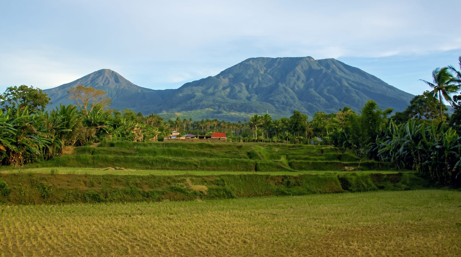
The Sierra Maestra
Cuba's highest range, a green wall of cloud forest along the southeastern coast, climbed to the summit of Pico Turquino on a demanding guided trek.
Updated 1 September 2026
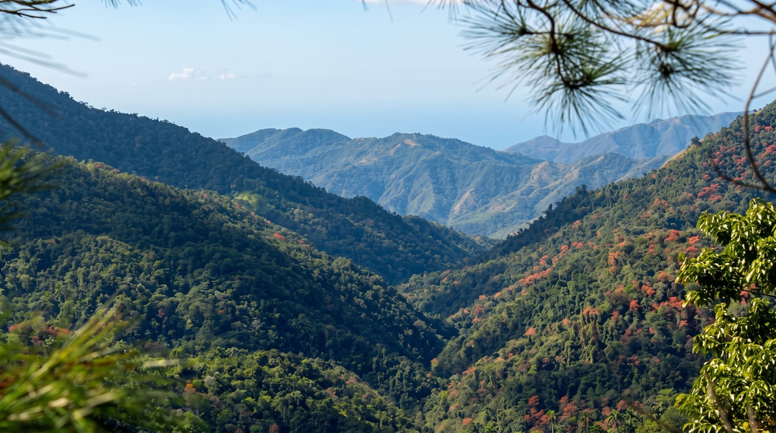
AI illustration
The Sierra Maestra runs along Cuba's southeastern coast and holds the highest ground on the island, rising to Pico Turquino at 1,974 metres, and it is a completely different Cuba from the beaches and colonial squares: steep, wet, forested mountains where cloud sits in the valleys and the birdlife is exceptional. The classic trek climbs from Santo Domingo through Alto del Naranjo and along a ridge of dripping cloud forest hung with epiphytes to the summit, where a bust marks the top and, on a rare clear morning, the view runs down to the Caribbean on one side and across the island on the other. It can be done as a hard two-day out-and-back or as a three-day traverse finishing at Las Cuevas on the coast, sleeping in basic mountain shelters. Guides are compulsory and the walking is genuinely steep.
What you'll find
- Pico Turquino - the summit, the highest point in Cuba.
- The cloud forest - dripping ridge forest of tree ferns and epiphytes.
- The birdlife - Cuban trogon, tody and other endemics along the trail.
- The traverse to the coast - the three-day route finishing at the Caribbean.
When to go
November to April is the drier season and the best time to have any chance of a clear summit; the mountain is often in cloud whatever the month. The trek must be arranged with the national park, and permits and guides are organised at Santo Domingo or through agencies in Bayamo and Santiago.
What to expect
It is steep, muddy and much harder than the modest altitude suggests, with long climbs on slippery ground and basic shelters rather than huts with facilities. Guides are compulsory and arrangements can be bureaucratic, sometimes requiring a day's notice. Cloud hides the summit view more often than not. Access roads to Santo Domingo are rough and transport is unreliable.
Nearby
Bayamo and Santiago de Cuba are the regional bases; the Caribbean coast road runs below the range.
Key facts
Source: Wikidata, item Q654527, read on 18 October 2026.
What to pack for The Sierra Maestra
Chosen from what this place is for. Tap a kit for the full checklist.
- Broken-in walking shoes or boots - Grip and ankle support matter more than looks; never hike in brand-new boots. Find on Amazon
- Reef-safe sunscreen - High SPF that will not bleach the coral you are swimming over. Find on Amazon
- Binoculars - The single best wildlife tool - even a compact pair transforms a sighting. Find on Amazon
- Layers for big temperature swings - Warm sun by day, near-freezing at night, even near the equator. Find on Amazon
Some links on this page are Amazon affiliate links - if you buy through them we may earn a small commission at no extra cost to you.
All packing kitsPlan your trip
Where to start if The Sierra Maestra is going on the list.
Booking links on this page are affiliate links - if you book through them we may earn a small commission at no extra cost to you. It never changes what we write about a place.
Opening times, ticket prices and seasonal closures change - check the official source before you go: official site.