Forillon National Park
The end of the Appalachian chain, where the mountains run into the sea at a cliff and stop.
Updated 21 October 2026
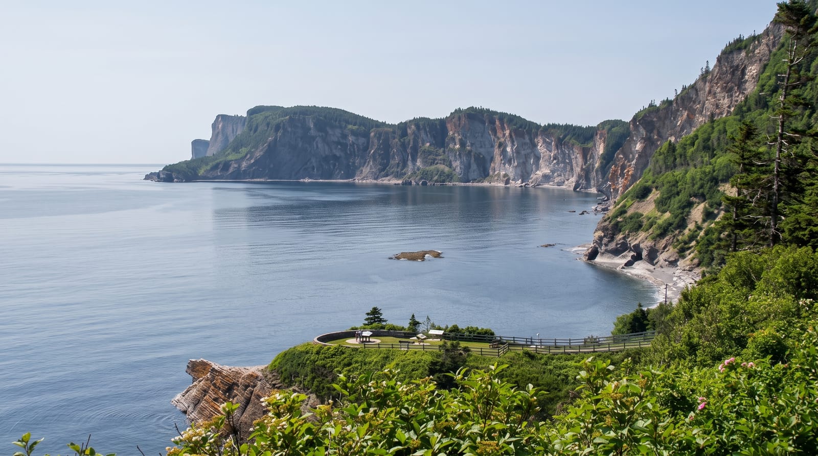
AI illustration
Forillon occupies the tip of the Gaspé Peninsula where the Appalachian Mountains, running some three thousand kilometres from Alabama, finally reach the Gulf of St. Lawrence and end at Cap Gaspé in a two-hundred-metre limestone cliff with a lighthouse on it. The park was created in 1970. Some houses were kept and are interpreted. Seals haul out below the cliffs, whales pass offshore, and black bears and moose live in the interior forest.
History
The area was a summer hunting and fishing ground for the Mi'kmaq and Haudenosaunee, and later the people of L'Anse-au-Griffon worked its forests for timber; the name is thought to refer to a flowerpot island, a sea stack that was once a landmark here and has since collapsed into the sea. Forillon was created in 1970 as the first national park in Quebec (Wikipedia, Forillon National Park).
Highlights
- Cap Gaspé - the cliff where the Appalachians end, with a lighthouse.
- The old houses - buildings of the former fishing communities kept in the park.
- The seal haul-outs - colonies visible below the cliffs.
- The whales - minke, fin and humpback passing offshore in summer.
When to go
June to September; whales are in the gulf from June into October. The park largely closes in winter. Fog is frequent on the cape in early summer.
Before you go
The walk to Cap Gaspé is about eight kilometres return from the nearest car park. Fog can hide the view entirely. The park is a very long drive from anywhere in central Canada.
Nearby
Percé lies south; Gaspésie park is west.
Key facts
Source: Wikidata, item Q1437338, read on 18 October 2026.
What to pack for Forillon National Park
Chosen from what this place is for. Tap a kit for the full checklist.
- Broken-in walking shoes or boots - Grip and ankle support matter more than looks; never hike in brand-new boots. Find on Amazon
- Travel rod + reel - A packable multi-piece rod fits in a case and covers most holiday fishing. Find on Amazon
- Binoculars - The single best wildlife tool - even a compact pair transforms a sighting. Find on Amazon
- Layers + a waterproof shell - Mountain weather turns fast; a packable rain jacket saves the day. Find on Amazon
Some links on this page are Amazon affiliate links - if you buy through them we may earn a small commission at no extra cost to you.
All packing kitsPlan your trip
Where to start if Forillon National Park is going on the list.
Booking links on this page are affiliate links - if you book through them we may earn a small commission at no extra cost to you. It never changes what we write about a place.
Opening times, ticket prices and seasonal closures change - check the official source before you go: official site.