Magnetic Island
A granite island off Townsville with hoop pines, boulder headlands, wartime forts and one of Australia's densest koala populations.
Saved in this browser only - no account, nothing sent anywhere. See your map
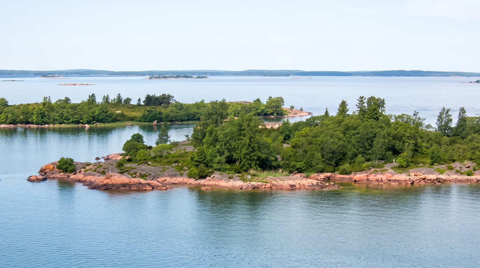
Magnetic Island lies eight kilometres off Townsville, close enough to be a suburb of it, and more than half is national park: granite boulders stacked into headlands, hoop pines on the ridges, and twenty-three bays of which only a handful have roads. The Forts Walk, built during the Second World War to defend the harbour, climbs to gun emplacements and a command post with views over the coast, and the trees along it hold one of the densest wild koala populations in northern Australia, spotted regularly on the way up. Rock wallabies gather at Geoffrey Bay, snorkelling trails run at Nelly and Florence bays, and the island keeps a slow, unpolished feel.
What you actually see
- The Forts Walk - wartime gun emplacements and wild koalas in the trees.
- The granite bays - boulder headlands and beaches around the island.
- The rock wallabies - allied rock wallabies at Geoffrey Bay in the evening.
- The snorkel trails - marked underwater routes at Nelly and Florence bays.
When to go
April to October for the dry season and stinger-free swimming; from November to May marine stingers make swimming outside netted enclosures unwise. Koalas are easiest to spot in the cooler morning. Ferries run frequently year-round.
Honest expectations
Stinger season is a real constraint on swimming for half the year. The island's roads reach only part of it and public transport is limited, so hiring a car or scooter helps. Accommodation is spread out and books up in winter.
Nearby
Townsville is across the channel; the Whitsundays lie south along the coast.
What to pack for Magnetic Island
Chosen from what this place is for. Tap a kit for the full checklist.
Opening times, ticket prices and seasonal closures change - check the official source before you go: official site.