Atherton Tablelands
A volcanic plateau behind Cairns with crater lakes, waterfalls, a giant curtain fig and a climate cooler than the coast.
Updated 21 October 2026
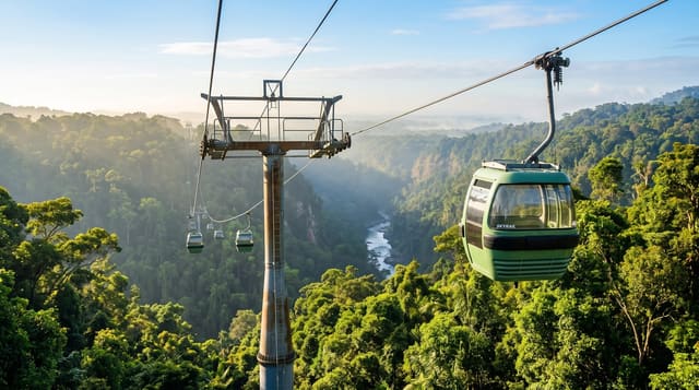
AI illustration
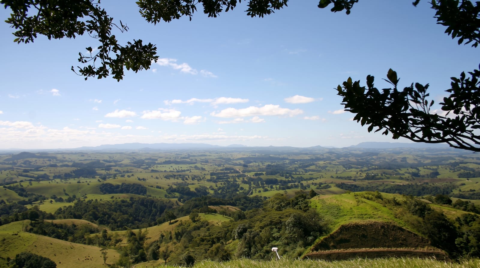
The Atherton Tablelands sit at six hundred to a thousand metres behind Cairns, a plateau built on old basalt flows that gives it rich red soil, dairy and crop farming and a climate several degrees cooler than the coastal strip. Volcanic activity left the crater lakes Eacham and Barrine, both deep, round and ringed by rainforest with walking tracks. The Curtain Fig, a strangler fig whose aerial roots fell as a curtain fifteen metres to the ground after its host tree toppled against another, is a short boardwalk from the road. Waterfalls, platypus viewing at Yungaburra, tree kangaroos, coffee and tea plantations and small towns fill the rest.
History
The tableland has a long history of Aboriginal occupation, the country of Yidinji and Dyirbal speakers among others. James Venture Mulligan, led by Aboriginal guides, explored the area in 1875 looking for gold and found tin, John Atherton settled with his cattle in 1879 near the town that bears his name, and Herberton was founded on 19 April 1880; a dray road brought timber cutters after the miners, for red cedar, kauri and other trees, and a large Chinese-Australian community worked the mines, forests and farms, growing some of the first maize in north Queensland and building the Hou Wang Temple (Wikipedia, Atherton Tableland).
What you'll find
- The crater lakes - Eacham and Barrine, deep volcanic lakes in rainforest.
- The Curtain Fig - a strangler fig with a fifteen-metre curtain of roots.
- The waterfalls - Millaa Millaa, Malanda and the Waterfall Circuit.
- The platypus - viewing points on Peterson Creek at Yungaburra.
When to go
April to October for the dry season and cooler days; the wet season from December to March brings heavy rain, though the falls are at their best then. Nights on the Tablelands are cool year-round, a relief after Cairns.
Before you go
Attractions are spread widely and a car is essential. The range roads up from the coast are winding and slow. Platypus viewing requires stillness at dawn or dusk and is never guaranteed. Rain can be persistent.
Nearby
Cairns lies east down the range; Chillagoe and the outback are west.
Key facts
Source: Wikidata, item Q755509, read on 18 October 2026.
What to pack for Atherton Tablelands
Chosen from what this place is for. Tap a kit for the full checklist.
- Broken-in walking shoes or boots - Grip and ankle support matter more than looks; never hike in brand-new boots. Find on Amazon
- Strong insect repellent - DEET or picaridin; the jungle is where bites and disease risk are highest. Find on Amazon
- Modest clothing - Shoulders and knees covered - the single most common requirement. Find on Amazon
- Layers + a waterproof shell - Mountain weather turns fast; a packable rain jacket saves the day. Find on Amazon
Some links on this page are Amazon affiliate links - if you buy through them we may earn a small commission at no extra cost to you.
All packing kitsPlan your trip
Where to start if Atherton Tablelands is going on the list.
Booking links on this page are affiliate links - if you book through them we may earn a small commission at no extra cost to you. It never changes what we write about a place.
Opening times, ticket prices and seasonal closures change - check the official source before you go: official site.