Lake Gairdner
A salt lake more than a hundred and fifty kilometres long, its crust white enough to hurt the eyes, used for speed records.
Updated 12 October 2026
AI illustration
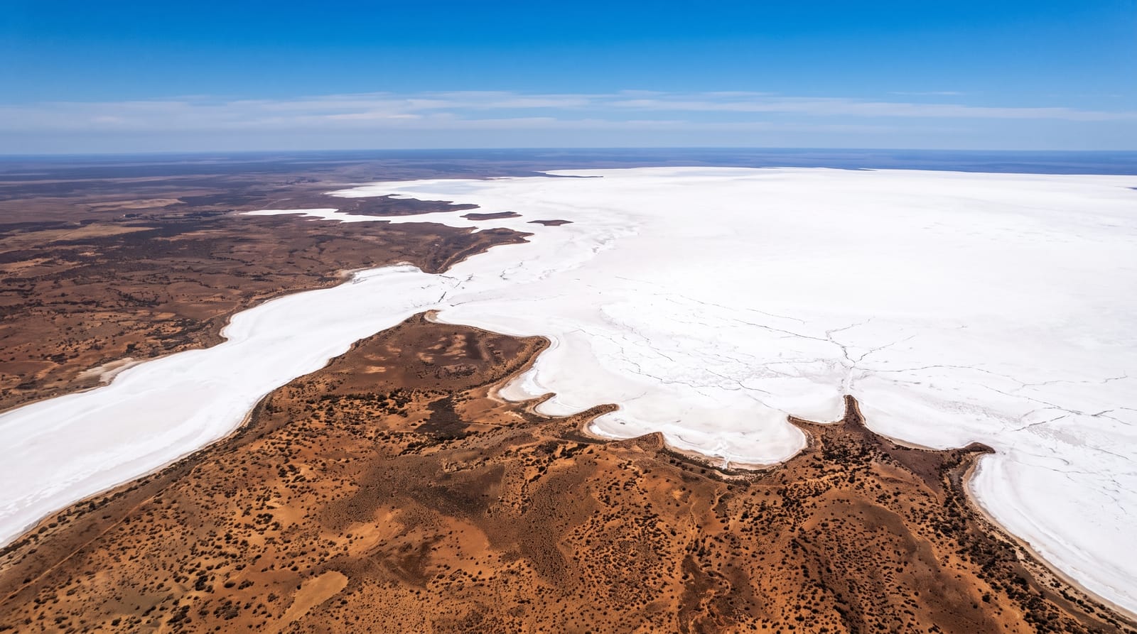
Lake Gairdner is, when it floods, the third-largest salt lake in Australia, stretching over a hundred and fifty kilometres north to south with a salt crust that can be more than a metre thick in places, blindingly white and flat to the horizon in every direction, broken only by low islands of red rock. Access is through Mount Ive Station, a working sheep property that provides the practical route and basic accommodation. Since the 1990s, Speed Week has been held on the lake most years in March, when land speed racers run cars and motorcycles on a marked course, conditions permitting; wet years cancel it. Outside that, the lake is silent and almost never visited.
The landscape
- The salt crust - a flat white surface running to the horizon.
- The red islands - low rocky outcrops standing out of the salt.
- Speed Week - land speed racing on the lake in March, when conditions allow.
- The night sky - dark skies over a completely flat horizon.
When to go
April to September for comfortable temperatures; summer heat and glare are severe. Speed Week falls in March and is cancelled in wet years. Rain makes the surface soft and the access roads impassable.
Good to know
Access is entirely on unsealed station roads and through private property, so arrangements with Mount Ive Station are necessary. Driving onto the salt is restricted and can bog vehicles badly. Glare from the crust is intense and sunglasses are essential. There is no phone coverage.
Nearby
Mount Ive Station is the access point; the Gawler Ranges lie south.
Key facts
Source: Wikidata, item Q965973, read on 18 October 2026.
What to pack for Lake Gairdner
Chosen from what this place is for. Tap a kit for the full checklist.
- Broken-in walking shoes or boots - Grip and ankle support matter more than looks; never hike in brand-new boots. Find on Amazon
- Spare batteries + cards - Cold and long shoots drain power; never run out at the good light. Find on Amazon
- Layers + a waterproof shell - Mountain weather turns fast; a packable rain jacket saves the day. Find on Amazon
- A compact tripod - Essential for night skies, aurora, waterfalls and low light. Find on Amazon
Some links on this page are Amazon affiliate links - if you buy through them we may earn a small commission at no extra cost to you.
All packing kitsPlan your trip
Where to start if Lake Gairdner is going on the list.
Booking links on this page are affiliate links - if you book through them we may earn a small commission at no extra cost to you. It never changes what we write about a place.
Opening times, ticket prices and seasonal closures change - check the official source before you go: official site.