Kati Thanda-Lake Eyre
Australia's largest lake and lowest point, dry most of the time and transformed into an inland sea when floods reach it.
Updated 18 October 2026
AI illustration
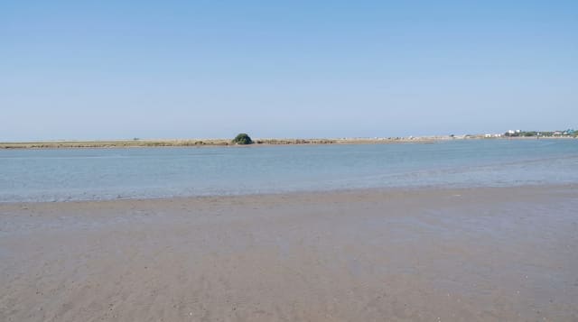
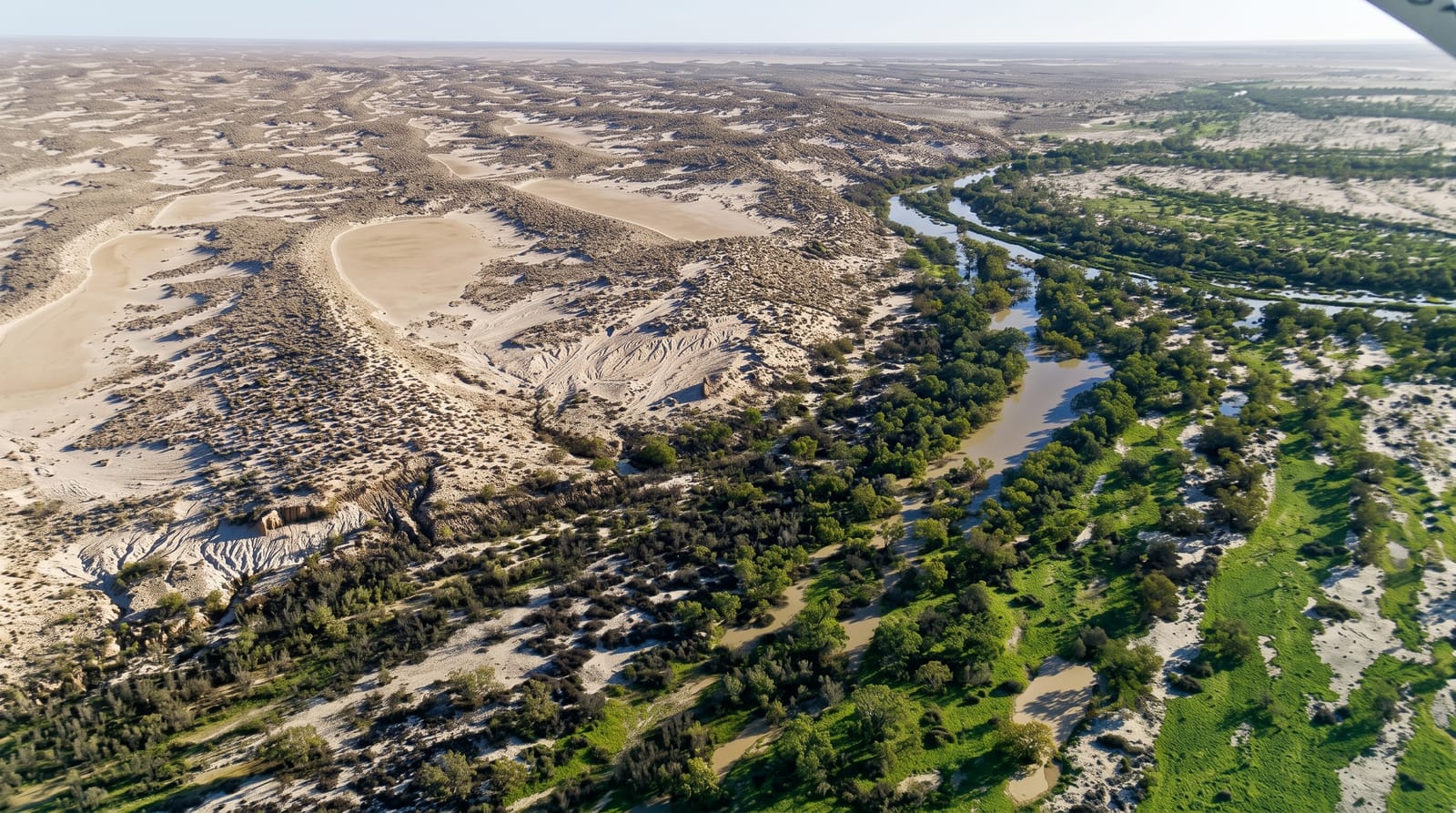
Kati Thanda-Lake Eyre is the lowest point in Australia at about fifteen metres below sea level and the largest lake on the continent, covering nearly ten thousand square kilometres when full, which happens rarely. Most of the time it is a salt pan. Water reaches it from monsoon rain falling in Queensland months earlier and travelling down the Cooper and Diamantina channels, and when a major filling occurs the lake becomes an inland sea that draws pelicans and waterbirds in enormous numbers to breed, hundreds of kilometres from any coast. Scenic flights from William Creek and Marree are the standard way to see the scale, since ground access shows only an edge.
History
The lake lies mostly in the lands of the Arabana, for whom it holds deep significance in their Dreaming, with the Dieri tied to its eastern part and the Kuyani to its southern end; Edward John Eyre was the first European to see it, in 1840, and colonists named it after him. In the 1860s the explorer Peter Egerton-Warburton found it dry and terrible in its stillness, and on 17 July 1964 Donald Campbell set a land speed record of 648.73 kilometres an hour on its salt flats in Bluebird CN7. It was renamed in December 2012 to include its Aboriginal name, Kati Thanda, and the Federal Court recognised Arabana native title over it that year (Wikipedia, Kati Thanda-Lake Eyre).
The landscape
- The salt pan - a vast white crust below sea level in normal years.
- The flood years - water spreading across the lake with waterbirds arriving.
- The scenic flights - the only way to grasp the lake's scale.
- The Lake Eyre yacht club - the Marree institution that sails only when it fills.
When to go
April to October for tolerable temperatures; filling events are unpredictable and follow northern monsoon rain by several months, so checking current conditions is essential. Summer heat here is dangerous and roads close after rain.
Good to know
The lake is dry far more often than not, and driving out to see a salt pan disappoints many. Flights are expensive but are the only way to see it properly. Roads are unsealed and close after rain. Driving on the lake surface is prohibited.
Nearby
William Creek and Marree are the access towns; the Oodnadatta Track runs between them.
Key facts
Source: Wikidata, item Q179970, read on 18 October 2026.
What to pack for Kati Thanda-Lake Eyre
Chosen from what this place is for. Tap a kit for the full checklist.
- Broken-in walking shoes or boots - Grip and ankle support matter more than looks; never hike in brand-new boots. Find on Amazon
- Strong insect repellent - DEET or picaridin; the jungle is where bites and disease risk are highest. Find on Amazon
- Layers + a waterproof shell - Mountain weather turns fast; a packable rain jacket saves the day. Find on Amazon
- Long, light, quick-dry clothing - Covers skin from insects and sun without cooking you in the humidity. Find on Amazon
Some links on this page are Amazon affiliate links - if you buy through them we may earn a small commission at no extra cost to you.
All packing kitsPlan your trip
Where to start if Kati Thanda-Lake Eyre is going on the list.
Booking links on this page are affiliate links - if you book through them we may earn a small commission at no extra cost to you. It never changes what we write about a place.
Opening times, ticket prices and seasonal closures change - check the official source before you go: official site.