Kings Canyon (Watarrka National Park)
A sandstone canyon in the Red Centre with sheer hundred-metre walls, a rim walk over weathered domes and a permanent waterhole below.
Updated 4 September 2026
AI illustration
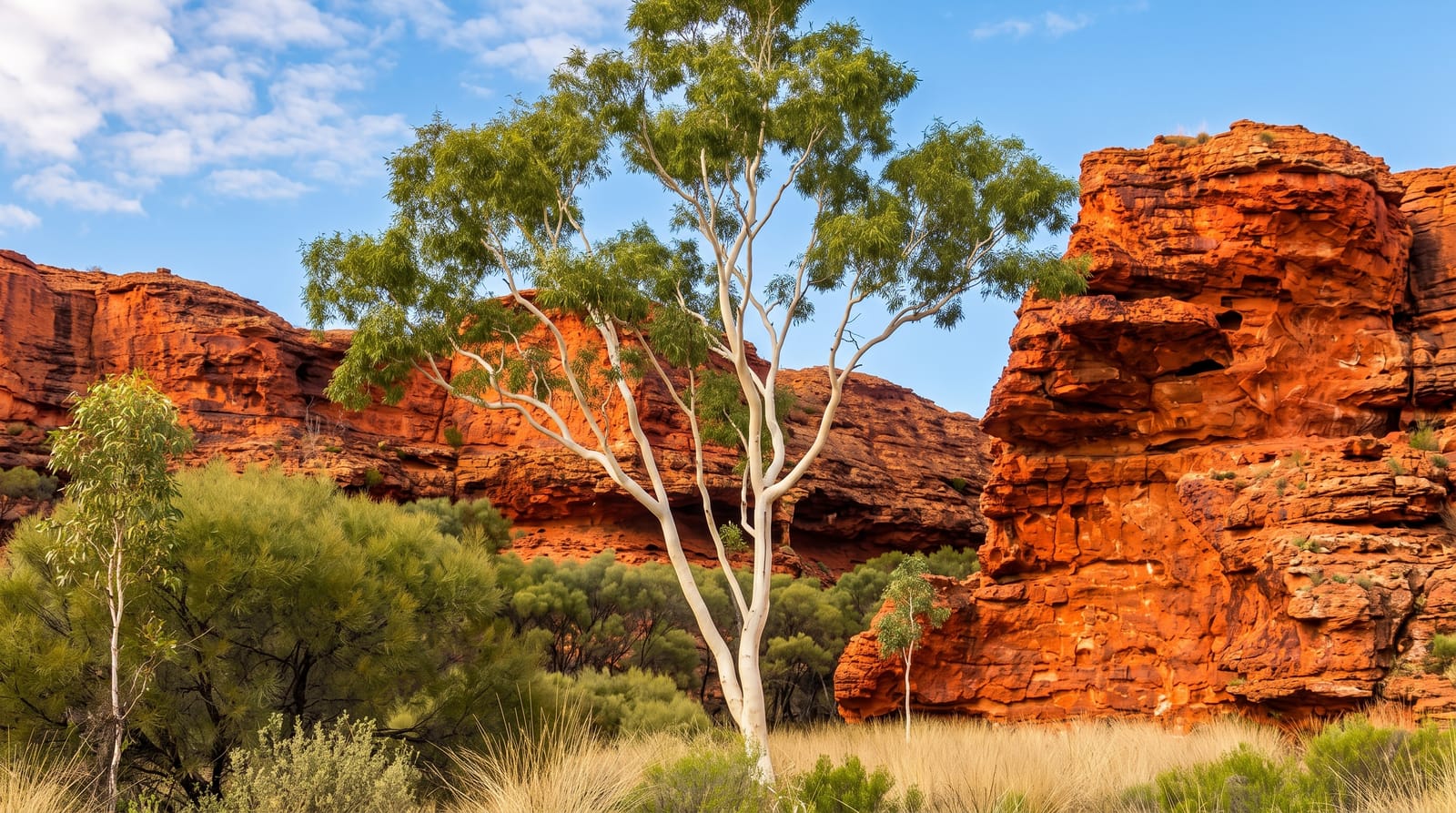
Kings Canyon cuts into the George Gill Range in the southern Northern Territory, its walls dropping more than a hundred metres of sheer red and cream sandstone to a narrow floor. The Rim Walk, a loop of about six kilometres, starts with a steep staircase climb that gets most of the effort out of the way, then follows the top of the cliffs through a field of weathered domes known as the Lost City. Partway round, a wooden staircase drops into a sheltered gully where cycads and gums grow around a permanent waterhole, a startling patch of green in otherwise dry country. The shorter Kings Creek Walk stays on the floor and ends at a platform looking up at the walls.
What's there
- The Rim Walk - the six kilometre loop along the top of the canyon walls.
- The Lost City - a field of weathered sandstone domes on the plateau.
- The Garden of Eden - a gully of cycads and gums around a permanent waterhole.
- Kings Creek Walk - the level track along the canyon floor to a viewing platform.
When to go
May to September is the sensible season. Even then the Rim Walk is best started at first light, before the sun reaches the exposed plateau. Rangers close the climb from 9am whenever the forecast is high, which happens often from October onwards, so a late start can mean not walking at all.
Things to know
The first climb is steep and relentless and turns some people back within ten minutes. There is no shade on the plateau and no water on the route. The canyon is a long drive from anywhere, accommodation nearby is limited and priced accordingly, and part of the connecting Mereenie route is unsealed and needs a permit.
Nearby
Uluru and Kata Tjuta lie to the southwest, with Alice Springs and the West MacDonnell ranges to the northeast.
What to pack for Kings Canyon (Watarrka National Park)
Chosen from what this place is for. Tap a kit for the full checklist.
- Broken-in walking shoes or boots - Grip and ankle support matter more than looks; never hike in brand-new boots. Find on Amazon
- Layers + a waterproof shell - Mountain weather turns fast; a packable rain jacket saves the day. Find on Amazon
- Daypack with rain cover - 20-30 litres holds water, snacks, layers and a first-aid kit. Find on Amazon
- Offline maps + a power bank - Download the trail before you lose signal; carry backup charge. Find on Amazon
Some links on this page are Amazon affiliate links - if you buy through them we may earn a small commission at no extra cost to you.
All packing kitsPlan your trip
Where to start if Kings Canyon (Watarrka National Park) is going on the list.
Booking links on this page are affiliate links - if you book through them we may earn a small commission at no extra cost to you. It never changes what we write about a place.
Opening times, ticket prices and seasonal closures change - check the official source before you go: official site.