Spanish Point
A headland at Barbuda's southeastern tip with reef, ruins and Amerindian remains.
Updated 3 September 2026
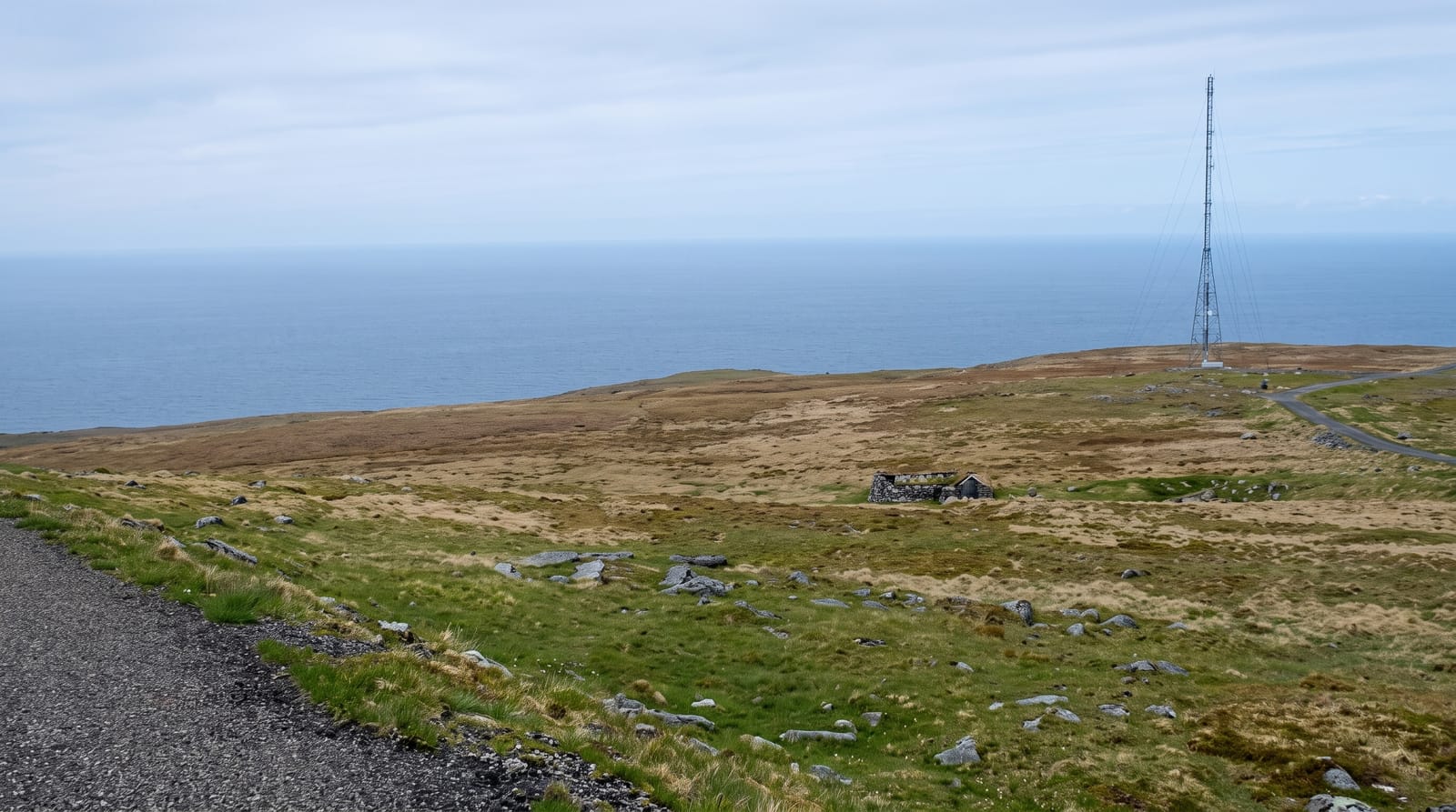
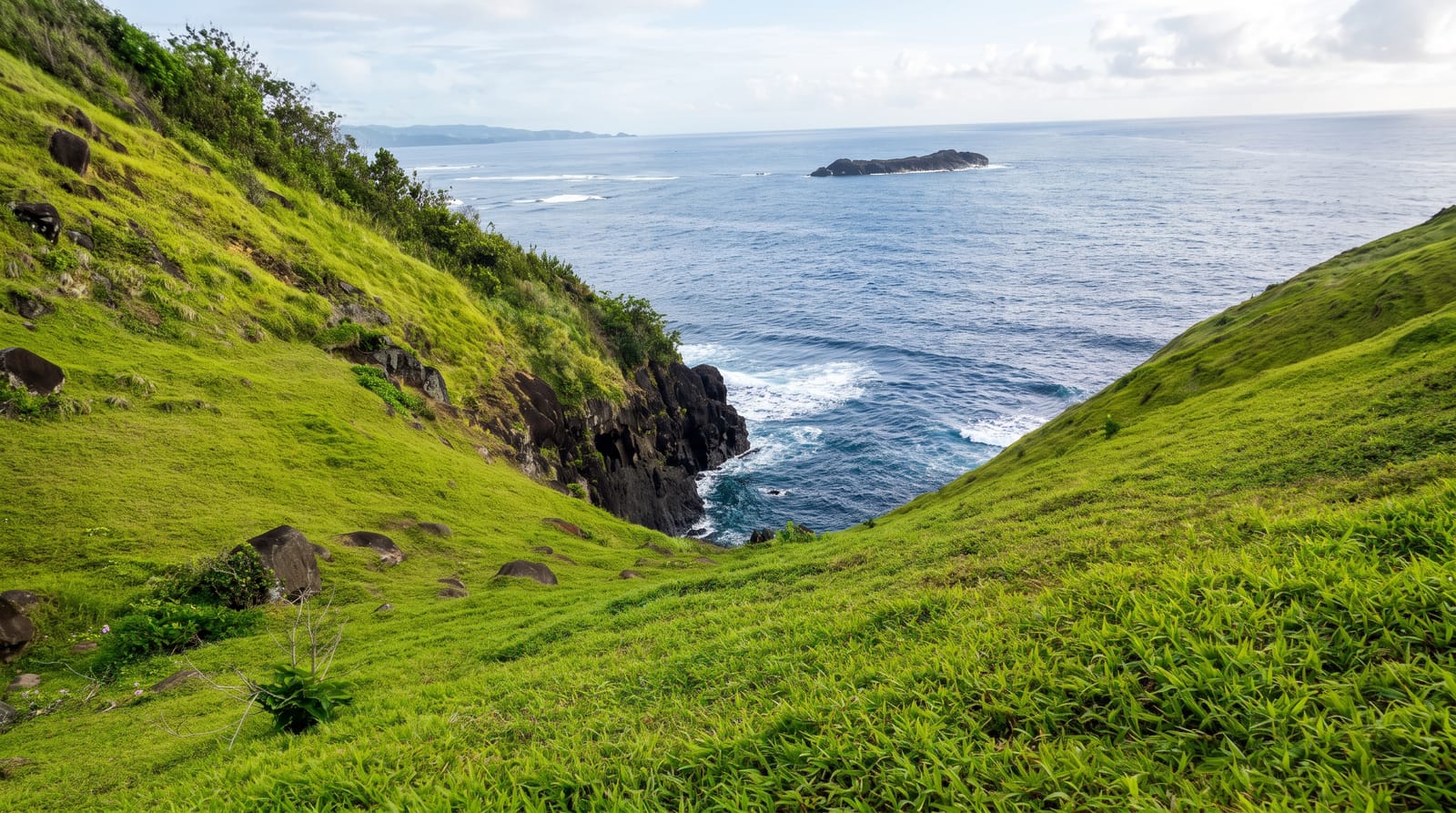
Spanish Point closes Barbuda's southeastern corner, a low headland with the Atlantic on one side and Gravenor Bay on the other, and it holds several layers: the reef offshore that has wrecked a great many ships, a ruined stone tower from the Codrington estate period, and the site of one of the more substantial Amerindian settlements in the Lesser Antilles, excavated over several seasons. The area is now a protected zone.
What you'll find
- The reef - the barrier offshore that has wrecked many vessels.
- The stone tower - the Codrington-era ruin on the headland.
- The Amerindian site - one of the larger pre-Columbian settlements in the region.
- Gravenor Bay - the sheltered water on the leeward side of the point.
When to go
December to April is the dry season and the track is more passable. The point is exposed with no shade. Hurricane season runs June to November.
Good to know
The track across the island is rough and needs four-wheel drive. The archaeological site is unmarked and reads as nothing on the ground. There is no shade or facility.
Nearby
Codrington is northwest, and Two Foot Bay is north.
Key facts
Source: Wikidata, item Q7573272, read on 18 October 2026.
What to pack for Spanish Point
Chosen from what this place is for. Tap a kit for the full checklist.
- Comfortable walking shoes - Sightseeing means kilometres of pavement and cobbles daily. Find on Amazon
- A slim anti-theft daypack - Zips that close properly; keep it in front in crowds and on transit. Find on Amazon
- A refillable water bottle - Many cities have public fountains; save money and plastic. Find on Amazon
- A light layer + compact umbrella - For museum air-con and a sudden shower. Find on Amazon
Some links on this page are Amazon affiliate links - if you buy through them we may earn a small commission at no extra cost to you.
All packing kitsPlan your trip
Where to start if Spanish Point is going on the list.
Booking links on this page are affiliate links - if you book through them we may earn a small commission at no extra cost to you. It never changes what we write about a place.
Opening times, ticket prices and seasonal closures change - check the official source before you go: official site.