Cap Frehel
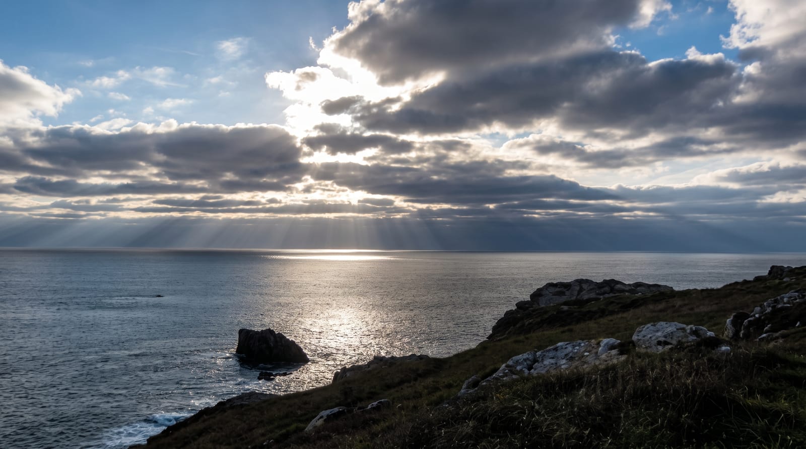
Red sandstone cliffs dropping seventy metres, backed by heath that turns yellow and purple in late summer.
Updated 4 September 2026

AI illustration
Cap Frehel is a headland of red sandstone and schist standing about seventy metres above the sea at the end of a wide plateau of heath, some four hundred hectares of gorse, heather and low scrub that flowers yellow from spring and purple in late summer. The cliffs and offshore stacks hold breeding seabirds including kittiwakes, guillemots, razorbills and fulmars, protected as a reserve with viewing points set back from the nests. A lighthouse of 1950 replaced one destroyed in the war and can be climbed. On clear days the view reaches to the Channel Islands. The GR34 coast path crosses the cape.
What's there
- The red cliffs - sandstone and schist dropping seventy metres.
- The heath - four hundred hectares of gorse and heather in flower.
- The seabird colonies - kittiwakes, guillemots and razorbills on the stacks.
- The lighthouse - the 1950 tower, climbed for the coastal view.
When to go
May to September; gorse flowers from spring and heather in August, and seabirds are on the cliffs from spring to midsummer. Wind is constant. Winter storms make the paths dangerous.
Before you go
Cliff edges are unfenced in places. The seabird reserve keeps visitors back from the best nesting ledges. Parking charges apply in season and the site is busy in August.
Nearby
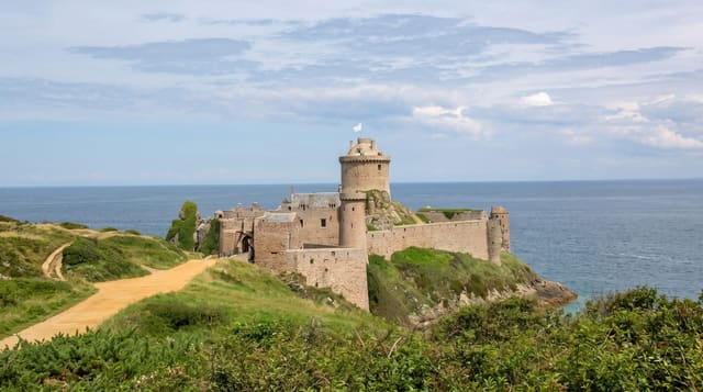
Fort la Latte lies east; Erquy is west.
Key facts
Source: Wikidata, item Q175676, read on 18 October 2026.
What to pack for Cap Frehel
Chosen from what this place is for. Tap a kit for the full checklist.
- Broken-in walking shoes or boots - Grip and ankle support matter more than looks; never hike in brand-new boots. Find on Amazon
- Layers + a waterproof shell - Mountain weather turns fast; a packable rain jacket saves the day. Find on Amazon
- Daypack with rain cover - 20-30 litres holds water, snacks, layers and a first-aid kit. Find on Amazon
- Offline maps + a power bank - Download the trail before you lose signal; carry backup charge. Find on Amazon
Some links on this page are Amazon affiliate links - if you buy through them we may earn a small commission at no extra cost to you.
All packing kitsPlan your trip
Where to start if Cap Frehel is going on the list.
Booking links on this page are affiliate links - if you book through them we may earn a small commission at no extra cost to you. It never changes what we write about a place.
Opening times, ticket prices and seasonal closures change - check the official source before you go: official site.